MyTopo
Willowemoc New York US Topo Map
Couldn't load pickup availability
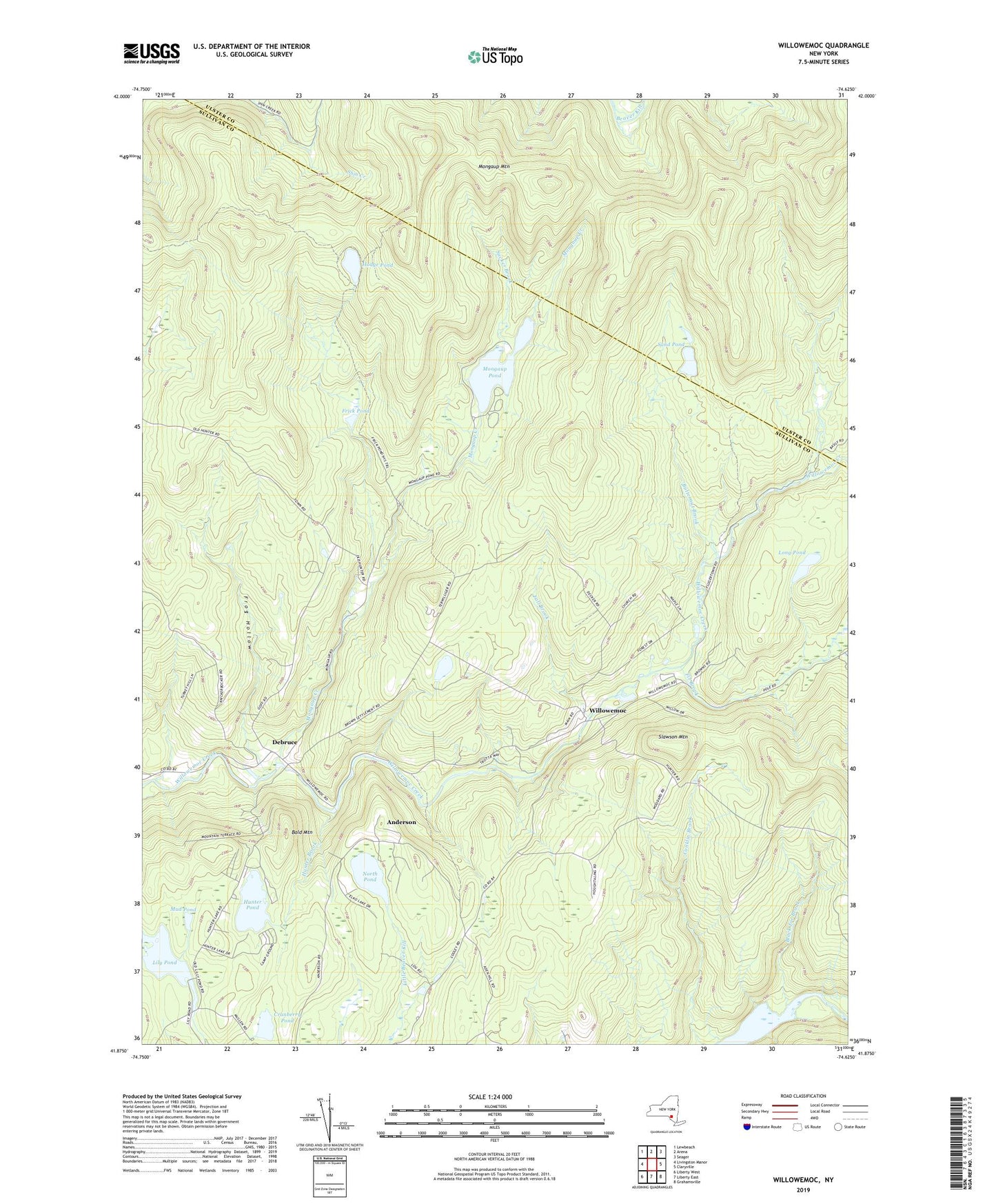
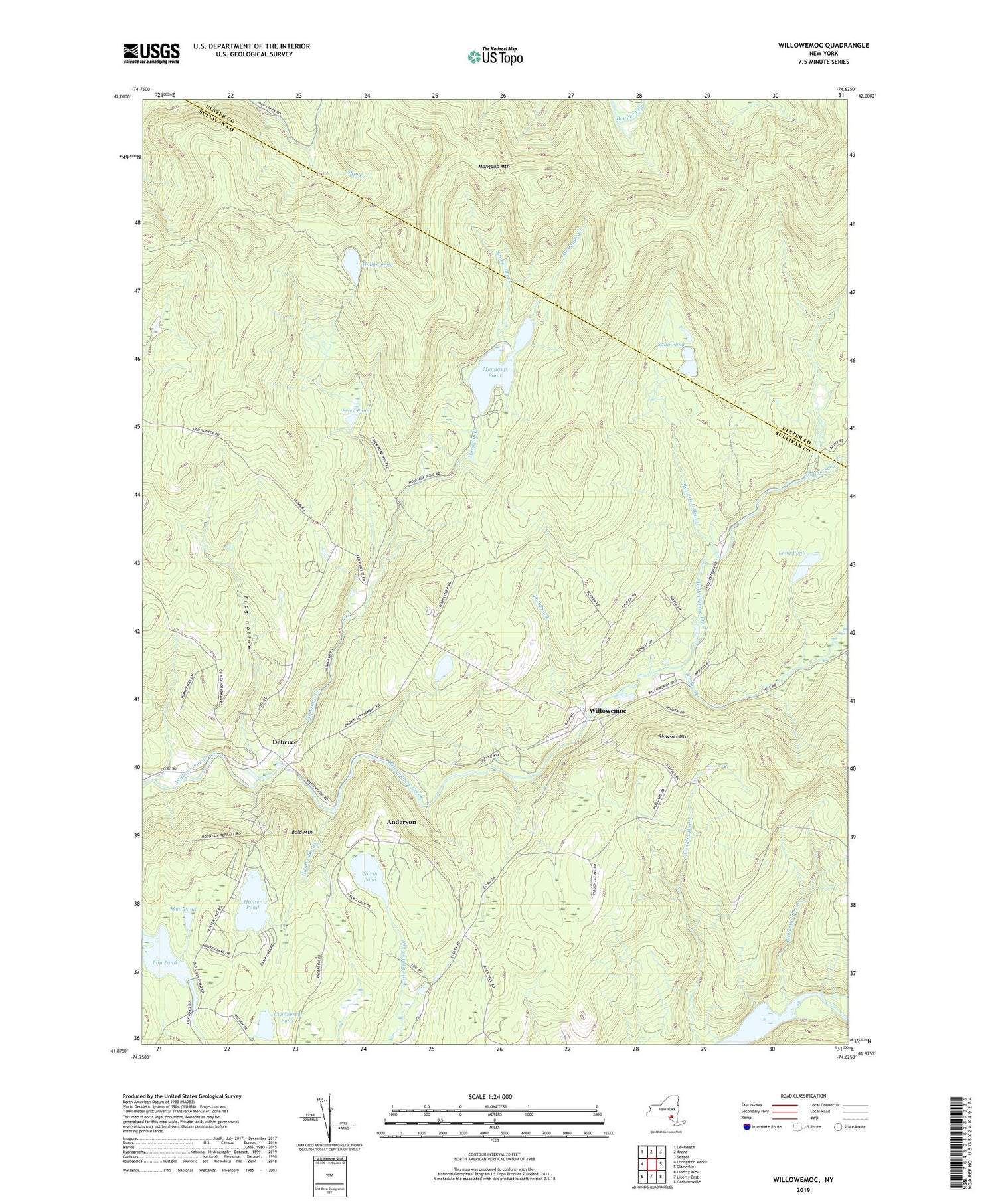
2019 topographic map quadrangle Willowemoc in the state of New York. Scale: 1:24000. Based on the newly updated USGS 7.5' US Topo map series, this map is in the following counties: Sullivan, Ulster. The map contains contour data, water features, and other items you are used to seeing on USGS maps, but also has updated roads and other features. This is the next generation of topographic maps. Printed on high-quality waterproof paper with UV fade-resistant inks.
Quads adjacent to this one:
West: Livingston Manor
Northwest: Lewbeach
North: Arena
Northeast: Seager
East: Claryville
Southeast: Grahamsville
South: Liberty East
Southwest: Liberty West
Contains the following named places: Anderson, Bald Mountain, Black Joe Brook, Butternut Brook, Covered Bridge Campsite, Cranberry Pond, Debruce, Fall Brook, Fir Brook, Frick Pond, Frog Hollow, Hodge Pond, Hunter Brook, Hunter Lake Campground, Hunter Pond, Lily Pond, Long Pond, Mongaup Creek, Mongaup Mountain, Mongaup Pond, Mongaup Pond Campsite, Mud Pond, North Pond, Sand Pond, Slawson Mountain, Sucker Brook, West Delaware Aqueduct, Willowemoc, Willowemoc Campsite, ZIP Code: 12758