MyTopo
Claryville New York US Topo Map
Couldn't load pickup availability
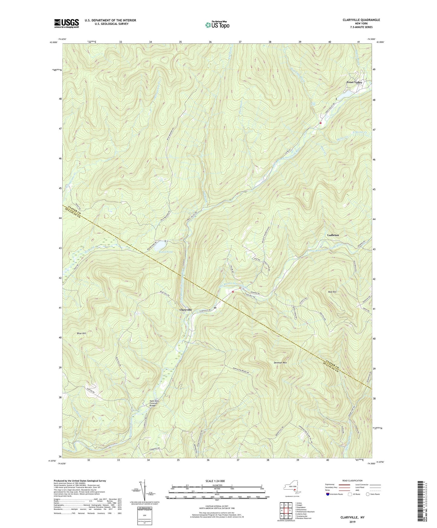
2023 topographic map quadrangle Claryville in the state of New York. Scale: 1:24000. Based on the newly updated USGS 7.5' US Topo map series, this map is in the following counties: Ulster, Sullivan. The map contains contour data, water features, and other items you are used to seeing on USGS maps, but also has updated roads and other features. This is the next generation of topographic maps. Printed on high-quality waterproof paper with UV fade-resistant inks.
Quads adjacent to this one:
West: Willowemoc
Northwest: Arena
North: Seager
Northeast: Shandaken
East: Peekamoose Mountain
Southeast: Rondout Reservoir
South: Grahamsville
Southwest: Liberty East
This map covers the same area as the classic USGS quad with code o41074h5.
Contains the following named places: Biscuit Brook, Blue Hill, Camp Pine, Camp Wawayanda, Claryville, Claryville Post Office, Claryville Volunteer Fire Department Main Station, Claryville Volunteer Fire Department West Branch Substation, Clear Creek, Denman Mountain, Dry Brook, Dry Creek, East Branch Neversink River, East Delaware Aqueduct, East Moor Brook, Fall Brook, Flat Brook, Frost Valley, Halls Mills Covered Bridge, High Falls, High Falls Brook, Ladleton, North Shelter Creek, Pigeon Brook, Red Hill, Round Pond, Seep Brook, Shelter Creek, South Shelter Creek, West Branch Neversink River, West Dry Creek, West Moor Brook, ZIP Code: 12725