MyTopo
Boiling Springs North North Carolina US Topo Map
Couldn't load pickup availability
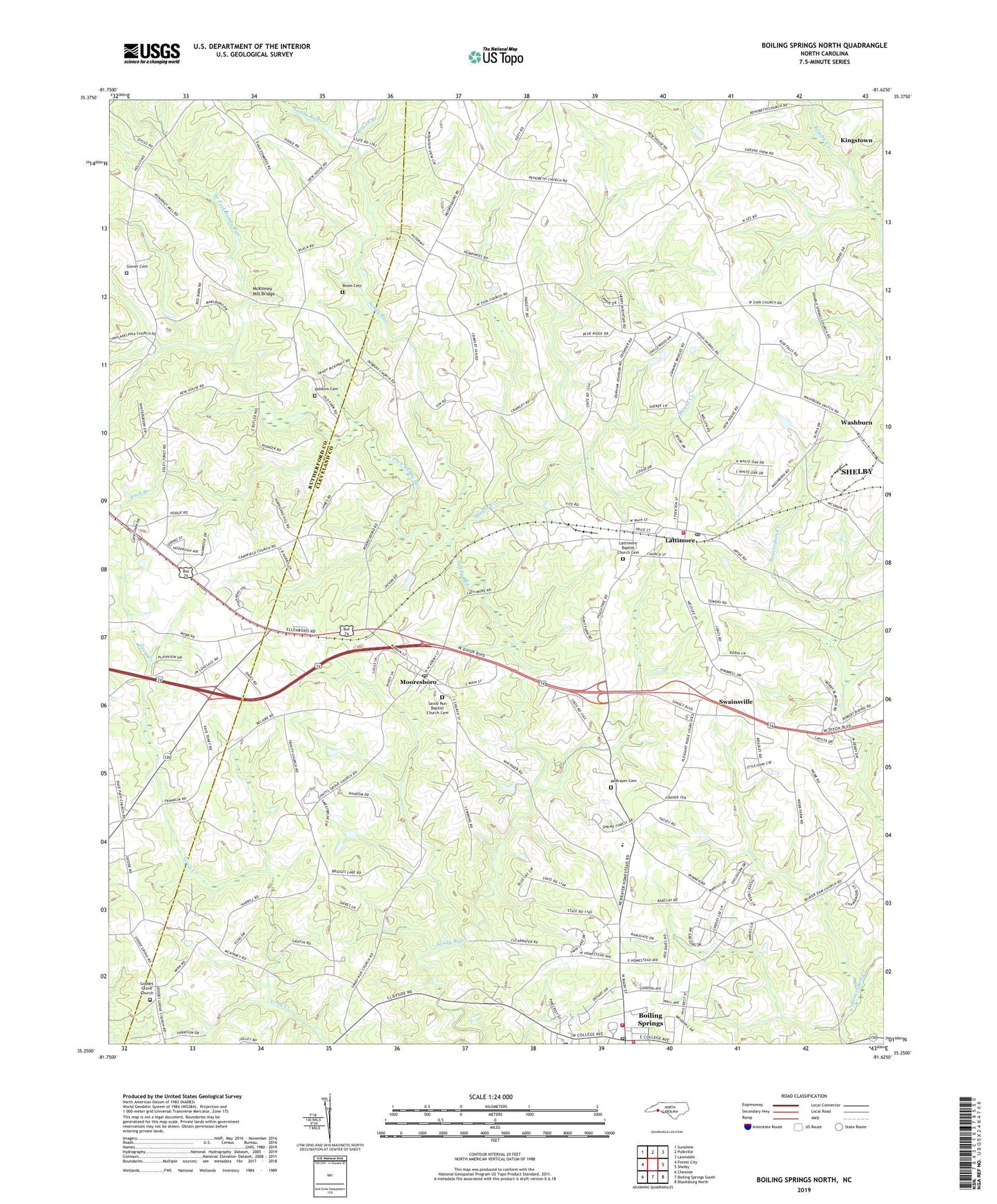
2022 topographic map quadrangle Boiling Springs North in the state of North Carolina. Scale: 1:24000. Based on the newly updated USGS 7.5' US Topo map series, this map is in the following counties: Cleveland, Rutherford. The map contains contour data, water features, and other items you are used to seeing on USGS maps, but also has updated roads and other features. This is the next generation of topographic maps. Printed on high-quality waterproof paper with UV fade-resistant inks.
Quads adjacent to this one:
West: Forest City
Northwest: Sunshine
North: Polkville
Northeast: Lawndale
East: Shelby
South: Boiling Springs South
This map covers the same area as the classic USGS quad with code o35081c6.
Contains the following named places: 29NC Airport, Beam Cemetery, Beamans Mill, Boiling Springs, Boiling Springs City Volunteer Fire Department, Boiling Springs Fire and Rescue, Boiling Springs Lifesaving and Rescue Unit, Boiling Springs Methodist Church, Boiling Springs Post Office, Bowen Branch, Buck Branch, Campfield Memorial Church, Cleveland County EMS Station 4, Dobbins Cemetery, Dobbins Church, Double Springs Baptist Church, Fairview School, Gantts Grove Church, Glover Cemetery, Good, Goodes Grove Church, Grants Grove Church, Green, Green Bethel Church, Lattimore, Lattimore Baptist Church, Lattimore Baptist Church Graveyard, Lattimore Elementary School, Lattimore Post Office, Mayne Creek, McBrayer Cemetery, McKinney Mill, McKinney Mill Bridge, McSwain Mill, Mooneys Mill, Mooresboro, Mooresboro Post Office, Number 7 Township Volunteer Fire Department, Philadelphia Church, Plainview Church, Pleasant Ridge Church, Rehobeth, Rehobeth Cemetery, Rehobeth Church, Rehobeth School, Rock Ford, Sandy Run Baptist Church, Sandy Run Baptist Church Cemetery, Sandy Run Township 7, Six Points, Swainsville, Town of Boiling Springs, Town of Lattimore, Town of Mooresboro, Trinity Baptist Church, Washburn, West Cleveland Elementary School, West Fork Sandy Run, Youngs Chapel, Youngs Store, ZIP Code: 28089