MyTopo
Eastatoe Gap North Carolina US Topo Map
Couldn't load pickup availability
Also explore the Eastatoe Gap Forest Service Topo of this same quad for updated USFS data
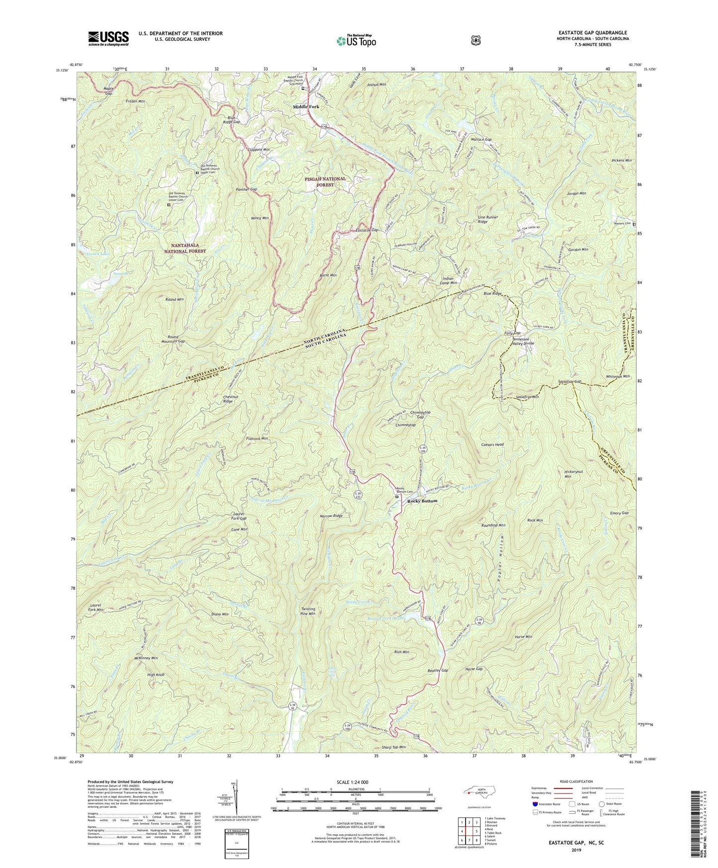
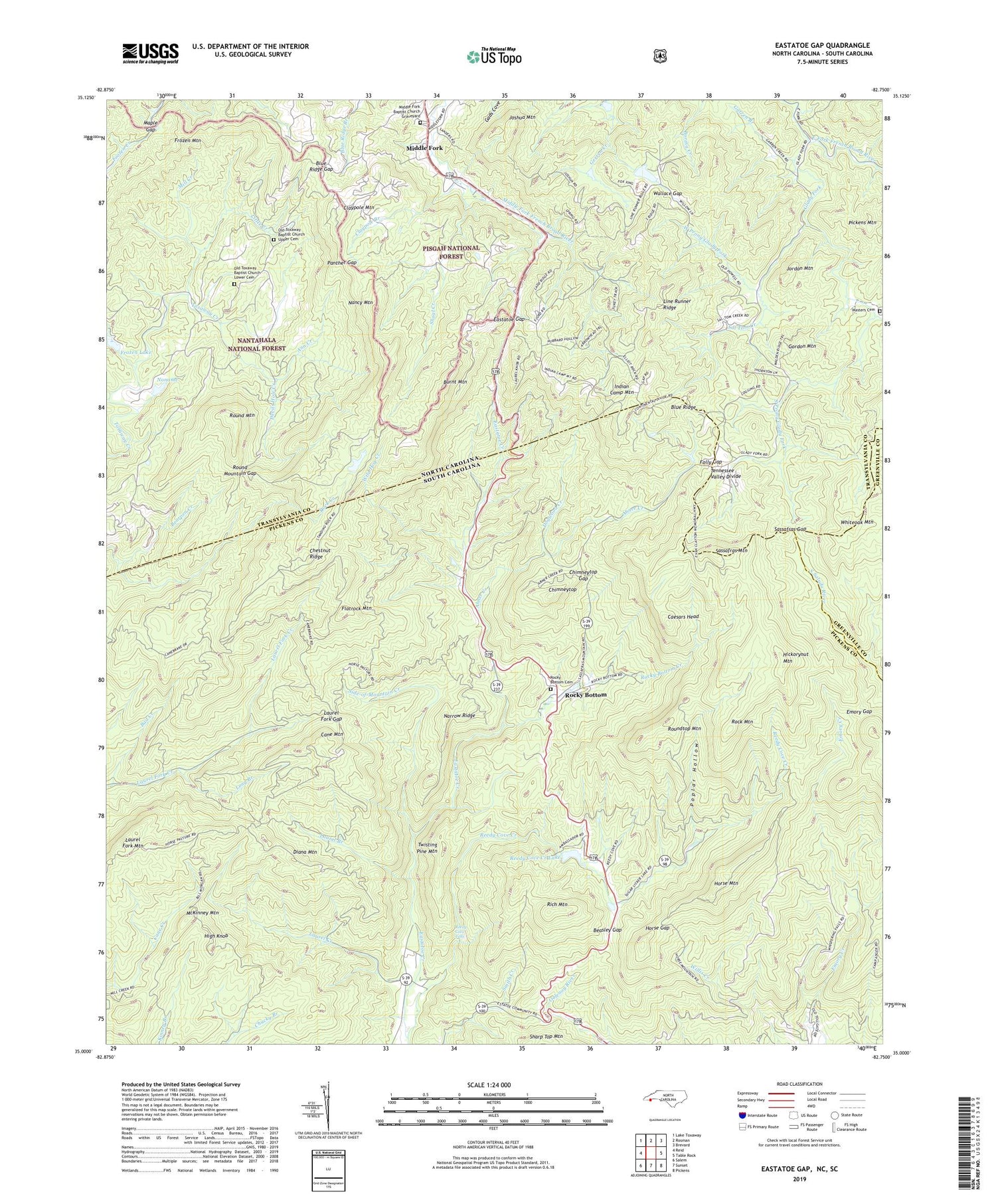
2022 topographic map quadrangle Eastatoe Gap in the states of South Carolina, North Carolina. Scale: 1:24000. Based on the newly updated USGS 7.5' US Topo map series, this map is in the following counties: Transylvania, Pickens, Greenville. The map contains contour data, water features, and other items you are used to seeing on USGS maps, but also has updated roads and other features. This is the next generation of topographic maps. Printed on high-quality waterproof paper with UV fade-resistant inks.
Quads adjacent to this one:
West: Reid
Northwest: Lake Toxaway
North: Rosman
Northeast: Brevard
East: Table Rock
Southeast: Pickens
South: Sunset
Southwest: Salem
Contains the following named places: Abner Creek, Alexanders Store, Ann Creek, Bad Creek, Bearpen Creek, Beasley Gap, Blue Ridge Gap, Burnt Mountain, Caesars Head, Camp Adger, Camp McCall, Camp Rocky Bottom, Cane Mountain, Chestnut Ridge, Chimneytop, Chimneytop Gap, Claypole Branch, Claypole Mountain, Devils Hole Creek, Diana Mountain, Dogwood Creek, Eastatoe Gap, Emory Gap, Flatrock Mountain, Folly Gap, Frozen Creek, Frozen Lake, Frozen Lake Dam, Frozen Mountain, Garren Branch, Glady Fork, Gordon Mountain, Hickorynut Mountain, High Knob, Horse Gap, Horse Mountain, Indian Camp Mountain, Jane Cantrell Creek, Jordan Mountain, Joshua Mountain, Laurel Branch, Laurel Creek, Laurel Fork Gap, Line Runner Ridge, Little Creek, Long Branch, Maple Gap, Masters Cemetery, McKinney Mountain, Middle Fork, Middle Fork Baptist Church Graveyard, Mill Creek, Nancy Mountain, Narrow Ridge, Noname, North Pickens Division, Old Toxaway Baptist Church Lower Cemetery, Old Toxaway Baptist Church Upper Cemetery, Old Toxaway Church, Panther Gap, Pickens Mountain, Poplar Hollow, Reedy Cove Creek, Reedy Cove Creek Lake, Reedy Cove Creek Lake Dam D-1964, Reedy Cove Falls, Rich Mountain, Ridge Haven, Rock Mountain, Rocky Bottom, Rocky Bottom Baptist Church, Rocky Bottom Baptist Church Graveyard, Rocky Bottom Camp for the Blind, Rocky Bottom Creek, Rocky Bottom School, Round Mountain, Round Mountain Gap, Roundtop Mountain, Sal Tom Creek, Sassafras Gap, Sassafras Mountain, Shoal Creek, Side-of-Mountain Creek, South Prong Glady Fork, The Wilds Dam, Township of Eastatoe, Twisting Pine Mountain, Upper Sagar Dam, W S Sagar Lake, W S Sagar Lake Dam, Wallace Gap, West Prong Glady Fork, Whiteoak Mountain, Wild Hog Creek, ZIP Code: 28772


