
MyTopo
Engelhard East North Carolina US Topo Map
Couldn't load pickup availability
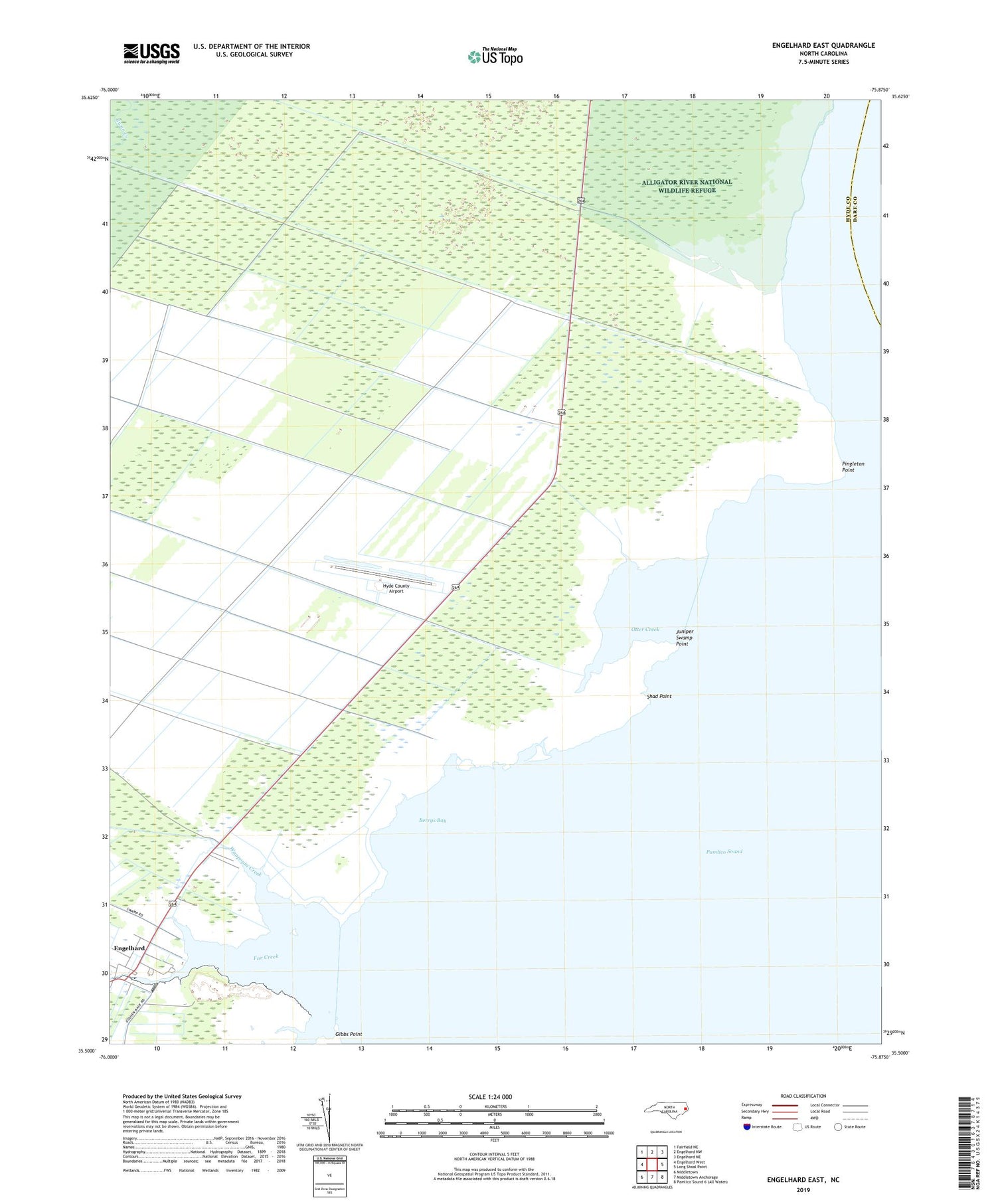
2019 topographic map quadrangle Engelhard East in the state of North Carolina. Scale: 1:24000. Based on the newly updated USGS 7.5' US Topo map series, this map is in the following counties: Hyde, Dare. The map contains contour data, water features, and other items you are used to seeing on USGS maps, but also has updated roads and other features. This is the next generation of topographic maps. Printed on high-quality waterproof paper with UV fade-resistant inks.
Quads adjacent to this one:
West: Engelhard West
Northwest: Fairfield NE
North: Engelhard NW
Northeast: Engelhard NE
East: Long Shoal Point
South: Middletown Anchorage
Southwest: Middletown
Contains the following named places: Berrys Bay, Broad Creek, Engelhard, Far Creek, Gibbs Point, Hyde County Airport, Juniper Swamp Point, Kitty Creek, Liverman Airport, Otter Creek, Oyster Creek, Pingleton Point, Shad Point, Waupopin Creek


