MyTopo
Engelhard NE North Carolina US Topo Map
Couldn't load pickup availability
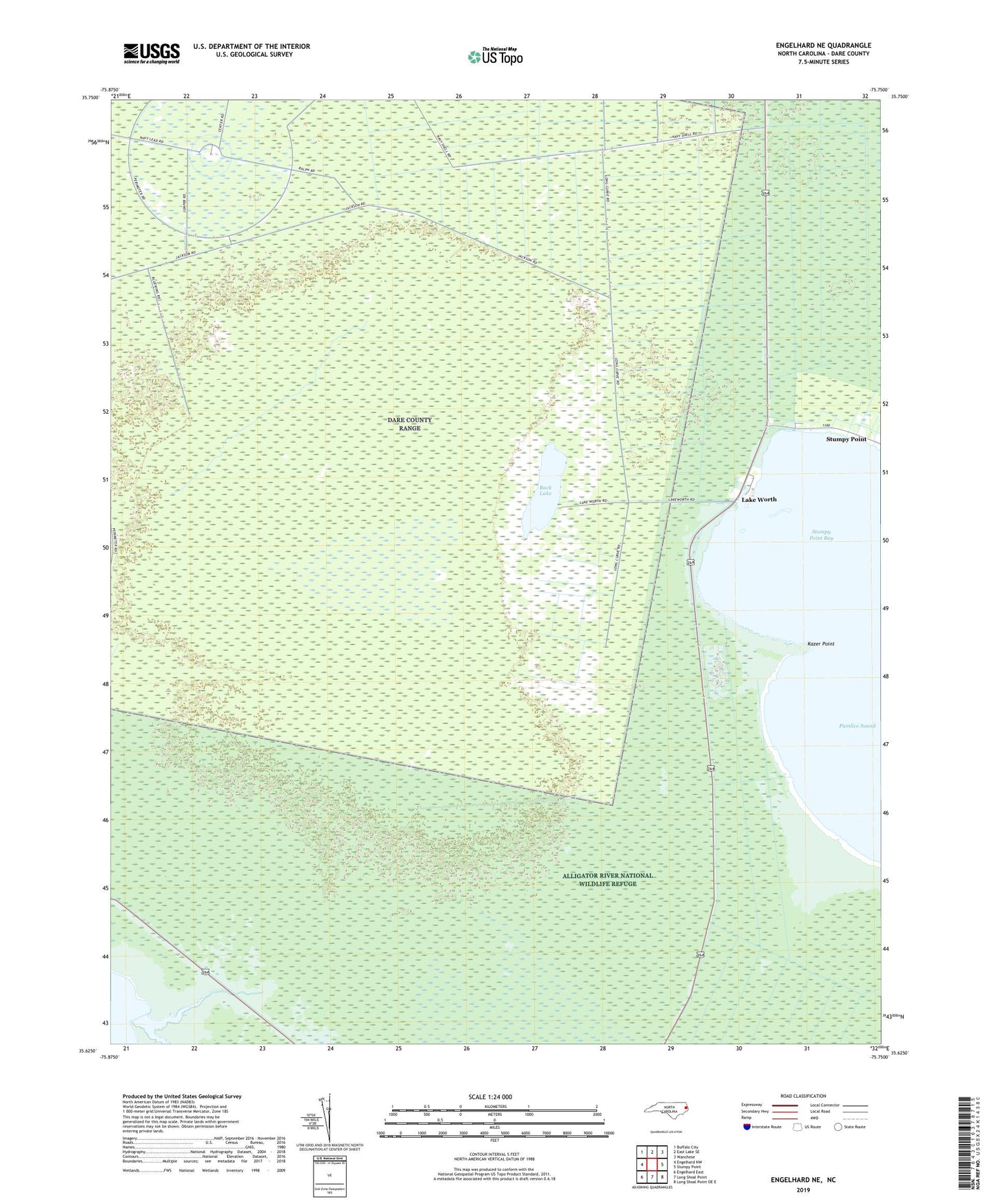
2022 topographic map quadrangle Engelhard NE in the state of North Carolina. Scale: 1:24000. Based on the newly updated USGS 7.5' US Topo map series, this map is in the following counties: Dare. The map contains contour data, water features, and other items you are used to seeing on USGS maps, but also has updated roads and other features. This is the next generation of topographic maps. Printed on high-quality waterproof paper with UV fade-resistant inks.
Quads adjacent to this one:
West: Engelhard NW
Northwest: Buffalo City
North: East Lake SE
Northeast: Wanchese
East: Stumpy Point
Southeast: Long Shoal Point OE E
South: Long Shoal Point
Southwest: Engelhard East
This map covers the same area as the classic USGS quad with code o35075f7.
Contains the following named places: Air Force Dare County Bombing Range, Back Lake, Deep Creek, Full Gospel Tabernacle, Kazer Point, Lake Worth, Stumpy Point Bay