MyTopo
Falling Creek North Carolina US Topo Map
Couldn't load pickup availability
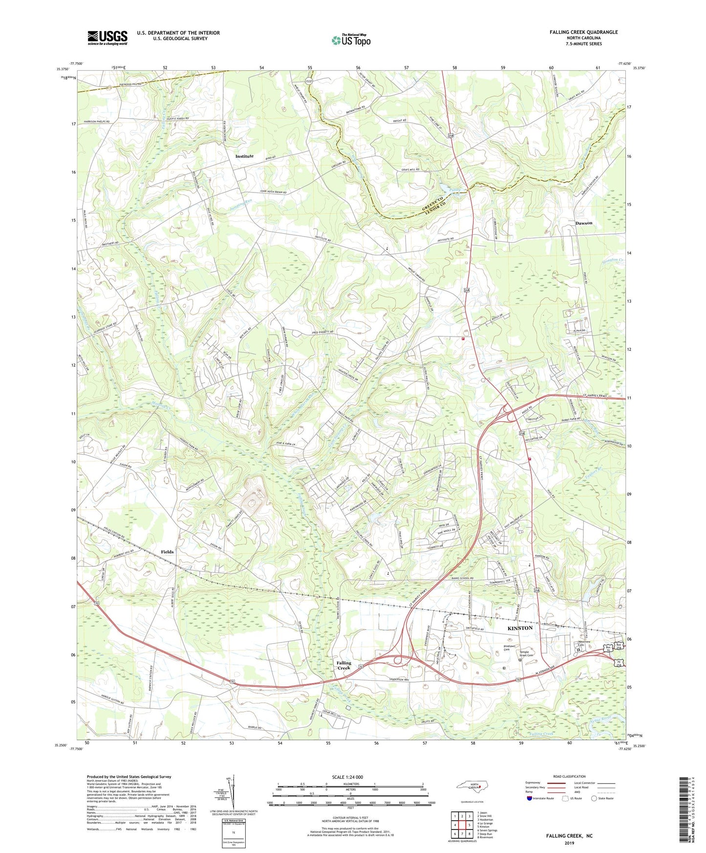
2022 topographic map quadrangle Falling Creek in the state of North Carolina. Scale: 1:24000. Based on the newly updated USGS 7.5' US Topo map series, this map is in the following counties: Lenoir, Greene. The map contains contour data, water features, and other items you are used to seeing on USGS maps, but also has updated roads and other features. This is the next generation of topographic maps. Printed on high-quality waterproof paper with UV fade-resistant inks.
Quads adjacent to this one:
West: La Grange
Northwest: Jason
North: Snow Hill
Northeast: Hookerton
East: Kinston
Southeast: Rivermont
South: Deep Run
Southwest: Seven Springs
This map covers the same area as the classic USGS quad with code o35077c6.
Contains the following named places: Banks Chapel, Banks Elementary School, Bethel Church, Beulah Church, Bible Missionary Church, Branchwood, Briarwood Terrace, Bryant Tabernacle, Castle Oaks, Church of the Nazarene, County Acres, County Square Estates, Dailey School, Dawson, Dobbs School, Falling Creek, Falling Creek Station, Fields, Foxtail Mobile Home Park, Grays Millpond Dam, Groundnut Creek, Gum Swamp Creek, Hardison Crossroads, Herring Grove Church, Hickory Hills, Hillcrest Farms, Holly Hill Church, Hull Road Church, Hullwood, Institute, Jones Tabernacle, Jumping Run, Jumping Run Church, Kennedy Memorial Home, Kinston Department of Fire and Rescue - Station 3, Kinstonian Hights, Moseley Creek, Mount Vernon Park, New Birth Church, North Lenoir Fire and Rescue Station 2, North Lenoir Fire Department - Station 1, North Lenoir Fire District, North Lenoir High School, Oak Grove Church, Oakview School, Orridge School, Parrots, Pecan Grove Mobile Home Park, Pinelawn Cemetery, Pulley Pond, Random Woods, Rochelle Corners, Saint Marks Church, Temple Israel Cemetery, Township of Falling Creek, Township of Institute, Trinity Church, Trinity Woods, Tyndall School, WELS-AM (Kinston), Westview Cemetery, WFTC-AM (Kinston), Wheat Swamp, Wheat Swamp Church, Wheat Swamp School, White Marsh Run, WRNS-FM (Kinston)


