MyTopo
Deep Run North Carolina US Topo Map
Couldn't load pickup availability
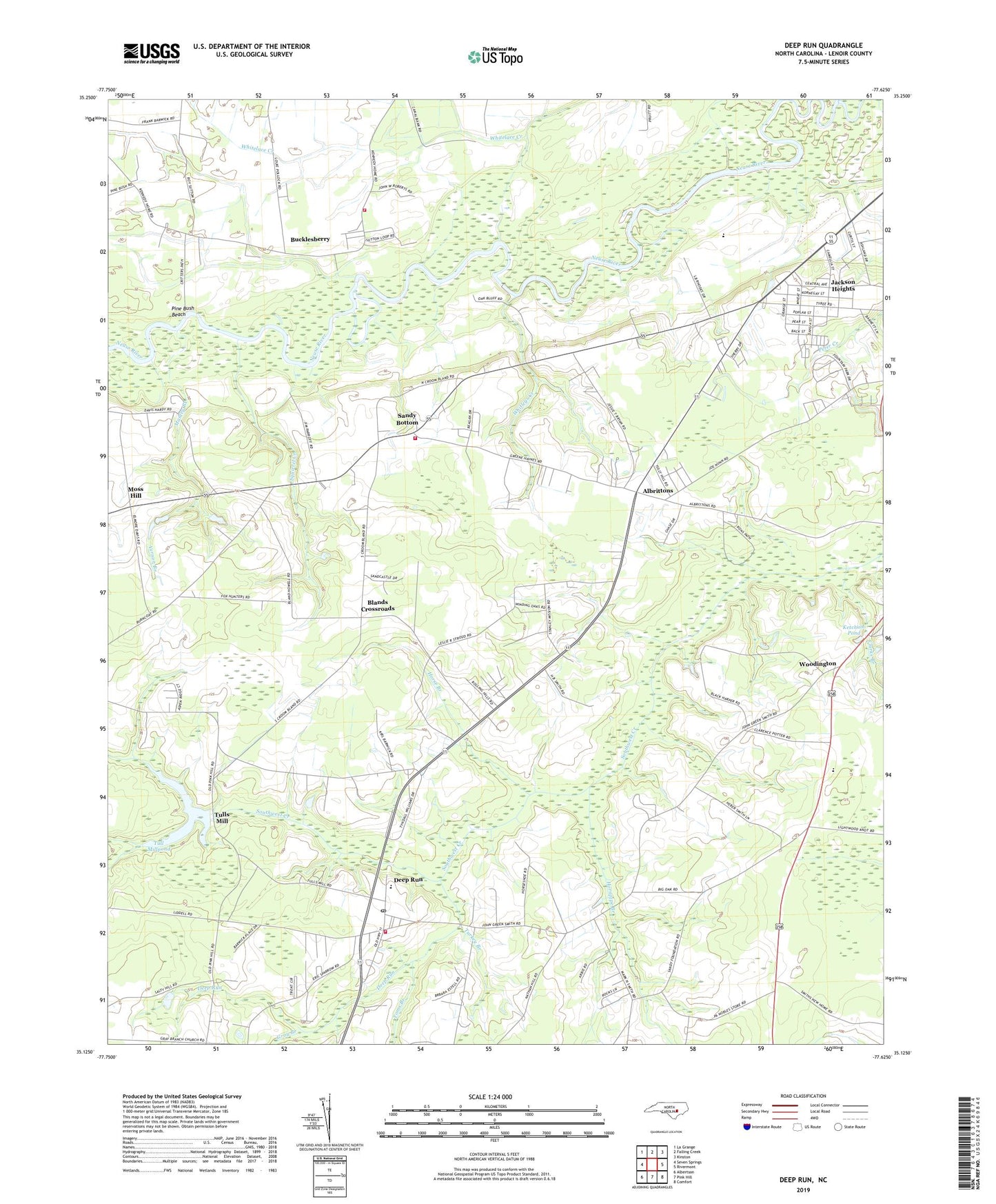
2022 topographic map quadrangle Deep Run in the state of North Carolina. Scale: 1:24000. Based on the newly updated USGS 7.5' US Topo map series, this map is in the following counties: Lenoir. The map contains contour data, water features, and other items you are used to seeing on USGS maps, but also has updated roads and other features. This is the next generation of topographic maps. Printed on high-quality waterproof paper with UV fade-resistant inks.
Quads adjacent to this one:
West: Seven Springs
Northwest: La Grange
North: Falling Creek
Northeast: Kinston
East: Rivermont
Southeast: Comfort
South: Pink Hill
Southwest: Albertson
This map covers the same area as the classic USGS quad with code o35077b6.
Contains the following named places: Albrittons, Blands Crossroads, Bucklesberry, Clarks Branch, Deep Run, Deep Run Census Designated Place, Deep Run Church, Deep Run Church of God, Deep Run Fire District, Deep Run Post Office, Deep Run School, Deep Run Volunteer Fire Department, Falling Creek, Gospel Church, Gray Branch, Hickory Grove Church, Holly Grove Church, Hornpipe Branch, Horse Branch, Howard Place Mobile Home Park, Jackson Heights Census Designated Place, Jackson Heights Church, Jackson Heights Mobile Home Park, Jackson Hights, Jacksons Crossroads, Ketchum Pond, Kinston Drag Strip, Lawson Chapel, Lenoir County, Macedonia Church, Manley Branch, Moss Hill, Mount Zion Church, New Hope Church, North Lenoir Fire and Rescue Station 3, Peoples Church, Pine Bush Beach, Pot Neck, Sandy Bottom, Sandy Bottom Fire and Rescue, Sandy Bottom Fire District, Smith New Home Church, South Lenoir High School, Squirrel Creek, Stanley Mission, Toms Branch, Township of Neuse, Township of Trent, True Light Holy Tabernacle, Tull Millpond, Tull Millpond Dam, Tulls Mill, Turkey Branch, Vernon Branch, Webbs Chapel, Whitelace Creek, Whitleys Creek, Woodington, Woodington School, ZIP Codes: 28504, 28525


