
MyTopo
Great Island North Carolina US Topo Map
Couldn't load pickup availability
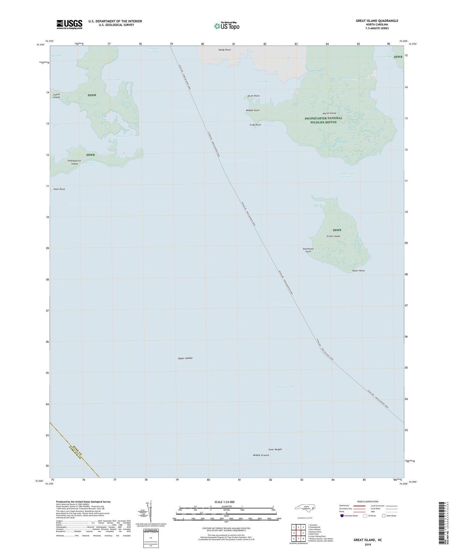
2019 topographic map quadrangle Great Island in the state of North Carolina. Scale: 1:24000. Based on the newly updated USGS 7.5' US Topo map series, this map is in the following counties: Hyde, Pamlico. The map contains contour data, water features, and other items you are used to seeing on USGS maps, but also has updated roads and other features. This is the next generation of topographic maps. Printed on high-quality waterproof paper with UV fade-resistant inks.
Quads adjacent to this one:
West: Pamlico Point
Northwest: Scranton
North: Swanquarter
Northeast: New Holland
East: Bluff Point
Southwest: Little Fishing Point
Contains the following named places: Caffee Bay, Crab Cove, Crab Point, Drum Point, Eastard Bay, Great Island, Great Island Narrows, Inner Middle, Island Creek, Juniper Bay, Marsh Island, Middle Ground, Middle Point, Old Haulover, Outer Point, Raccoon Creek, Shell Narrows, Shell Point, Smokehouse Cove, Southwest Point, Swanquarter Bay, Swanquarter Island, Swanquarter Wilderness, Township of Swan Quarter, Upper Middle


