MyTopo
Little Fishing Point North Carolina US Topo Map
Couldn't load pickup availability
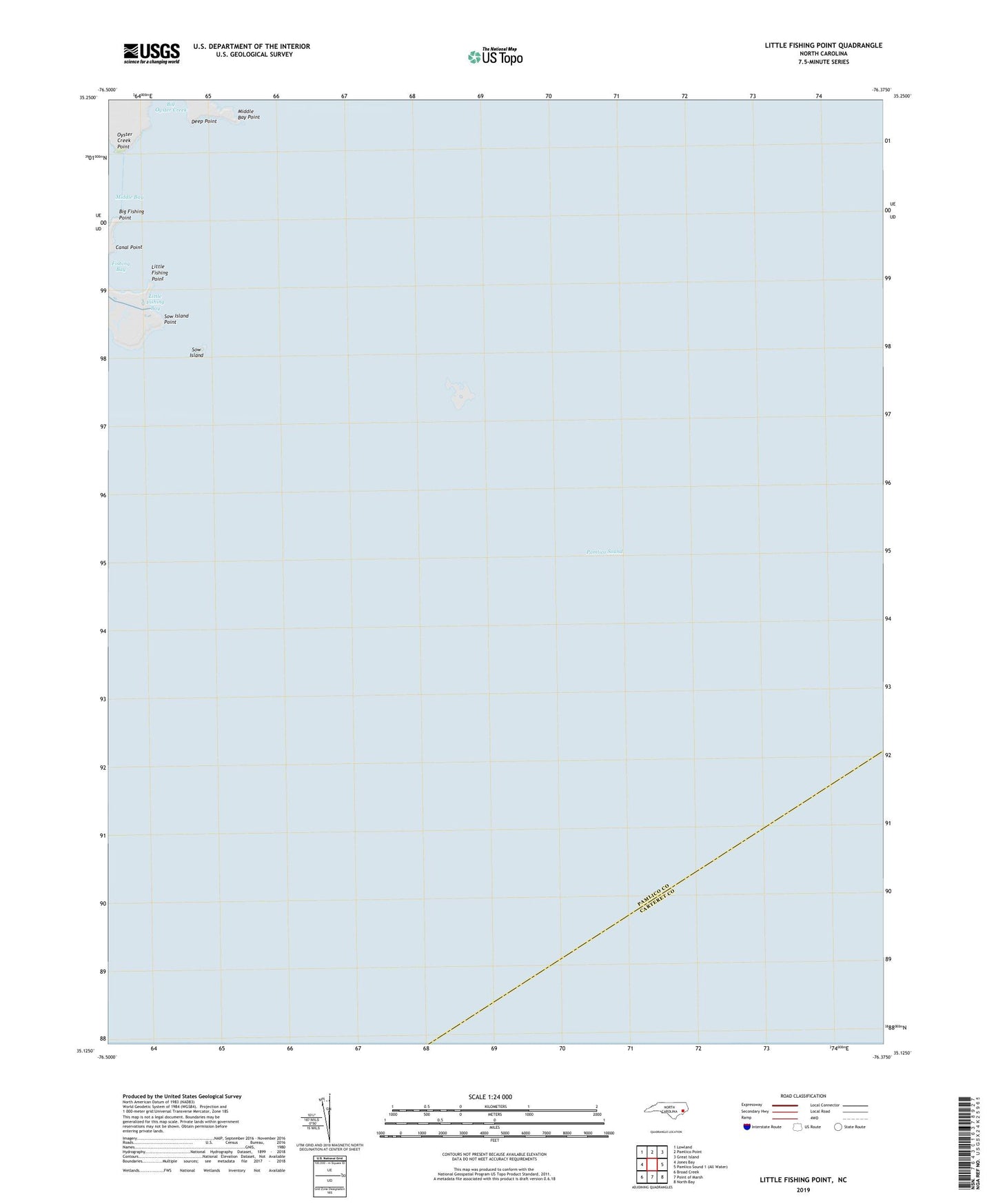
2022 topographic map quadrangle Little Fishing Point in the state of North Carolina. Scale: 1:24000. Based on the newly updated USGS 7.5' US Topo map series, this map is in the following counties: Pamlico, Carteret. The map contains contour data, water features, and other items you are used to seeing on USGS maps, but also has updated roads and other features. This is the next generation of topographic maps. Printed on high-quality waterproof paper with UV fade-resistant inks.
Quads adjacent to this one:
West: Jones Bay
Northwest: Lowland
North: Pamlico Point
Northeast: Great Island
Southeast: North Bay
South: Point of Marsh
Southwest: Broad Creek
This map covers the same area as the classic USGS quad with code o35076b4.
Contains the following named places: Big Fishing Point, Big Oyster Creek, Brant Island, Canal Point, Deep Point, Fishing Bay, Little Fishing Bay, Little Fishing Point, Middle Bay Point, Oyster Creek Point, Sow Island, Sow Island Point