MyTopo
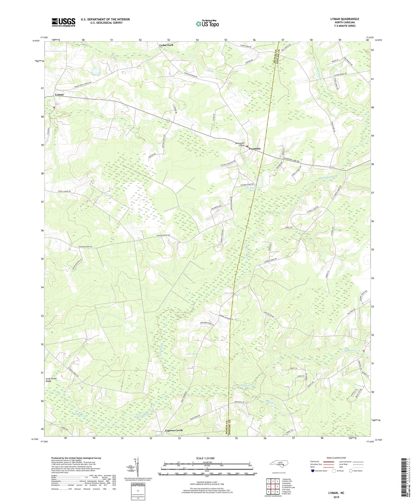
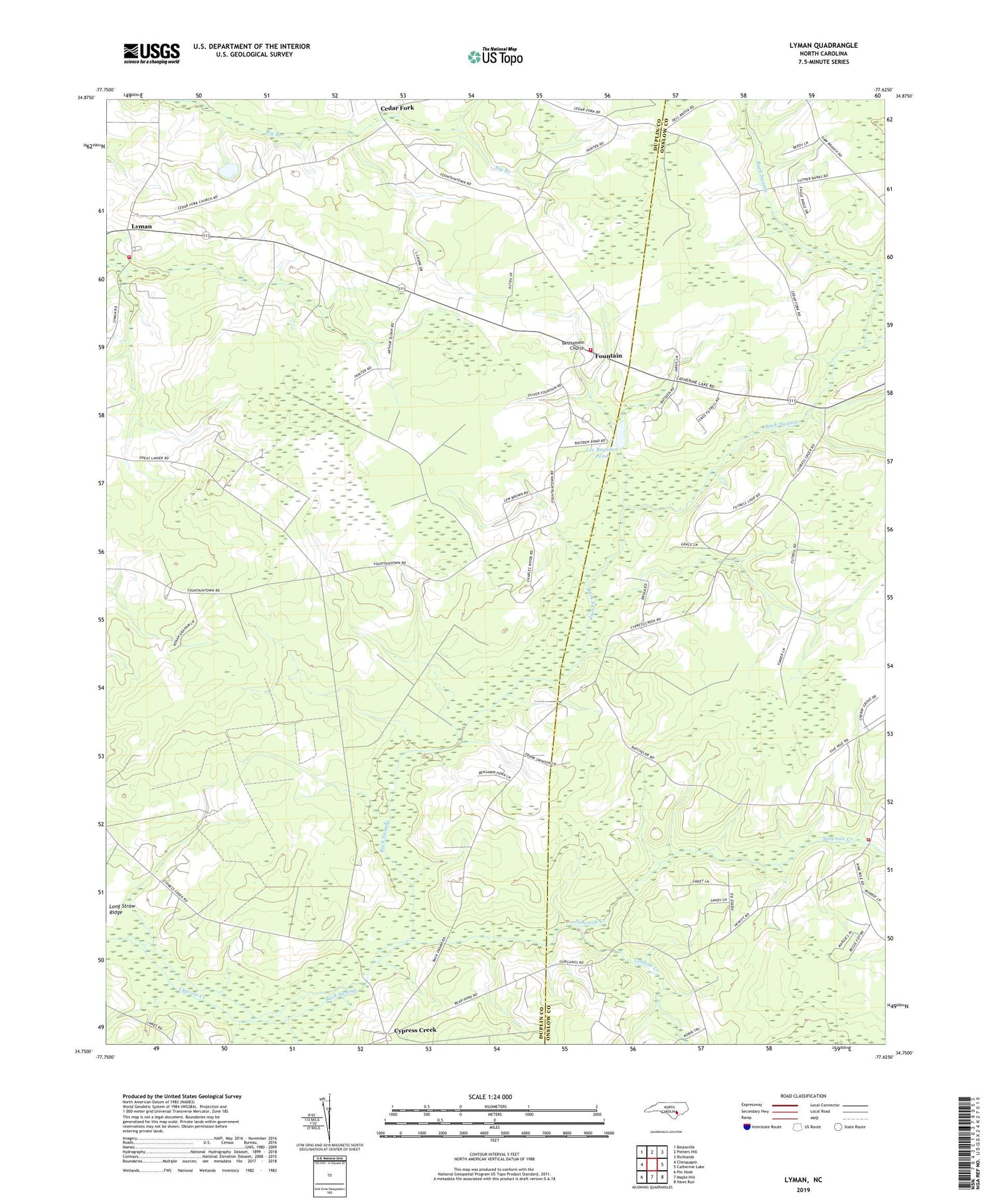
Lyman North Carolina US Topo Map
Couldn't load pickup availability
2019 topographic map quadrangle Lyman in the state of North Carolina. Scale: 1:24000. Based on the newly updated USGS 7.5' US Topo map series, this map is in the following counties: Duplin, Onslow. The map contains contour data, water features, and other items you are used to seeing on USGS maps, but also has updated roads and other features. This is the next generation of topographic maps. Printed on high-quality waterproof paper with UV fade-resistant inks.
Quads adjacent to this one:
West: Chinquapin
Northwest: Beulaville
North: Potters Hill
Northeast: Richlands
East: Catherine Lake
Southeast: Haws Run
South: Maple Hill
Southwest: Pin Hook
Contains the following named places: Angola Creek, Back Swamp, Back Swamp Church, Bethany Church, Bethlehem Church, Cedar Fork Baptist Church, Cypress Creek, Cypress Creek P Baptist Church, Davis Memorial Church, Fountain, Fountain Airport, Fountaintown Fire Department, Gurganus, Gurganus Church, Lee Baysden Pond, Lyman, Lyman Volunteer Fire Department, Mount Zion Church, Muddy Creek P Baptist Church, New Hope Church, Nine Mile Volunteer Fire Department, Nine Mile Volunteer Rescue Squad, Ninemile Creek, Old Bethlehem Church, Sand Mobile Home Park, Springfield Church, Springfield School, Tenmile Creek, ZIP Code: 28521