MyTopo
Marble North Carolina US Topo Map
Couldn't load pickup availability
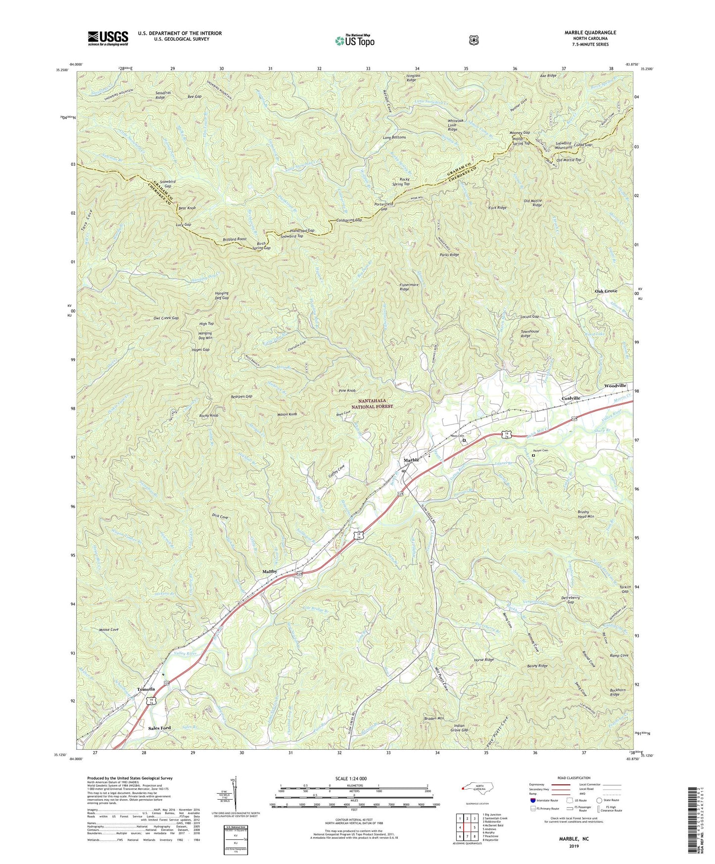
2019 topographic map quadrangle Marble in the state of North Carolina. Scale: 1:24000. Based on the newly updated USGS 7.5' US Topo map series, this map is in the following counties: Cherokee, Graham. The map contains contour data, water features, and other items you are used to seeing on USGS maps, but also has updated roads and other features. This is the next generation of topographic maps. Printed on high-quality waterproof paper with UV fade-resistant inks.
Quads adjacent to this one:
West: McDaniel Bald
Northwest: Big Junction
North: Santeetlah Creek
Northeast: Robbinsville
East: Andrews
Southeast: Hayesville
South: Peachtree
Southwest: Murphy
Contains the following named places: Allmon Camp Branch, Allmon Creek, Axe Ridge, Barnett Branch, Bear Knob, Bearpen Gap, Bee Gap, Benny Cove, Benny Ridge, Bettis Branch, Big Cove, Big Dam Branch, Birch Spring Branch, Birch Spring Gap, Birchspring Branch, Brushy Head Mountain, Buckhorn Branch, Burnt Branch, Buzzard Roost, Charlotte Cove, Chestnut Log Branch, Cindy Branch, Coalville, Coffey Cove, Coldspring Branch, Coldspring Gap, Colvard Creek, Cowmire Branch, Cozad Branch, Cozad Gap, Derreberry Branch, Derreberry Gap, Dick Branch, Dick Cove, Fairview Church, Fishermare Branch, Fishermare Ridge, Fork Ridge, Gabby Branch, Graybeard Creek, Grey Quarry, Griggs Branch, Gumstock Branch, Hanging Dog Gap, Hanging Dog Mountain, Hayes Gap, Hayes Mill Creek, High Top, Highfall Branch, Hornet Nest Branch, Horse Ridge, Hurricane Branch, Hyatt Creek, Indian Grave Gap, Jackson Branch, Jenick Branch, John Newton Branch, Juanita Branch, Keener Branch, Kimsey Cove, Ladd Branch, Laurel Branch, Little Dam Branch, Locust Gap, Long Bottoms, Long Branch, Lucy Branch, Lucy Gap, Luther Branch, Magazine Branch, Maltby, Marble, Marble Census Designated Place, Marble Elementary School, Marble Post Office, Mary Branch, Mason Branch, Mason Knob, Mooney Gap, Moose Cove, Morgan Creek, Morris Creek, Moss, Moss Branch, Moss Cemetery, Mount Zion Church, Mulky Branch, Nancy Hawkins Branch, Nelson Cove, Newman Branch, Oak Grove, Old Mattie Ridge, Old Mattie Top, Owl Creek Gap, Pace Branch, Panther Cove, Parker Branch, Parker Cemetery, Parks Ridge, Parsons Branch, Pine Knob, Plankroad Branch, Plankroad Gap, Pole Bridge Branch, Poplar Spring Top, Porterfield Gap, Pounding Mill Branch, Puett Creek, Ramp Cove, Ramp Cove Branch, Rattler Branch, Rhea Branch, Rhea Cove, Rocky Knob, Rocky Spring Branch, Rocky Spring Top, Rogers Creek, Round Cove, Rubble Quarry, Sales Branch, Sales Ford, Sam Branch, Sam Newton Branch, Sassafras Branch, Sassafras Ridge, Sawmill Branch, Schoolhouse Branch, Sharp Branch, Simon Branch, Slickrock Branch, Slow Creek School, Snowbird Gap, Snowbird Top, Stillhouse Branch, Sunday Branch, Swag Cove, Tarkiln Gap, Tava Cove, Taylor Creek, Terrazo Switch, Thrash Creek, Tom Branch, Tom Taylor Branch, Tomotla, Townhouse Creek, Townhouse Ridge, Vengeance Creek, Vengeance Creek Church, Wagon Timber Branch, Welch Mill Creek, Whiteoak Limb Ridge, Will Creek, Will Puett Cove, Wilson Branch, Wolfpen Branch, Wood Lake, Wood Lake Dam, Woodville, Woody Branch, ZIP Code: 28905