MyTopo
Nicholson Creek North Carolina US Topo Map
Couldn't load pickup availability
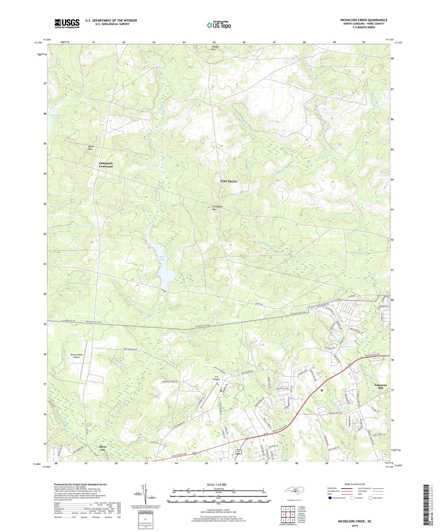
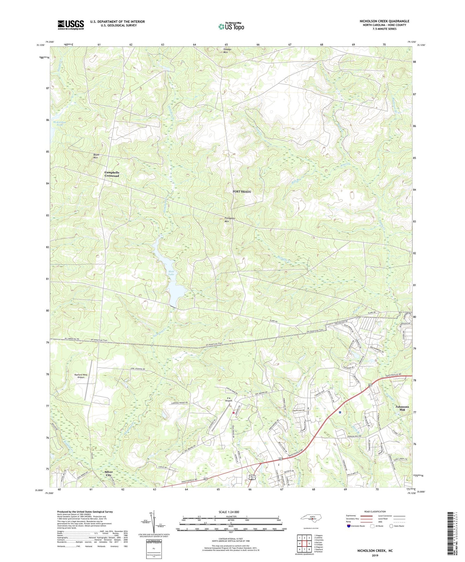
2019 topographic map quadrangle Nicholson Creek in the state of North Carolina. Scale: 1:24000. Based on the newly updated USGS 7.5' US Topo map series, this map is in the following counties: Hoke. The map contains contour data, water features, and other items you are used to seeing on USGS maps, but also has updated roads and other features. This is the next generation of topographic maps. Printed on high-quality waterproof paper with UV fade-resistant inks.
Quads adjacent to this one:
West: McCain
Northwest: Niagara
North: Lobelia
Northeast: Overhills
East: Clifdale
Southeast: Parkton
South: Raeford
Southwest: Wagram
Contains the following named places: Black Creek, Black Ford, Blues Mountain, Bull Branch, Campbells Crossroad, East Freedom Church, Finlayson Mountain, Gaddys Mountain, Hoke County, Johnsons Mill, McDuffie Creek, Mott Lake, NC Noname Thirty-Four Dam, Nicholson Creek, North Raeford Fire Department, P K Airpark, Patterson Branch, Puppy Creek Ford, Raeford West Airport, Rays Creek, Township of Fort Bragg Military Reservation, Trap Branch, Wayside