
MyTopo
Northeast Lumberton North Carolina US Topo Map
Couldn't load pickup availability
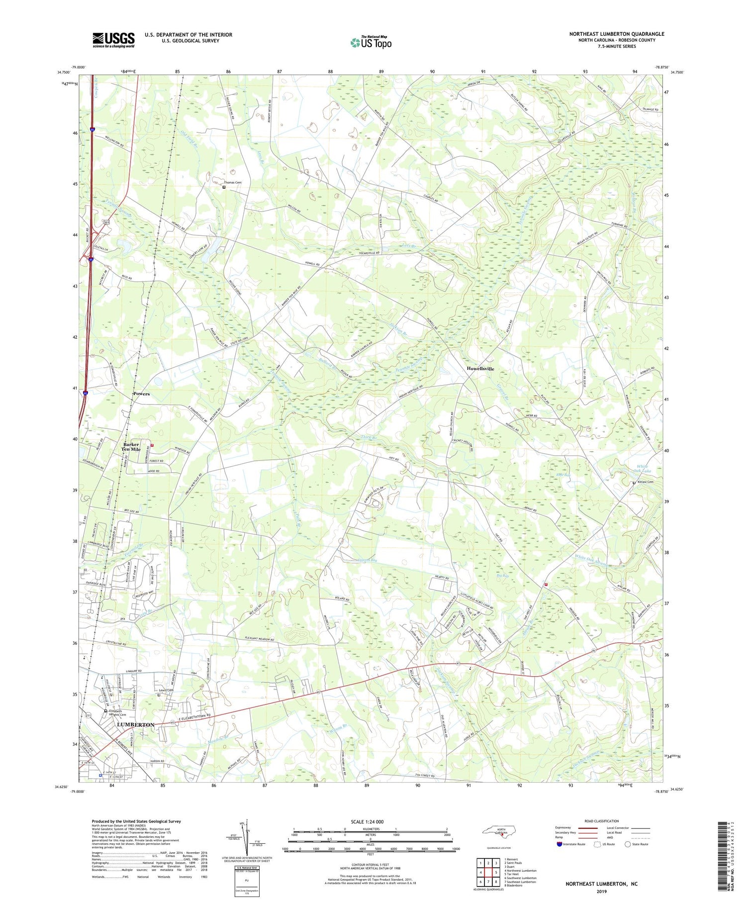
2019 topographic map quadrangle Northeast Lumberton in the state of North Carolina. Scale: 1:24000. Based on the newly updated USGS 7.5' US Topo map series, this map is in the following counties: Robeson. The map contains contour data, water features, and other items you are used to seeing on USGS maps, but also has updated roads and other features. This is the next generation of topographic maps. Printed on high-quality waterproof paper with UV fade-resistant inks.
Quads adjacent to this one:
West: Northwest Lumberton
Northwest: Rennert
North: Saint Pauls
Northeast: Duart
East: Tar Heel
Southeast: Bladenboro
South: Southeast Lumberton
Southwest: Southwest Lumberton
Contains the following named places: Abram Branch, Baker Chapel, Barker Ten Mile, Barker Ten Mile Census Designated Place, Barker Tenmile School, Barkers Church, Bayside Church, Bethel Church, Big Bay, Bullard Branch, Chrysolite Church, Cowpen Branch, Cypress Bay, Eaglewood Mobile Home Park, East Howellsville Fire Department, Elizabeth Heights Cemetery, Floyd Temple Church, Golden Living Retirement Center, Gravel Branch, Howellsville, Jackson Branch, Jerry Ann School, Kinlaw Cemetery, Lees Branch, Lewis Cemetery, Littlefield High School, Lone Oak Mobile Home Park, Lumberton High School, Lumberton Police Department, Meadow Lark County Park, Northwoods Fire Department, Old Field Branch, Pats Branch, Pleasant Hill Church, Pleasant Meadow Church, Powers, Rafe Bay, Regan Church, Robeson Technical Institute, Rosewood Mobile Home Park, Tabernacle Church, Tenmile Center Church, Tenmile Church, Thick Branch, Thomas Cemetery, Township of West Howellsville, Union Church, Wesley Pines Retirement Community, White Oak Lake, Wildcat Branch


