MyTopo
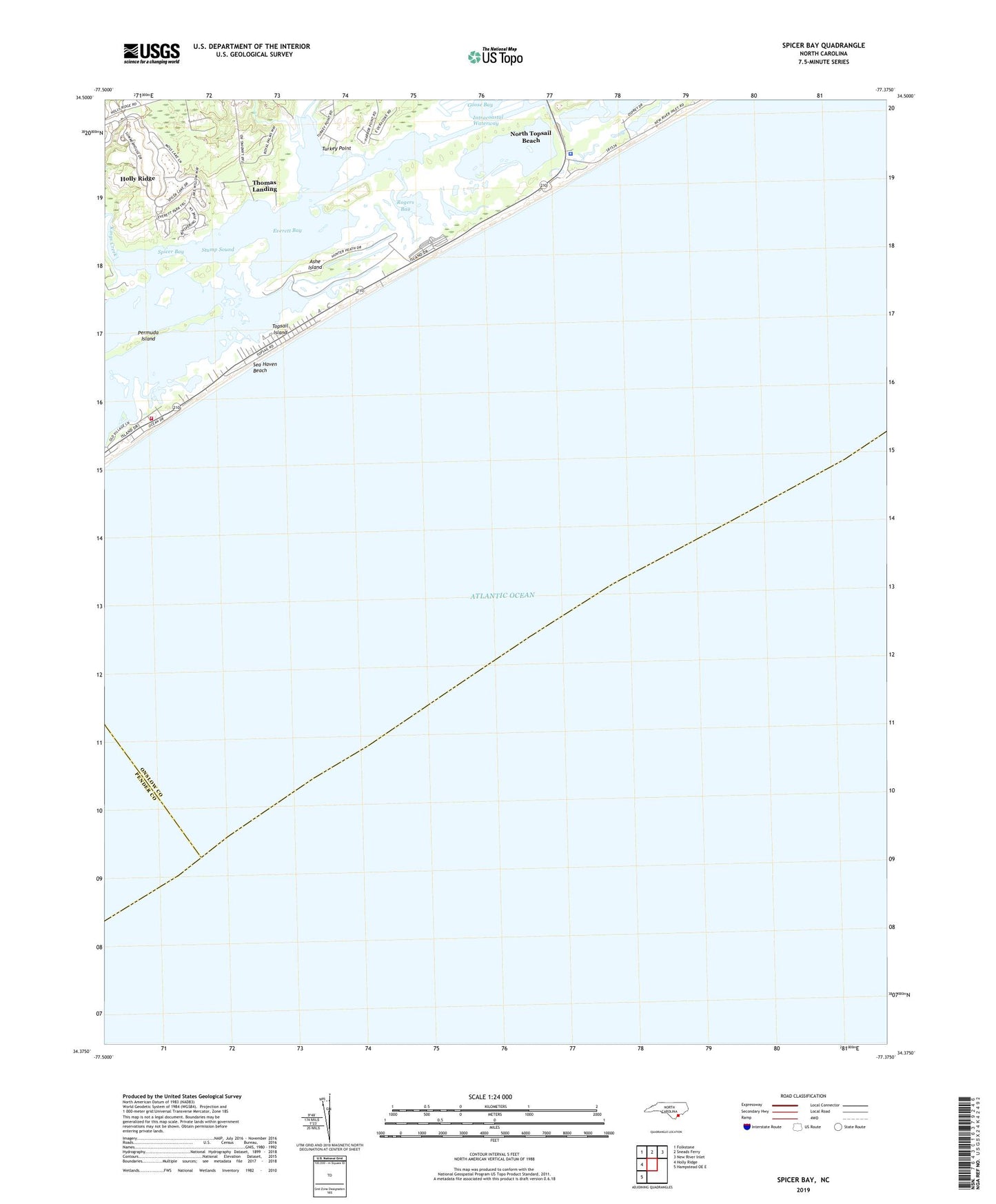
Spicer Bay North Carolina US Topo Map
Couldn't load pickup availability
2022 topographic map quadrangle Spicer Bay in the state of North Carolina. Scale: 1:24000. Based on the newly updated USGS 7.5' US Topo map series, this map is in the following counties: Onslow, Pender. The map contains contour data, water features, and other items you are used to seeing on USGS maps, but also has updated roads and other features. This is the next generation of topographic maps. Printed on high-quality waterproof paper with UV fade-resistant inks.
Quads adjacent to this one:
West: Holly Ridge
Northwest: Folkstone
North: Sneads Ferry
Northeast: New River Inlet
Southwest: Hampstead OE E
This map covers the same area as the classic USGS quad with code o34077d4.
Contains the following named places: Ashe Island, Everett Bay, Goose Bay, Kings Creek, North Topsail Beach, North Topsail Beach Fire Department South End Station, North Topsail Beach Police Department, Ocean City Beach, Onslow County Emergency Medical Services Station 7, Permuda Island, Rogers Bay, Sea Haven Beach, Spicer Bay, Stump Inlet, Stump Sound, Thomas Landing, Topsail Island, Town of North Topsail Beach, Turkey Creek, Turkey Point