MyTopo
Alkali Lake North Dakota US Topo Map
Couldn't load pickup availability
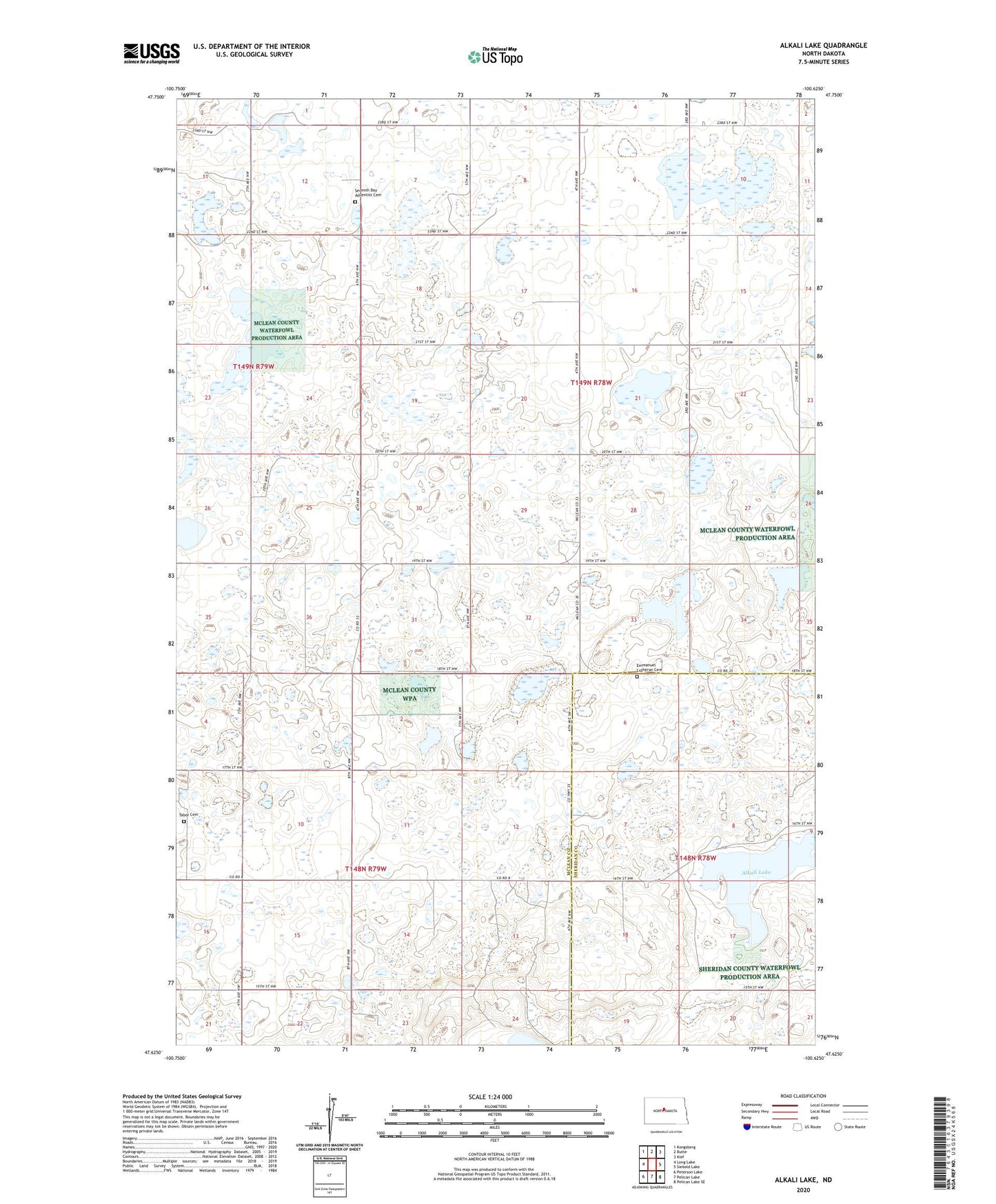
2024 topographic map quadrangle Alkali Lake in the state of North Dakota. Scale: 1:24000. Based on the newly updated USGS 7.5' US Topo map series, this map is in the following counties: McLean, Sheridan. The map contains contour data, water features, and other items you are used to seeing on USGS maps, but also has updated roads and other features. This is the next generation of topographic maps. Printed on high-quality waterproof paper with UV fade-resistant inks.
Quads adjacent to this one:
West: Long Lake
Northwest: Kongsberg
North: Butte
Northeast: Kief
East: Siebold Lake
Southeast: Pelican Lake SE
South: Pelican Lake
Southwest: Peterson Lake
This map covers the same area as the classic USGS quad with code o47100f6.
Contains the following named places: Alkali Lake, Aurena School Number 2, Aurena School Number 3, Byersville School Number 1, Byersville School Number 2, Byersville School Number 4, Emmanuel Lutheran Cemetery, Harchenko Field, Immanuel Church, Medicine Hill School Number 3, Seventh Day Adventist Cemetery, Tabor Cemetery, Township of Byersville, Township of Holmes, Township of Medicine Hill