MyTopo
Appert Lake North Dakota US Topo Map
Couldn't load pickup availability
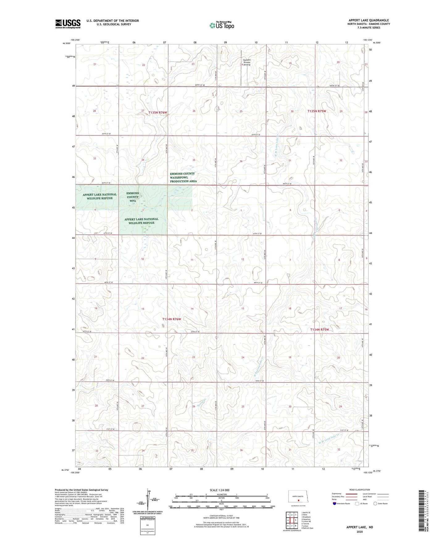
2024 topographic map quadrangle Appert Lake in the state of North Dakota. Scale: 1:24000. Based on the newly updated USGS 7.5' US Topo map series, this map is in the following counties: Emmons. The map contains contour data, water features, and other items you are used to seeing on USGS maps, but also has updated roads and other features. This is the next generation of topographic maps. Printed on high-quality waterproof paper with UV fade-resistant inks.
Quads adjacent to this one:
West: Hazelton
Northwest: Moffit SE
North: Dana
Northeast: Braddock
East: Linton NE
Southeast: Rohrich Dam
South: Linton
Southwest: Temvik
This map covers the same area as the classic USGS quad with code o46100d2.
Contains the following named places: Appert Lake, Appert Lake Dam, Appert Lake National Wildlife Refuge, Humann Private Airstrip, Township of Danbury