MyTopo
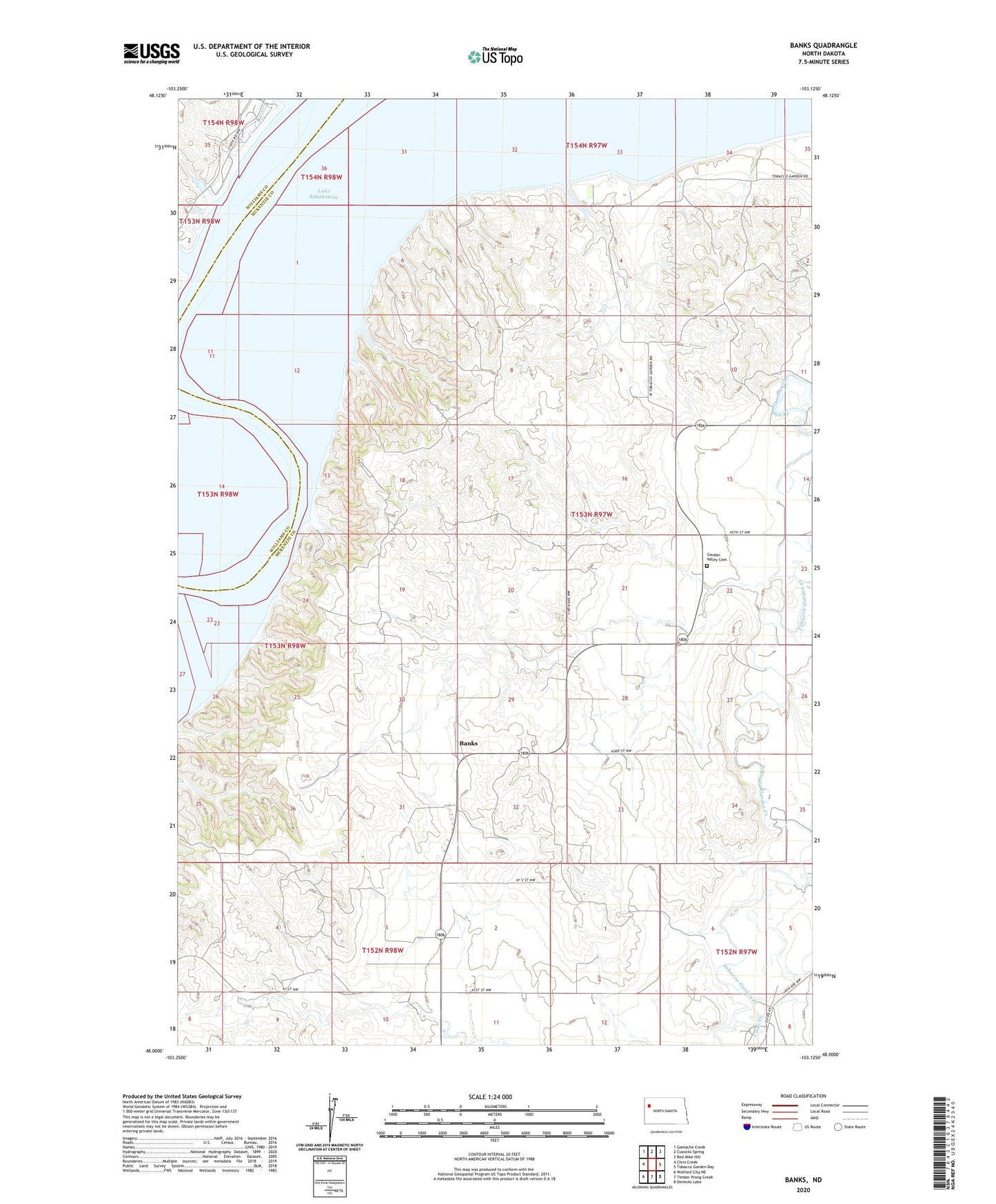
Banks North Dakota US Topo Map
Couldn't load pickup availability
Also explore the Banks Forest Service Topo of this same quad for updated USFS data
2024 topographic map quadrangle Banks in the state of North Dakota. Scale: 1:24000. Based on the newly updated USGS 7.5' US Topo map series, this map is in the following counties: McKenzie, Williams. The map contains contour data, water features, and other items you are used to seeing on USGS maps, but also has updated roads and other features. This is the next generation of topographic maps. Printed on high-quality waterproof paper with UV fade-resistant inks.
Quads adjacent to this one:
West: Chris Creek
Northwest: Gamache Creek
North: Cussicks Spring
Northeast: Red Mike Hill
East: Tobacco Garden Bay
Southeast: Demicks Lake
South: Timber Prong Creek
Southwest: Watford City NE
This map covers the same area as the classic USGS quad with code o48103a2.
Contains the following named places: Banks, C Wilson Ranch, Clear Creek, Garden Valley Cemetery, H Bonner Ranch, J Grantier Ranch, Lewis and Clark State Park, Long Creek, M Wald Ranch, M Wold Ranch, Short Creek, Township of Twin Valley