MyTopo
Bantry NW North Dakota US Topo Map
Couldn't load pickup availability
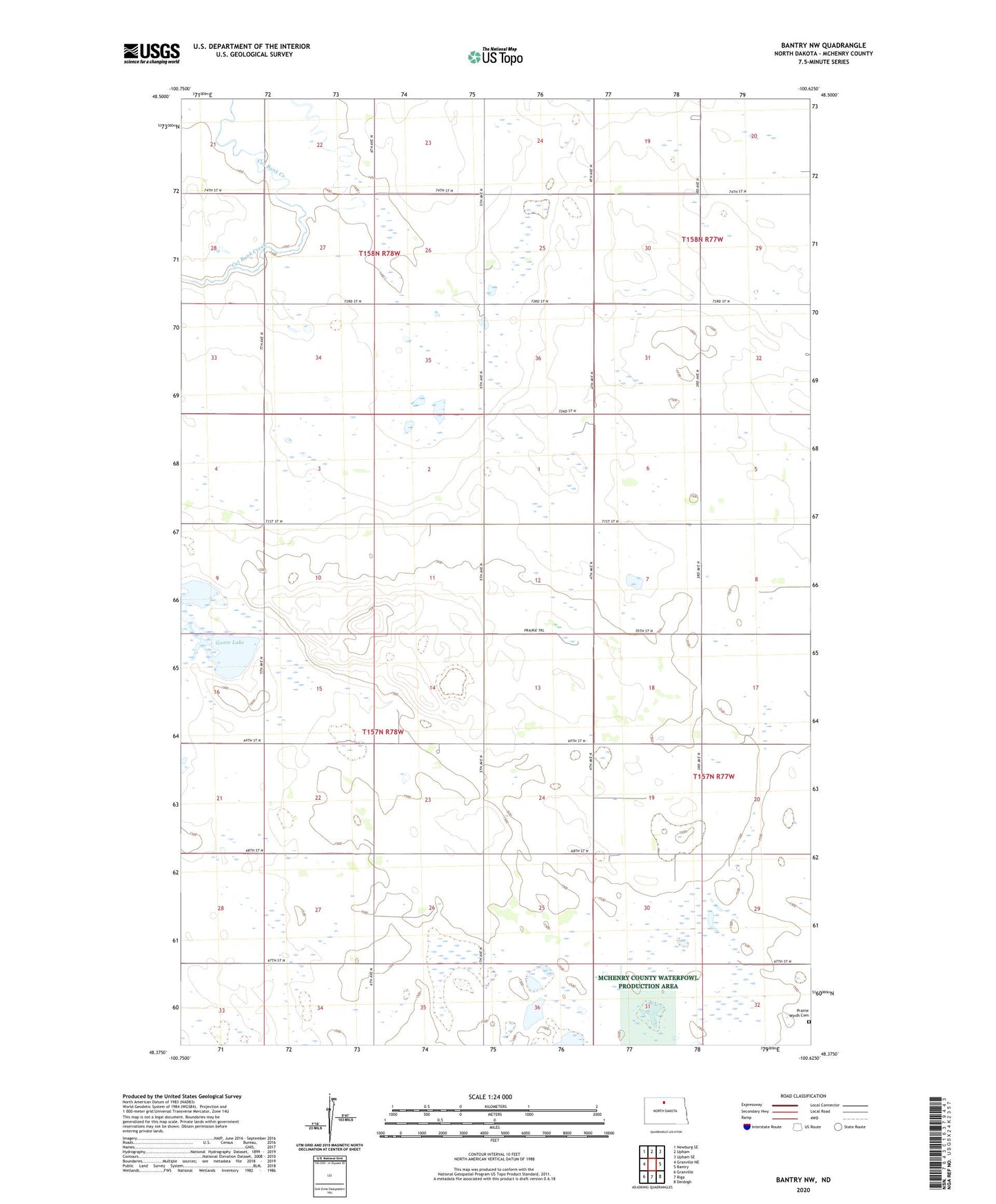
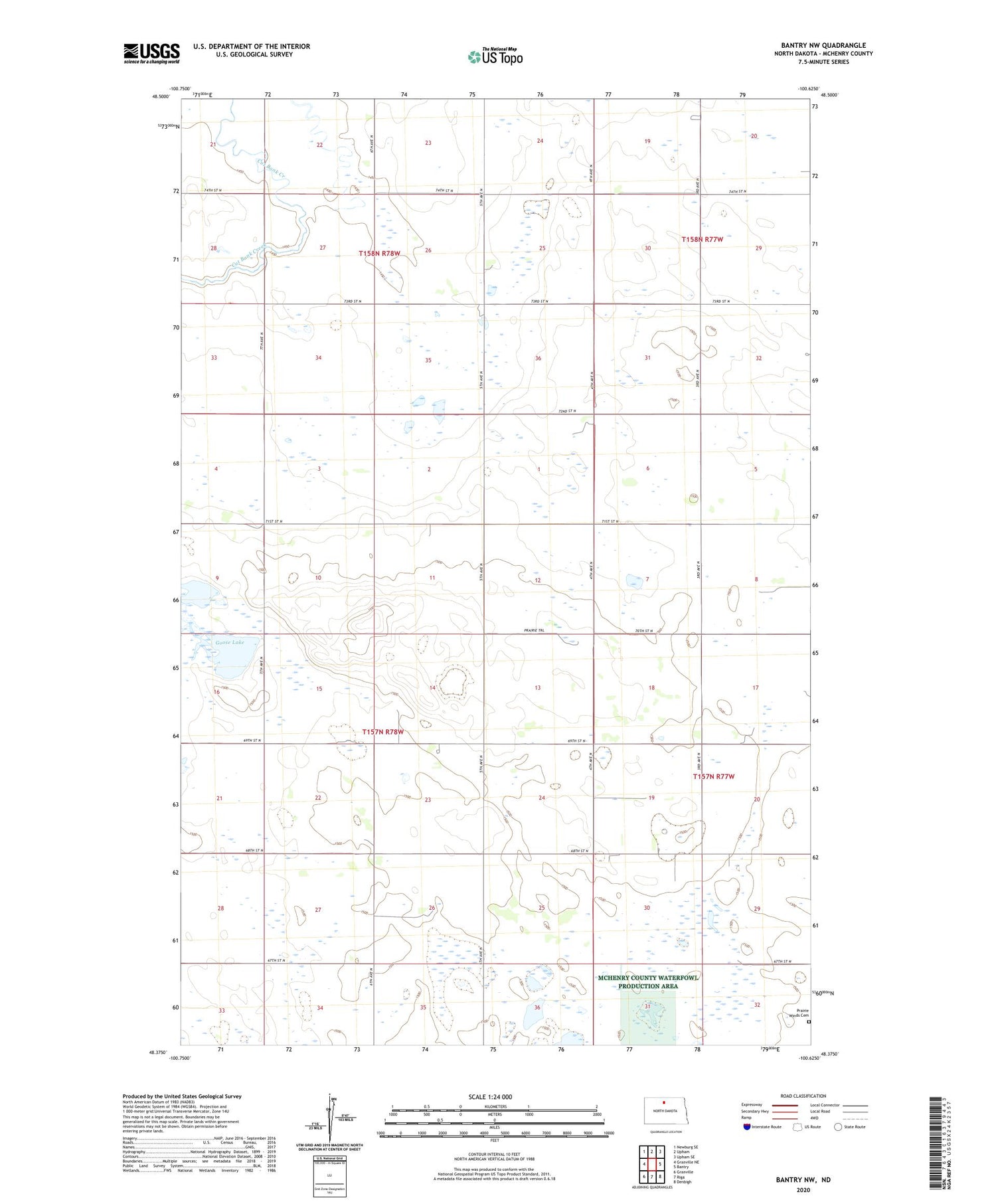
2020 topographic map quadrangle Bantry NW in the state of North Dakota. Scale: 1:24000. Based on the newly updated USGS 7.5' US Topo map series, this map is in the following counties: McHenry. The map contains contour data, water features, and other items you are used to seeing on USGS maps, but also has updated roads and other features. This is the next generation of topographic maps. Printed on high-quality waterproof paper with UV fade-resistant inks.
Quads adjacent to this one:
West: Granville NE
Northwest: Newburg SE
North: Upham
Northeast: Upham SE
East: Bantry
Southeast: Denbigh
South: Riga
Southwest: Granville
Contains the following named places: Goose Lake, Johnson School, Medicine Lodge School Number 4, Norenberg School, Prairie Winds Cemetery, Township of Gilmore