MyTopo
Benedict North Dakota US Topo Map
Couldn't load pickup availability
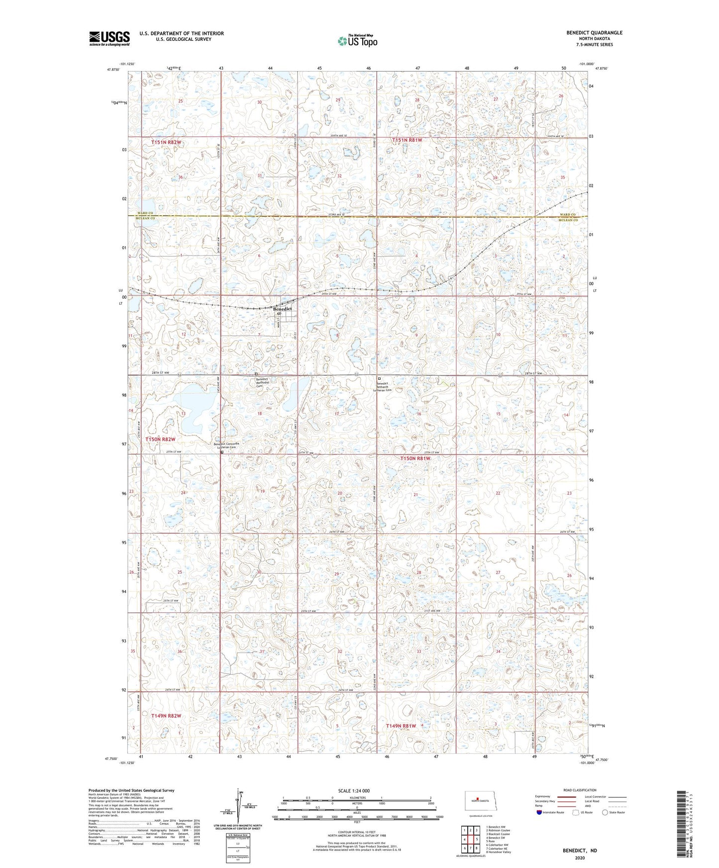
2024 topographic map quadrangle Benedict in the state of North Dakota. Scale: 1:24000. Based on the newly updated USGS 7.5' US Topo map series, this map is in the following counties: McLean, Ward. The map contains contour data, water features, and other items you are used to seeing on USGS maps, but also has updated roads and other features. This is the next generation of topographic maps. Printed on high-quality waterproof paper with UV fade-resistant inks.
Quads adjacent to this one:
West: Benedict SW
Northwest: Benedict NW
North: Robinson Coulee
Northeast: Blacktail Coulee
East: Ruso
Southeast: Horseshoe Valley
South: Coleharbor NE
Southwest: Coleharbor NW
This map covers the same area as the classic USGS quad with code o47101g1.
Contains the following named places: Benedict, Benedict Bethania Lutheran Cemetery, Benedict Concordia Lutheran Cemetery, Benedict Methodist Cemetery, Benedict Post Office, City of Benedict, McMann Lake, School Number 1, School Number 2, School Number 3, Township of Andrews, ZIP Code: 58716