MyTopo
Binford NE North Dakota US Topo Map
Couldn't load pickup availability
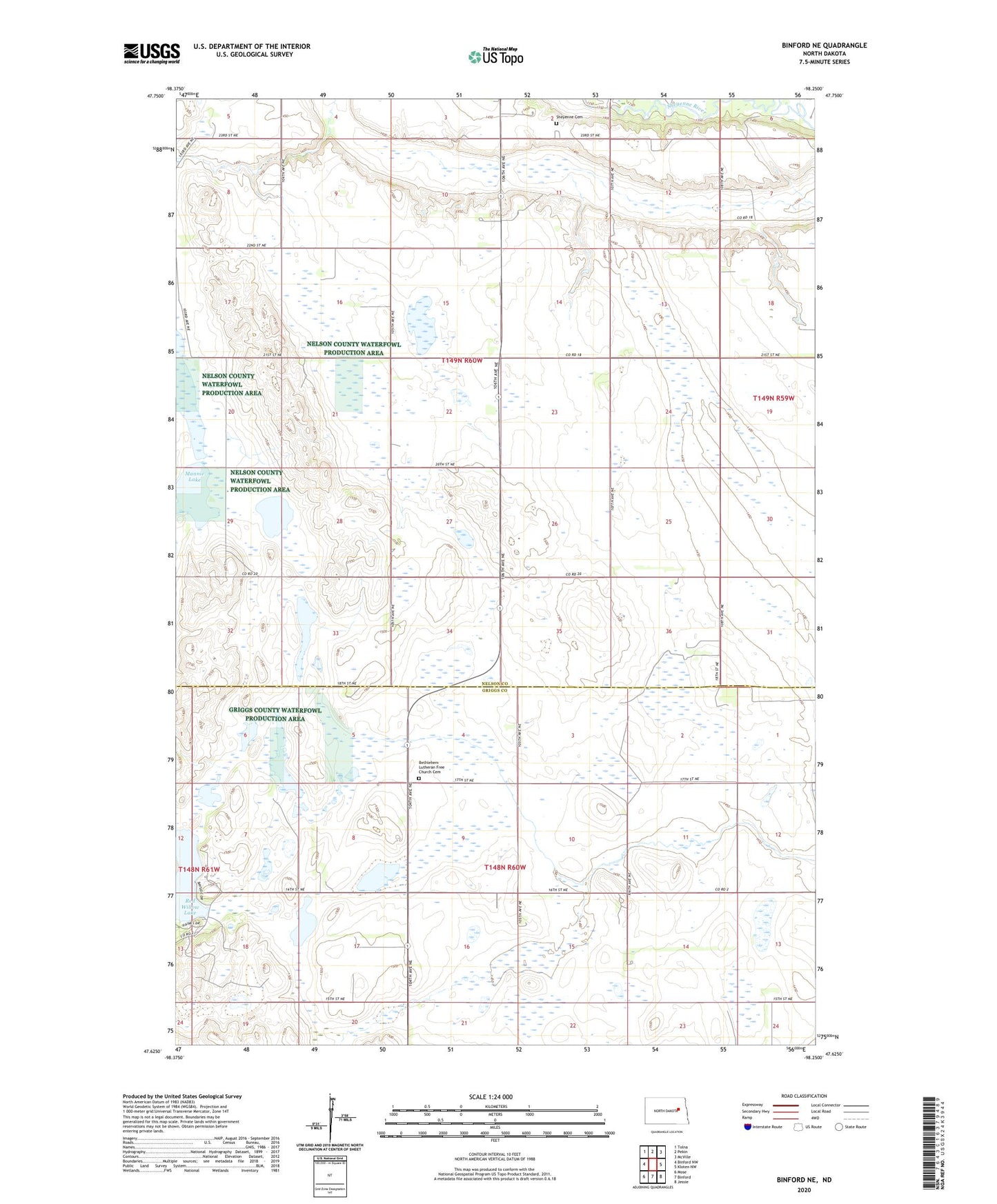
2024 topographic map quadrangle Binford NE in the state of North Dakota. Scale: 1:24000. Based on the newly updated USGS 7.5' US Topo map series, this map is in the following counties: Nelson, Griggs. The map contains contour data, water features, and other items you are used to seeing on USGS maps, but also has updated roads and other features. This is the next generation of topographic maps. Printed on high-quality waterproof paper with UV fade-resistant inks.
Quads adjacent to this one:
West: Binford NW
Northwest: Tolna
North: Pekin
Northeast: McVille
East: Kloten NW
Southeast: Jessie
South: Binford
Southwest: Mose
This map covers the same area as the classic USGS quad with code o47098f3.
Contains the following named places: Bethlehem Church, Bethlehem Lutheran Free Church Cemetery, Mannie Lake, Red Willow Camp, Red Willow Lake, Sheyenne Cemetery, Sheyenne Church, Silver Creek, Township of Bergen, Township of Bue, Township of Willow, Willow