MyTopo
Bowman SE North Dakota US Topo Map
Couldn't load pickup availability
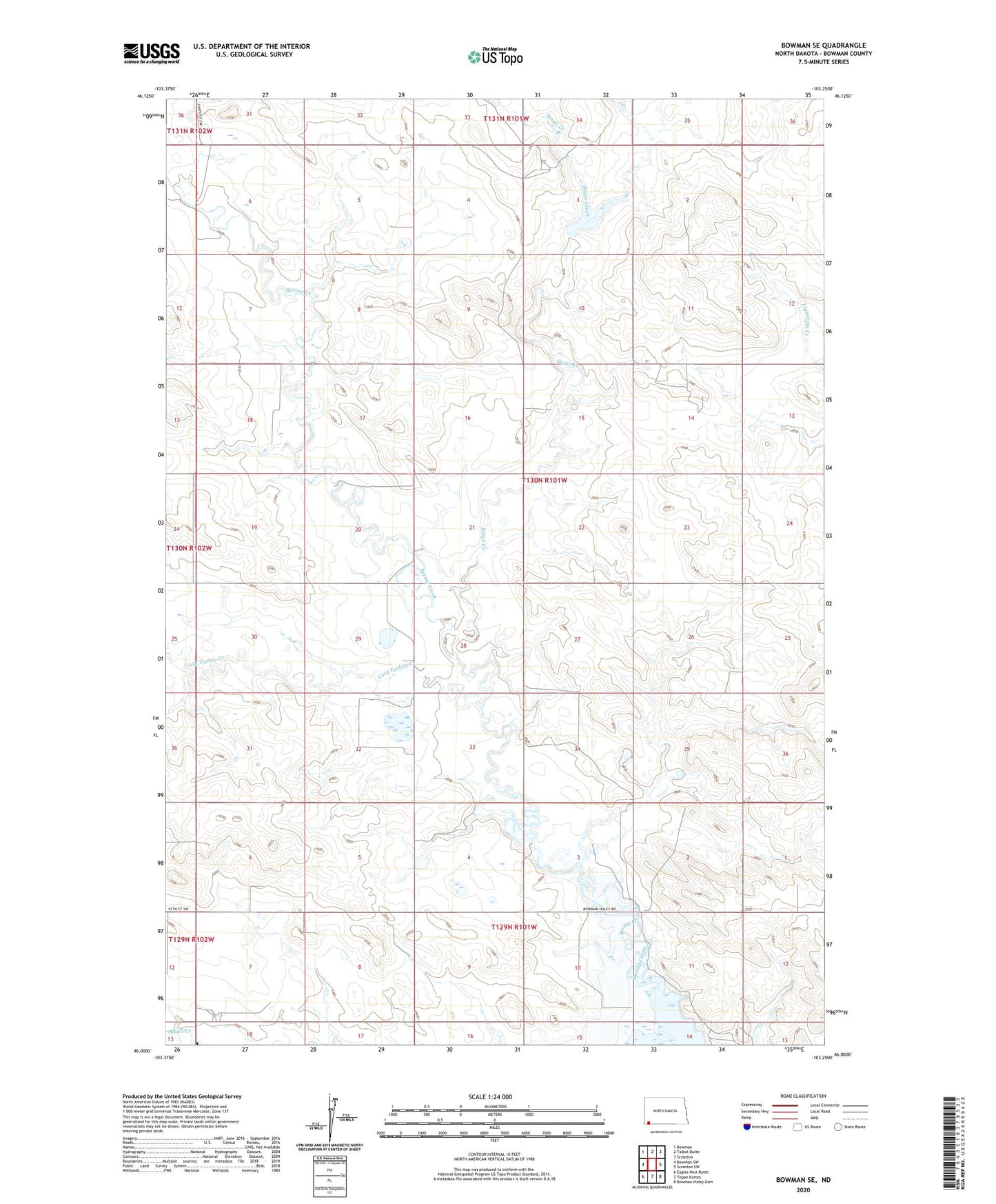
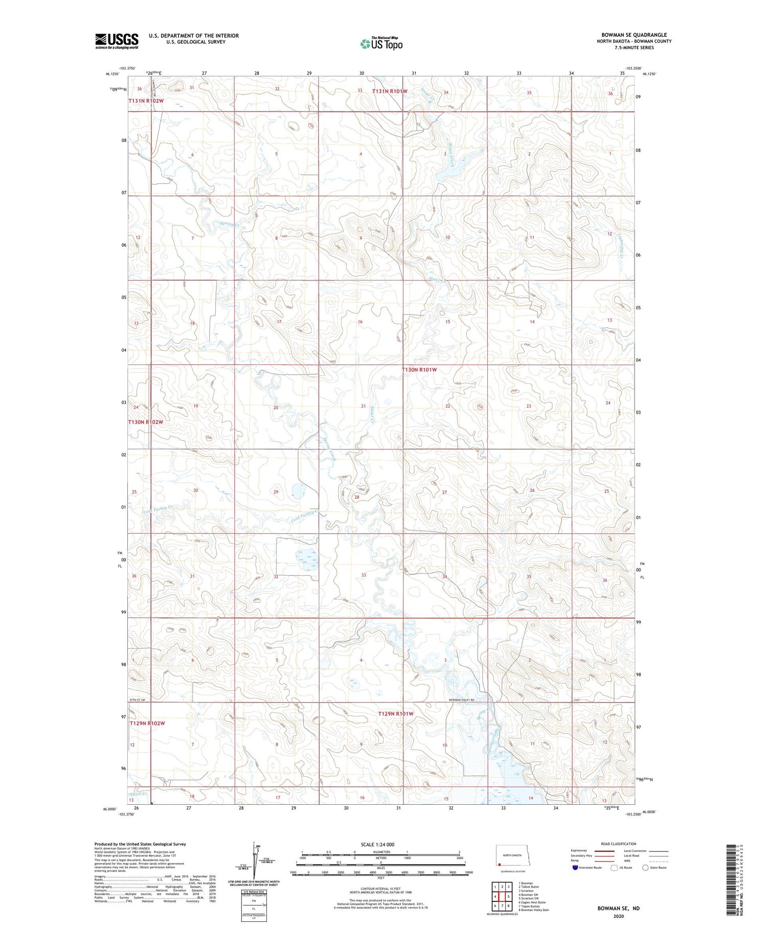
2020 topographic map quadrangle Bowman SE in the state of North Dakota. Scale: 1:24000. Based on the newly updated USGS 7.5' US Topo map series, this map is in the following counties: Bowman. The map contains contour data, water features, and other items you are used to seeing on USGS maps, but also has updated roads and other features. This is the next generation of topographic maps. Printed on high-quality waterproof paper with UV fade-resistant inks.
Quads adjacent to this one:
West: Bowman SW
Northwest: Bowman
North: Talbot Butte
Northeast: Scranton
East: Scranton SW
South: Tepee Buttes
Southwest: Eagles Nest Butte
Contains the following named places: Cold Turkey Creek, Eden School, Spring Creek, Stage Creek, Township of Boyesen