MyTopo
Cavalier NW North Dakota US Topo Map
Couldn't load pickup availability
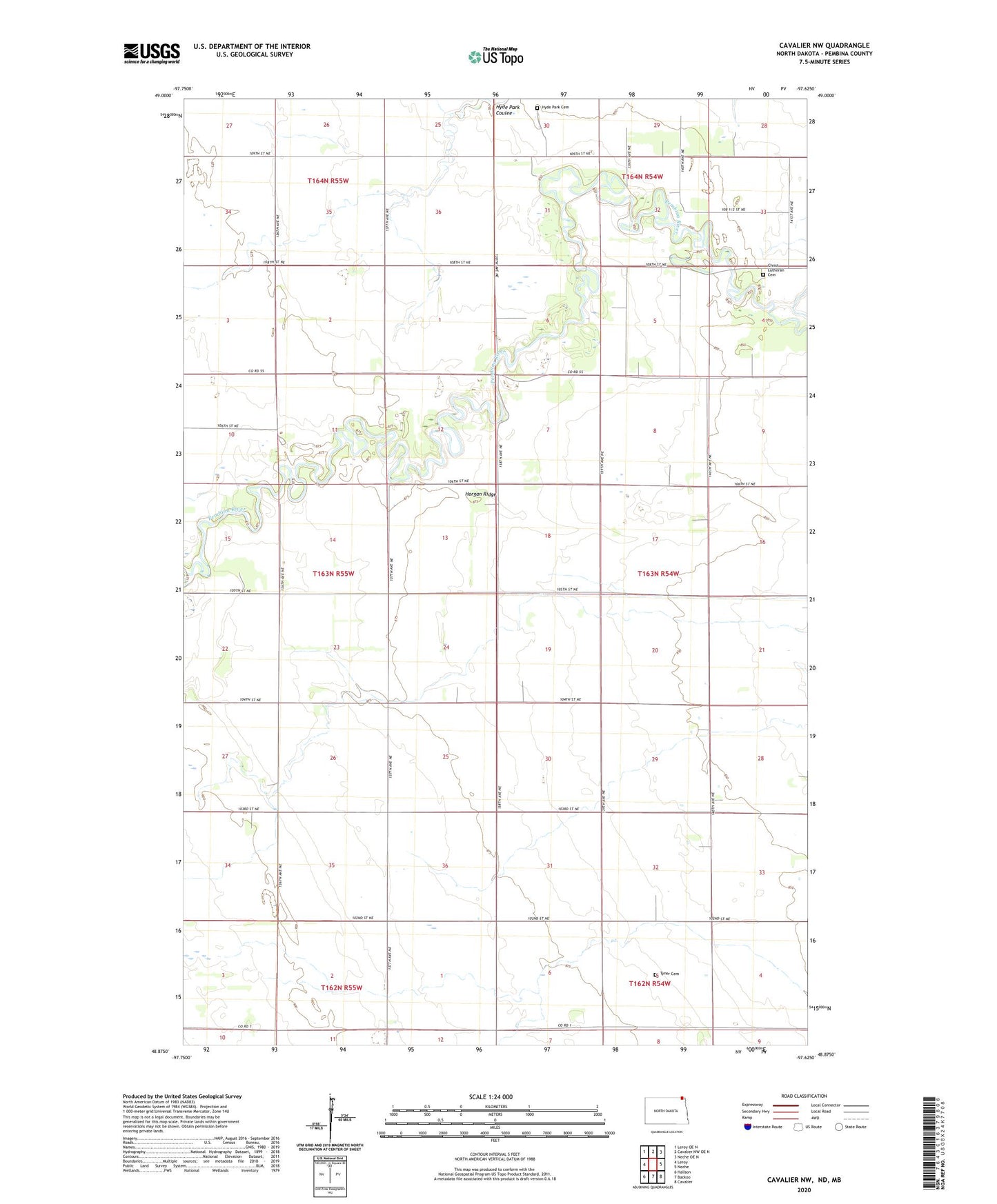
2024 topographic map quadrangle Cavalier NW in the state of North Dakota. Scale: 1:24000. Based on the newly updated USGS 7.5' US Topo map series, this map is in the following counties: Pembina. The map contains contour data, water features, and other items you are used to seeing on USGS maps, but also has updated roads and other features. This is the next generation of topographic maps. Printed on high-quality waterproof paper with UV fade-resistant inks.
Quads adjacent to this one:
West: Leroy
Northwest: Leroy OE N
North: Cavalier NW OE N
Northeast: Neche OE N
East: Neche
Southeast: Cavalier
South: Backoo
Southwest: Hallson
This map covers the same area as the classic USGS quad with code o48097h6.
Contains the following named places: Christ Lutheran Cemetery, Felson Town Hall, Horgan Ridge, Hyde Park Cemetery, McConnell, Park Center Church, Township of Saint Joseph, Tyner Cemetery