MyTopo
Coulee North Dakota US Topo Map
Couldn't load pickup availability
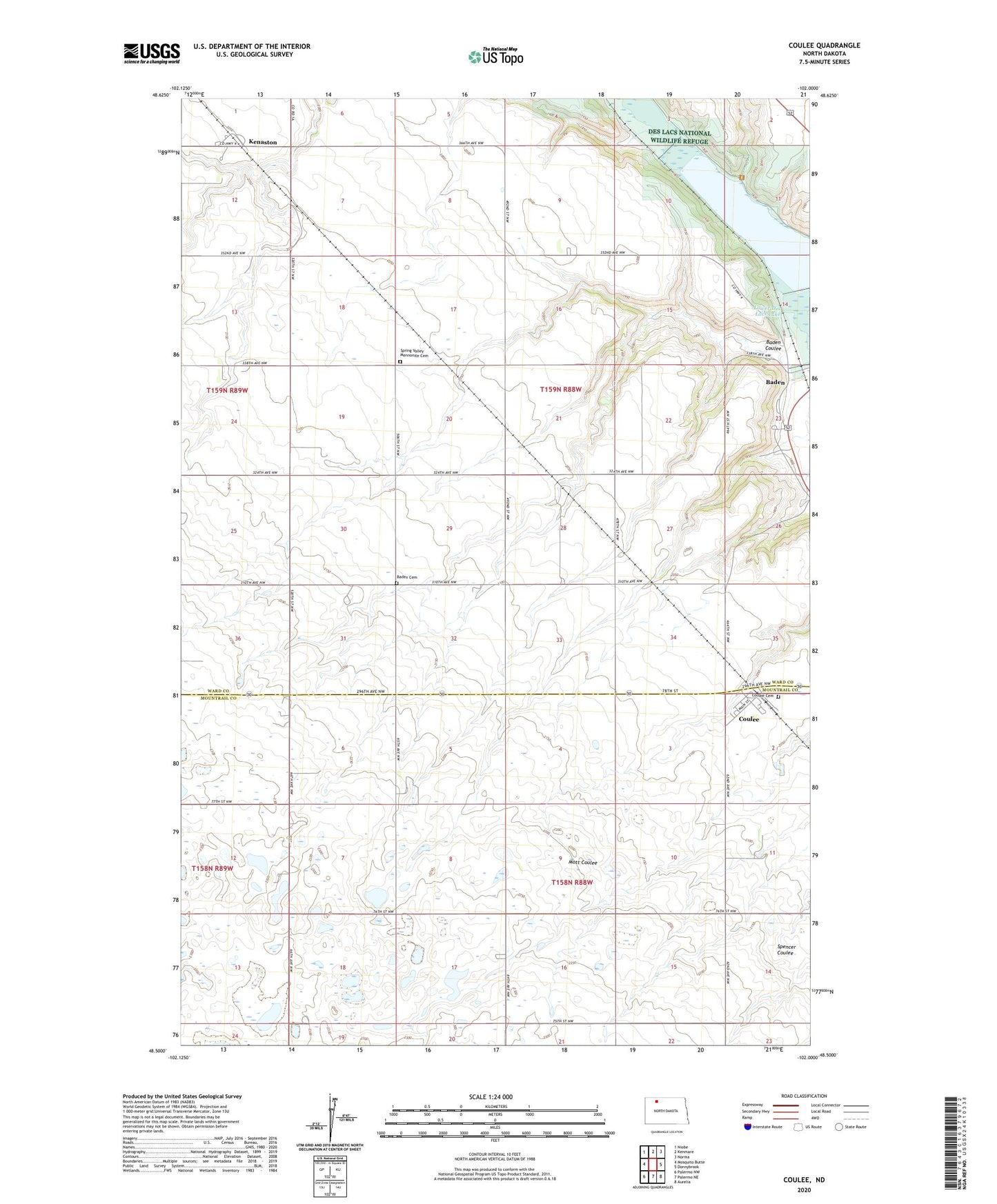
2024 topographic map quadrangle Coulee in the state of North Dakota. Scale: 1:24000. Based on the newly updated USGS 7.5' US Topo map series, this map is in the following counties: Ward, Mountrail. The map contains contour data, water features, and other items you are used to seeing on USGS maps, but also has updated roads and other features. This is the next generation of topographic maps. Printed on high-quality waterproof paper with UV fade-resistant inks.
Quads adjacent to this one:
West: Mosquito Butte
Northwest: Niobe
North: Kenmare
Northeast: Norma
East: Donnybrook
Southeast: Aurelia
South: Palermo NE
Southwest: Palermo NW
This map covers the same area as the classic USGS quad with code o48102e1.
Contains the following named places: Baden, Baden Cemetery, Baden Coulee, Coulee, Coulee Cemetery, Crowfoot School, Dam Number 6, Dam Number 7A, Kenaston, Lowland School, Nelson-Landers Dam, Pool Eight Reservoir, Pool Five Reservoir, School Number 2, School Number 3, School Number 4, Spring Valley Mennonite Cemetery, Township of Baden, Township of Lowland