MyTopo
De Lamere North Dakota US Topo Map
Couldn't load pickup availability
Also explore the De Lamere Forest Service Topo of this same quad for updated USFS data
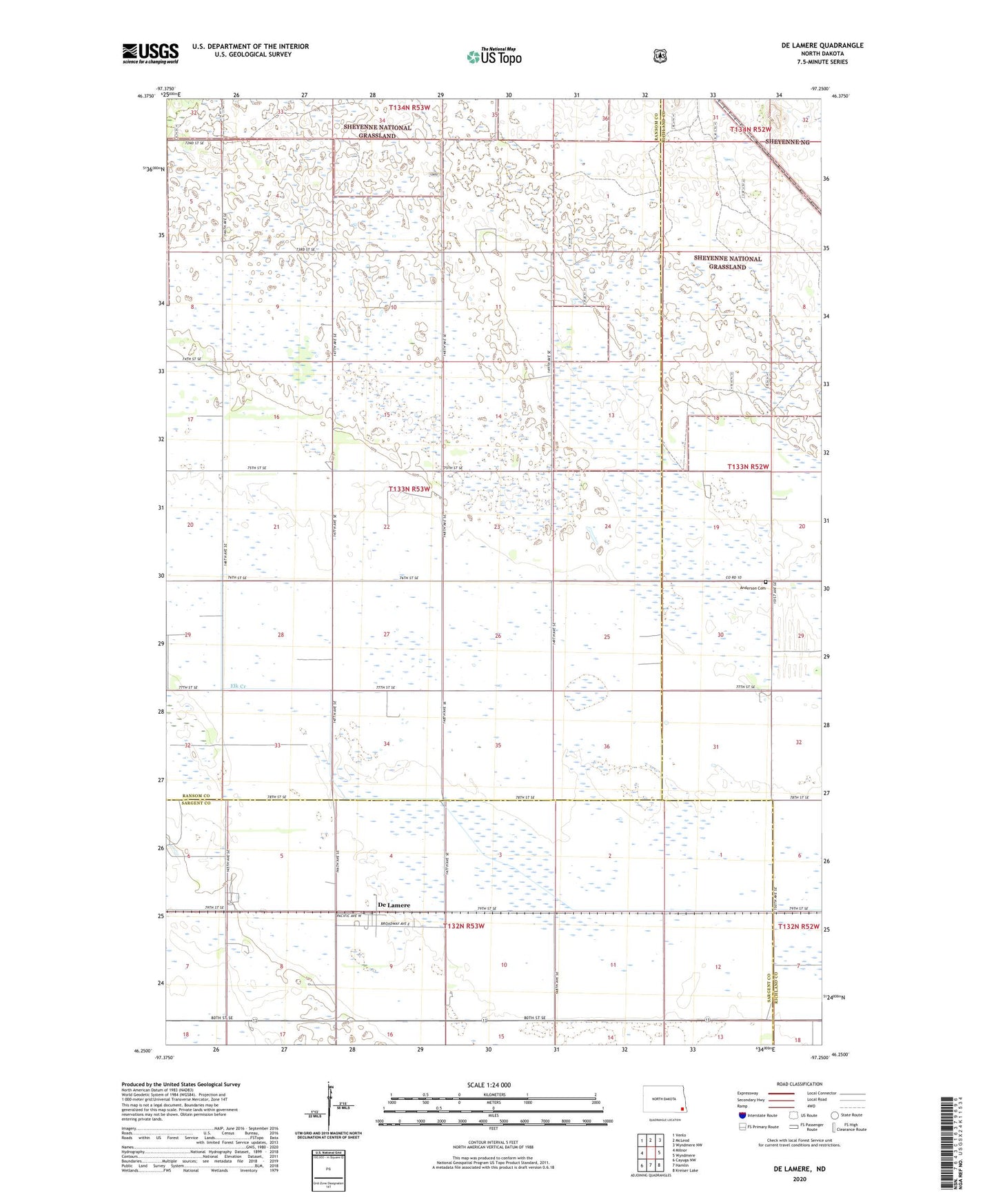
2024 topographic map quadrangle De Lamere in the state of North Dakota. Scale: 1:24000. Based on the newly updated USGS 7.5' US Topo map series, this map is in the following counties: Ransom, Sargent, Richland. The map contains contour data, water features, and other items you are used to seeing on USGS maps, but also has updated roads and other features. This is the next generation of topographic maps. Printed on high-quality waterproof paper with UV fade-resistant inks.
Quads adjacent to this one:
West: Milnor
Northwest: Venlo
North: McLeod
Northeast: Wyndmere NW
East: Wyndmere
Southeast: Kreiser Lake
South: Hamlin
Southwest: Cayuga NW
This map covers the same area as the classic USGS quad with code o46097c3.
Contains the following named places: Anderson Cemetery, De Lamere, De Lamere Census Designated Place, Rosemeade Town Hall, School Number 1, Township of Rosemeade, West End Town Hall