MyTopo
Denbigh North Dakota US Topo Map
Couldn't load pickup availability
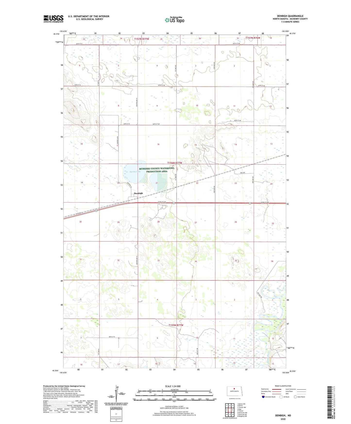
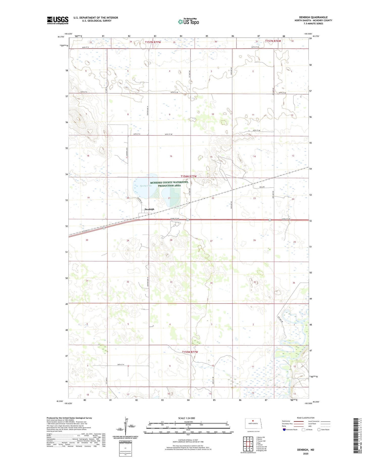
2020 topographic map quadrangle Denbigh in the state of North Dakota. Scale: 1:24000. Based on the newly updated USGS 7.5' US Topo map series, this map is in the following counties: McHenry. The map contains contour data, water features, and other items you are used to seeing on USGS maps, but also has updated roads and other features. This is the next generation of topographic maps. Printed on high-quality waterproof paper with UV fade-resistant inks.
Quads adjacent to this one:
West: Riga
Northwest: Bantry NW
North: Bantry
Northeast: Towner NW
East: Towner
Southeast: Rangeley NW
South: Karlsruhe NE
Southwest: Karlsruhe NW
Contains the following named places: Denbigh, Leach Ranch Landing Strip, Spring Lake, Township of Denbigh, Wintering School Number 1