MyTopo
Edinburg NW North Dakota US Topo Map
Couldn't load pickup availability
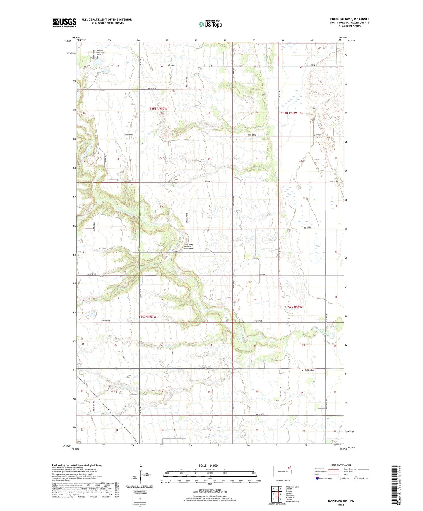
2024 topographic map quadrangle Edinburg NW in the state of North Dakota. Scale: 1:24000. Based on the newly updated USGS 7.5' US Topo map series, this map is in the following counties: Walsh. The map contains contour data, water features, and other items you are used to seeing on USGS maps, but also has updated roads and other features. This is the next generation of topographic maps. Printed on high-quality waterproof paper with UV fade-resistant inks.
Quads adjacent to this one:
West: Adams
Northwest: Waterloo Lake
North: Union
Northeast: Gardar
East: Edinburg
Southeast: Pleasant Valley
South: Lankin
Southwest: Adams SE
This map covers the same area as the classic USGS quad with code o48097d8.
Contains the following named places: Golden Cemetery, Golden Town Hall, Golden Valley Church, Middle Branch Park River 6 Dam, Odalen Church, Odalen Lutheran Cemetery, Saint Peter Church, Saint Peter Lutheran Church Cemetery, Silvista, Township of Tiber, Township of Vesta