MyTopo
Enderlin North North Dakota US Topo Map
Couldn't load pickup availability
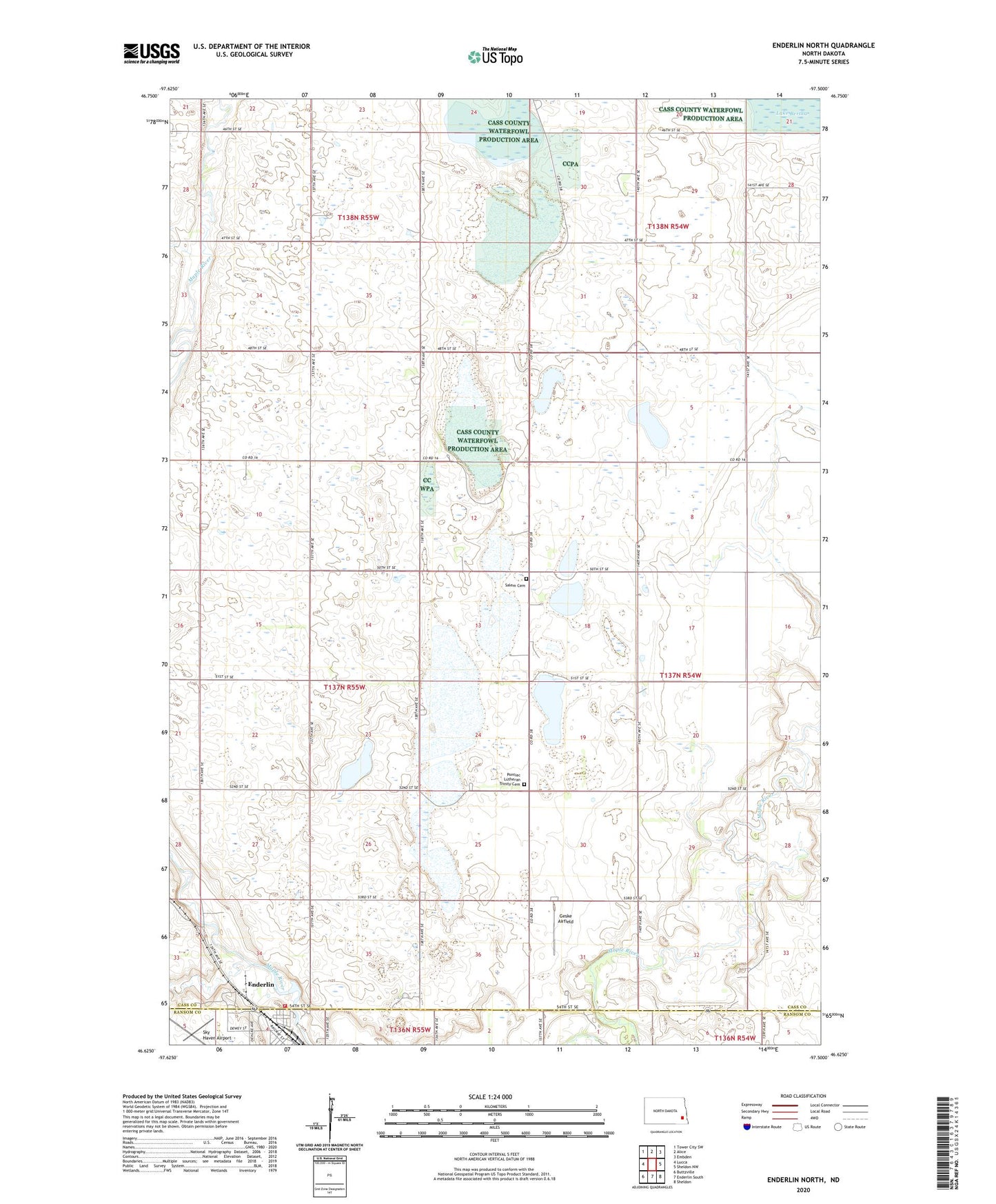
2024 topographic map quadrangle Enderlin North in the state of North Dakota. Scale: 1:24000. Based on the newly updated USGS 7.5' US Topo map series, this map is in the following counties: Cass, Ransom. The map contains contour data, water features, and other items you are used to seeing on USGS maps, but also has updated roads and other features. This is the next generation of topographic maps. Printed on high-quality waterproof paper with UV fade-resistant inks.
Quads adjacent to this one:
West: Lucca
Northwest: Tower City SW
North: Alice
Northeast: Embden
East: Sheldon NW
Southeast: Sheldon
South: Enderlin South
Southwest: Buttzville
This map covers the same area as the classic USGS quad with code o46097f5.
Contains the following named places: Clifton Town Hall, Enderlin Fire Protection District Station, Geske Airfield, Maryhill Manor, Patrick Pierce Park, Pontiac Lutheran Trinity Cemetery, Salem Cemetery, Sky Haven Airport, Township of Pontiac, ZIP Code: 58027