MyTopo
Fried North Dakota US Topo Map
Couldn't load pickup availability
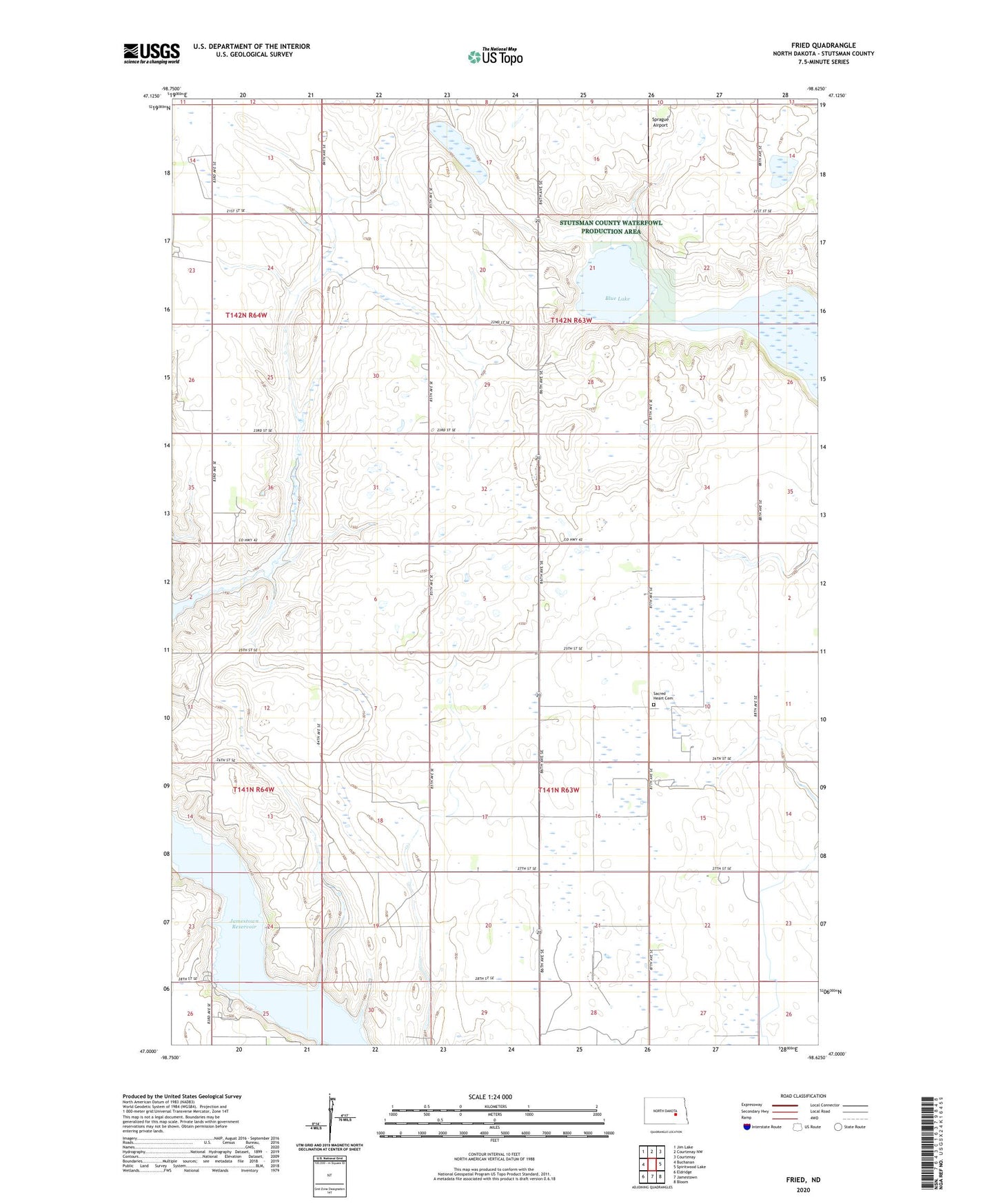
2024 topographic map quadrangle Fried in the state of North Dakota. Scale: 1:24000. Based on the newly updated USGS 7.5' US Topo map series, this map is in the following counties: Stutsman. The map contains contour data, water features, and other items you are used to seeing on USGS maps, but also has updated roads and other features. This is the next generation of topographic maps. Printed on high-quality waterproof paper with UV fade-resistant inks.
Quads adjacent to this one:
West: Buchanan
Northwest: Jim Lake
North: Courtenay NW
Northeast: Courtenay
East: Spiritwood Lake
Southeast: Bloom
South: Jamestown
Southwest: Eldridge
This map covers the same area as the classic USGS quad with code o47098a6.
Contains the following named places: Blue Lake, Fried, Jamestown Reservoir, Sacred Heart Cemetery, School Number 1, School Number 2, School Number 3, Sprague Airport, Township of Ashland, Township of Fried