MyTopo
Hatton SW North Dakota US Topo Map
Couldn't load pickup availability
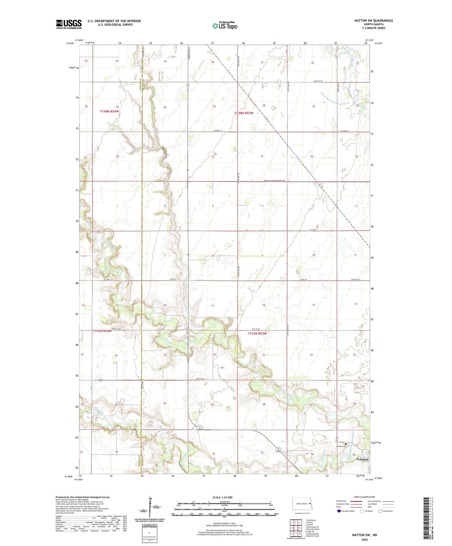
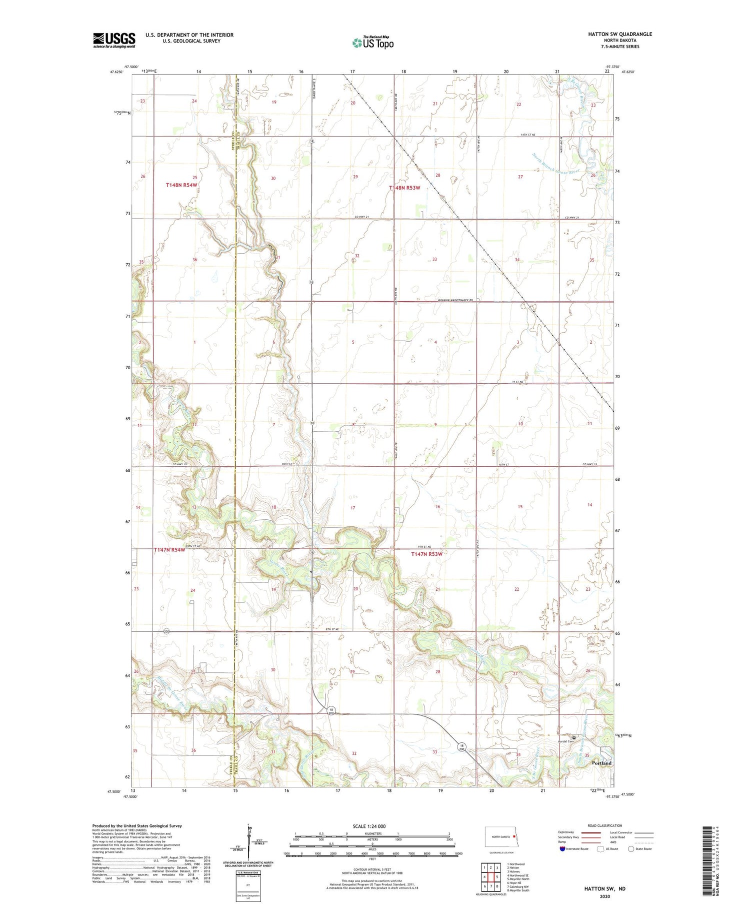
2020 topographic map quadrangle Hatton SW in the state of North Dakota. Scale: 1:24000. Based on the newly updated USGS 7.5' US Topo map series, this map is in the following counties: Traill, Steele. The map contains contour data, water features, and other items you are used to seeing on USGS maps, but also has updated roads and other features. This is the next generation of topographic maps. Printed on high-quality waterproof paper with UV fade-resistant inks.
Quads adjacent to this one:
West: Northwood SE
Northwest: Northwood
North: Hatton
Northeast: Holmes
East: Mayville North
Southeast: Mayville South
South: Galesburg NW
Southwest: Hope NE
Contains the following named places: Aurdal Cemetery, Beaver Creek, Middle Branch Goose River, Township of Viking