MyTopo
Mayville South North Dakota US Topo Map
Couldn't load pickup availability
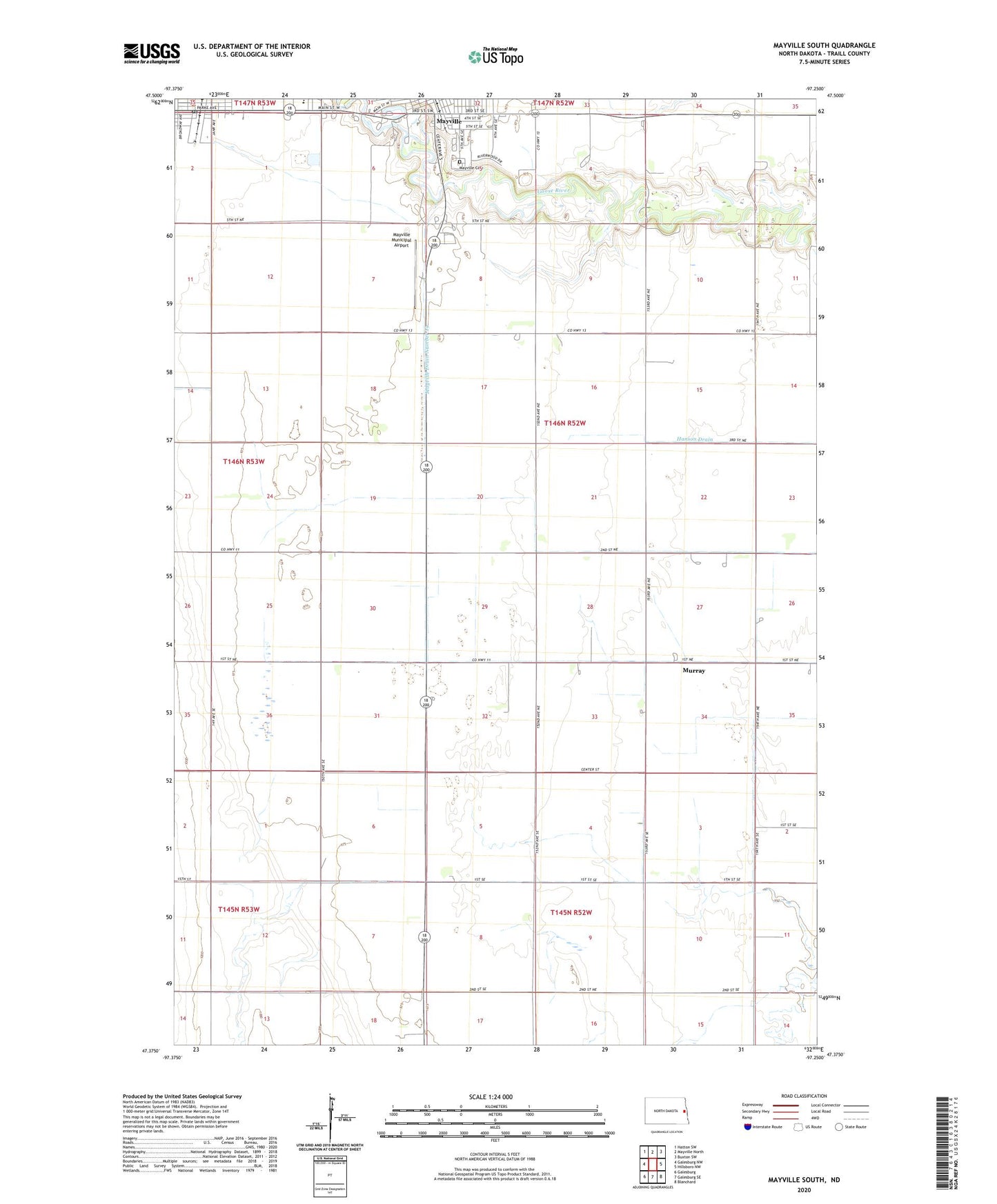
2024 topographic map quadrangle Mayville South in the state of North Dakota. Scale: 1:24000. Based on the newly updated USGS 7.5' US Topo map series, this map is in the following counties: Traill. The map contains contour data, water features, and other items you are used to seeing on USGS maps, but also has updated roads and other features. This is the next generation of topographic maps. Printed on high-quality waterproof paper with UV fade-resistant inks.
Quads adjacent to this one:
West: Galesburg NW
Northwest: Hatton SW
North: Mayville North
Northeast: Buxton SW
East: Hillsboro NW
Southeast: Blanchard
South: Galesburg SE
Southwest: Galesburg
This map covers the same area as the classic USGS quad with code o47097d3.
Contains the following named places: Blanchard Drain Number 23, City of Mayville, City of Portland, Drain Number 39, Island Park, KMAV-AM (Mayville), KMAV-FM (Mayville), May-Port CG Middle-High School, Mayville, Mayville Cemetery, Mayville Dam, Mayville Drain Number 19, Mayville Municipal Airport, Mayville Town Hall, Miller Drain Number 29, Murray, Murray Drain Number 17, Portland, Portland City Hall, Portland Post Office, Portland Rural Fire District, Township of Mayville, ZIP Code: 58257