MyTopo
Juniper Spur North Dakota US Topo Map
Couldn't load pickup availability
Also explore the Juniper Spur Forest Service Topo of this same quad for updated USFS data
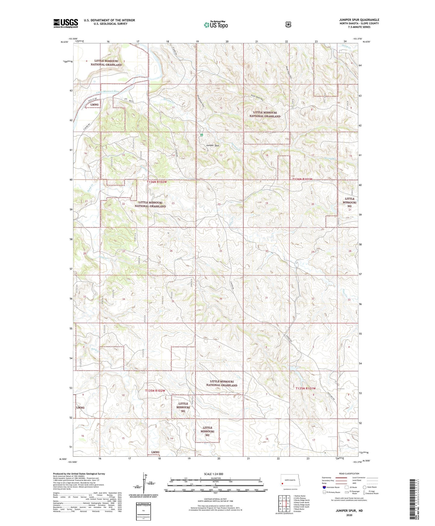
2024 topographic map quadrangle Juniper Spur in the state of North Dakota. Scale: 1:24000. Based on the newly updated USGS 7.5' US Topo map series, this map is in the following counties: Slope. The map contains contour data, water features, and other items you are used to seeing on USGS maps, but also has updated roads and other features. This is the next generation of topographic maps. Printed on high-quality waterproof paper with UV fade-resistant inks.
Quads adjacent to this one:
West: Deep Creek North
Northwest: Bullion Butte
North: Cliffs Plateau
Northeast: Rocky Ridge North
East: Rocky Ridge South
Southeast: Amidon
South: Black Butte
Southwest: Deep Creek South
This map covers the same area as the classic USGS quad with code o46103e4.
Contains the following named places: First Creek, Hamann Dam, Hamman Dam, Hayden Ranch, J J J Ranch, Juniper Spur, Last Buffalo Hunt in North Dakota Recreation Site, Second Creek