MyTopo
Sanborn SE North Dakota US Topo Map
Couldn't load pickup availability
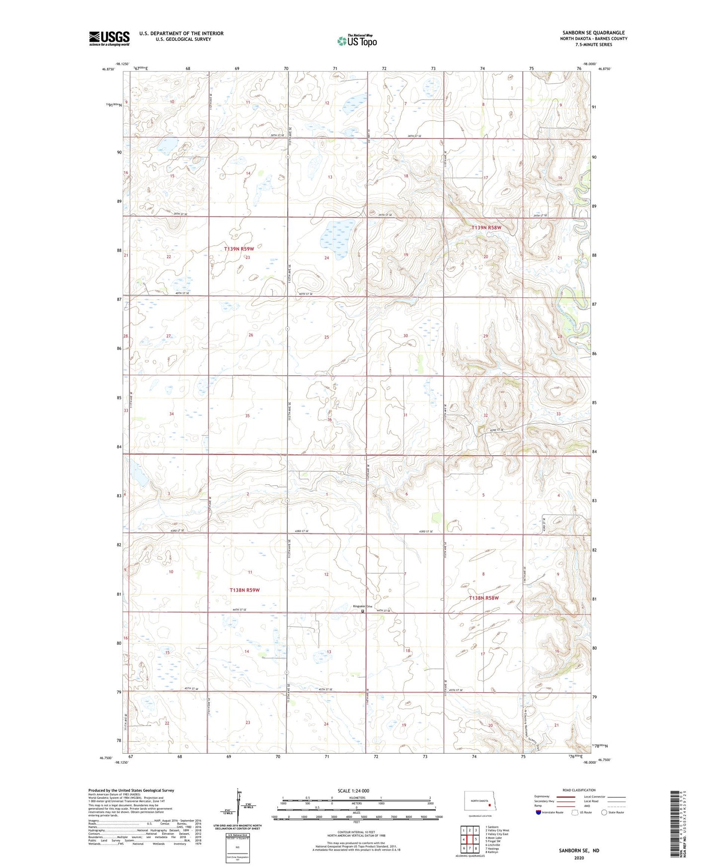
2024 topographic map quadrangle Sanborn SE in the state of North Dakota. Scale: 1:24000. Based on the newly updated USGS 7.5' US Topo map series, this map is in the following counties: Barnes. The map contains contour data, water features, and other items you are used to seeing on USGS maps, but also has updated roads and other features. This is the next generation of topographic maps. Printed on high-quality waterproof paper with UV fade-resistant inks.
Quads adjacent to this one:
West: Moon Lake
Northwest: Sanborn
North: Valley City West
Northeast: Valley City East
East: Fingal SW
Southeast: Kathryn
South: Hastings
Southwest: Litchville
This map covers the same area as the classic USGS quad with code o46098g1.
Contains the following named places: Berckerley Dam, Gragreen, Green School, Hansen Dam, Ringsaker Cemetery, Township of Green, Township of Skandia