MyTopo
Schmidt North Dakota US Topo Map
Couldn't load pickup availability
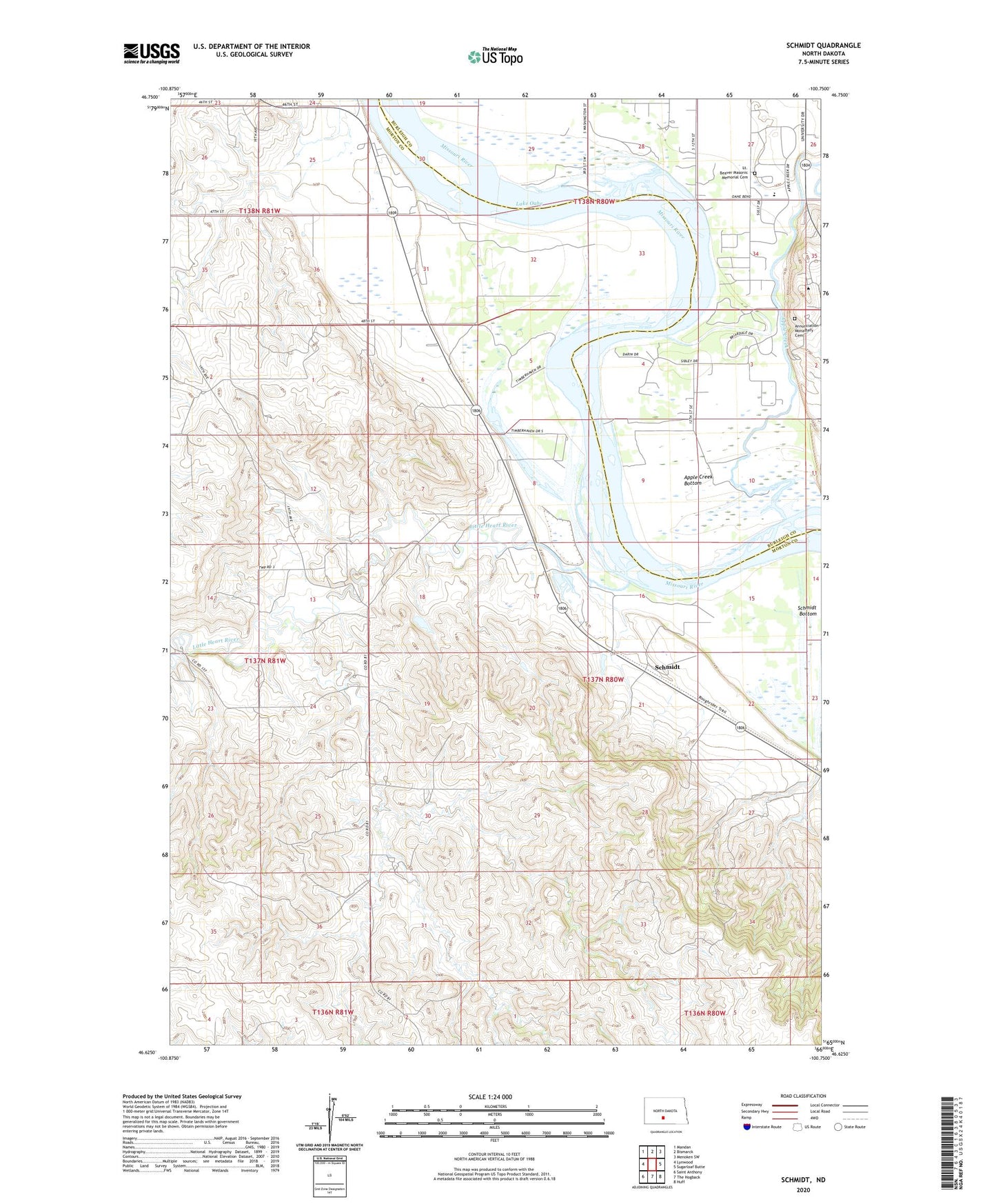
2024 topographic map quadrangle Schmidt in the state of North Dakota. Scale: 1:24000. Based on the newly updated USGS 7.5' US Topo map series, this map is in the following counties: Morton, Burleigh. The map contains contour data, water features, and other items you are used to seeing on USGS maps, but also has updated roads and other features. This is the next generation of topographic maps. Printed on high-quality waterproof paper with UV fade-resistant inks.
Quads adjacent to this one:
West: Lynwood
Northwest: Mandan
North: Bismarck
Northeast: Menoken SW
East: Sugarloaf Butte
Southeast: Huff
South: The Hogback
Southwest: Saint Anthony
This map covers the same area as the classic USGS quad with code o46100f7.
Contains the following named places: Annunciation Monastery Cemetery, Annunciation Priory, Apple Creek, Apple Creek Bottom, Arno Gustin Hall, Benedictine Center for Servant Leadership, Boniface Hall, Boyle Hall, Casey Center for Nursing Education, Clairmont Center, Deichert Hall, Gary Tharaldson School of Business, General Sibley Park Area, Greg Butler Hall, Harold J Miller Center, Harold Schafer Leadership Center, Hillside Hall, Leach Center for Student Life, Leach Field House, Little Heart Recreation Area, Little Heart River, Lt. Beaver Masonic Memorial Cemetery, McDowell Activity Center, North Campus Residence Hall, Prairie Rose Elementary School, Richard Tschider Center for Health Science, Saint Josephs Hall for Men, Schmidt, Schmidt Bottom, Sibley Island, Sibley Nature Park, University Hall, University of Mary, Unorganized Territory of Bismarck, Unorganized Territory of Lincoln-Fort Rice, Welder Library


