MyTopo
Spring Brook North Dakota US Topo Map
Couldn't load pickup availability
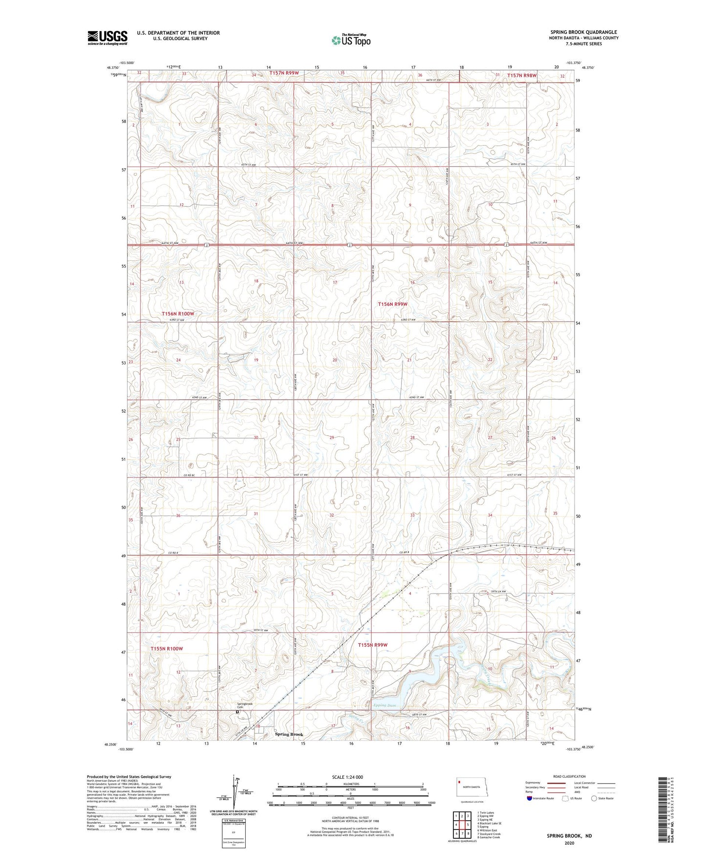
2024 topographic map quadrangle Spring Brook in the state of North Dakota. Scale: 1:24000. Based on the newly updated USGS 7.5' US Topo map series, this map is in the following counties: Williams. The map contains contour data, water features, and other items you are used to seeing on USGS maps, but also has updated roads and other features. This is the next generation of topographic maps. Printed on high-quality waterproof paper with UV fade-resistant inks.
Quads adjacent to this one:
West: Blacktail Lake SE
Northwest: Twin Lakes
North: Epping NW
Northeast: Epping NE
East: Epping
Southeast: Gamache Creek
South: Stockyard Creek
Southwest: Williston East
This map covers the same area as the classic USGS quad with code o48103c4.
Contains the following named places: City of Springbrook, Epping Dam, Spring Brook, Springbrook Cemetery, Township of Marshall, Upper Missouri Bible Camp, Williams County