MyTopo
Woodworth North Dakota US Topo Map
Couldn't load pickup availability
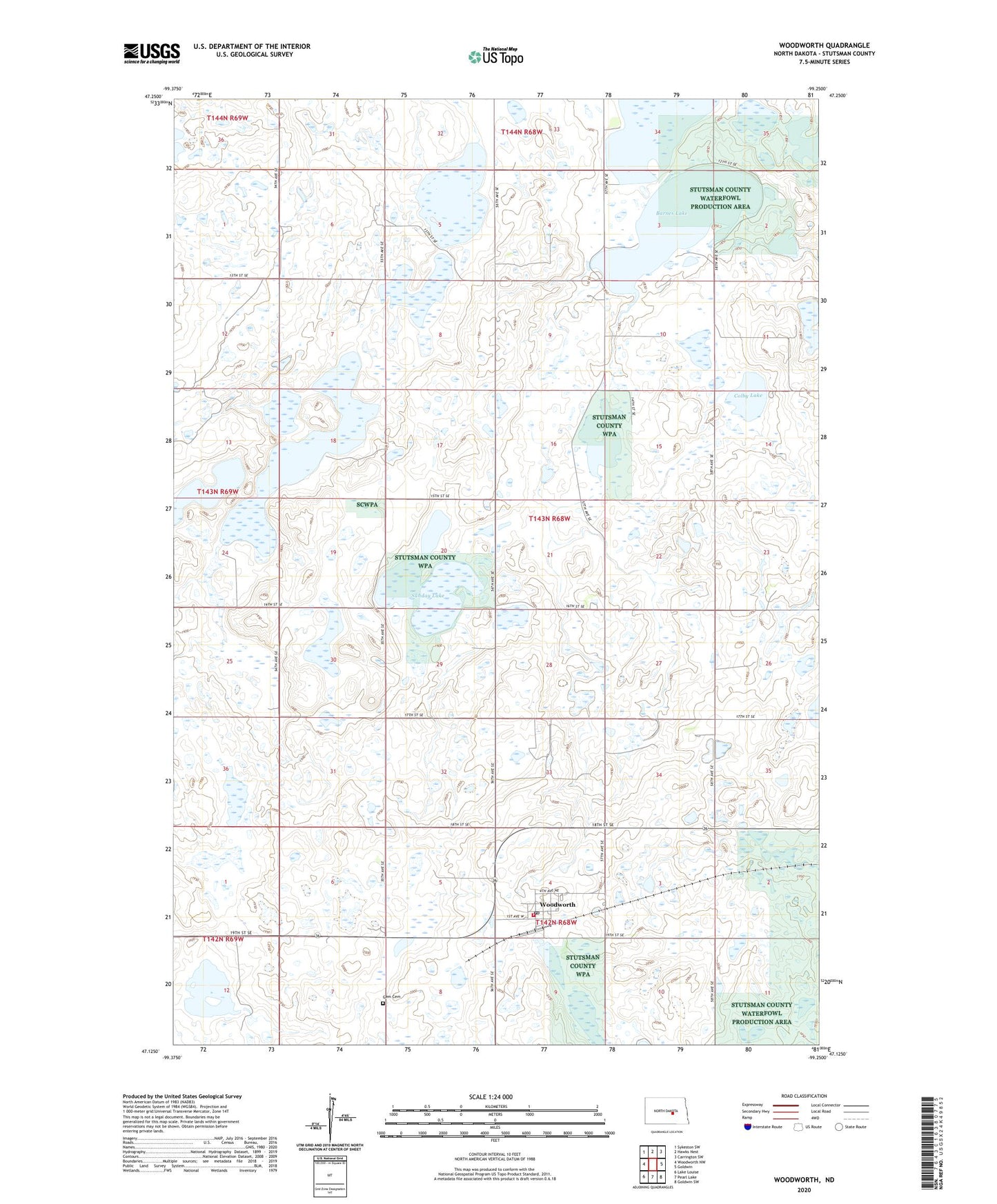
2024 topographic map quadrangle Woodworth in the state of North Dakota. Scale: 1:24000. Based on the newly updated USGS 7.5' US Topo map series, this map is in the following counties: Stutsman. The map contains contour data, water features, and other items you are used to seeing on USGS maps, but also has updated roads and other features. This is the next generation of topographic maps. Printed on high-quality waterproof paper with UV fade-resistant inks.
Quads adjacent to this one:
West: Woodworth NW
Northwest: Sykeston SW
North: Hawks Nest
Northeast: Carrington SW
East: Goldwin
Southeast: Goldwin SW
South: Pearl Lake
Southwest: Lake Louise
This map covers the same area as the classic USGS quad with code o47099b3.
Contains the following named places: Barnes Lake, City of Woodworth, Colby Lake, Gem Cemetery, Meander Lake, Melzer Museum, Sunday Lake, Township of Wadsworth, Woodworth, Woodworth Fire Station, Woodworth Post Office, ZIP Code: 58496