MyTopo
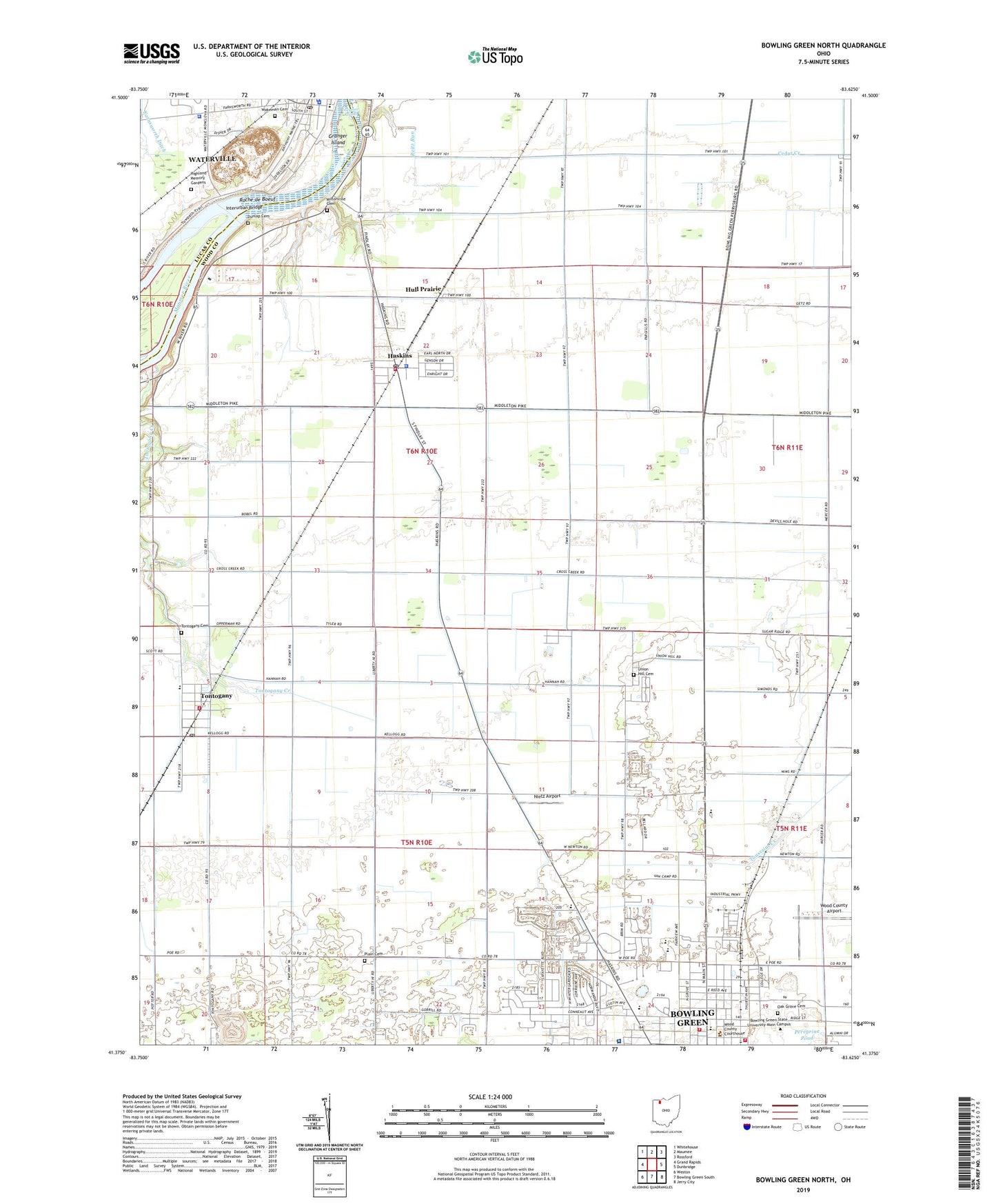
Bowling Green North Ohio US Topo Map
Couldn't load pickup availability
2023 topographic map quadrangle Bowling Green North in the state of Ohio. Scale: 1:24000. Based on the newly updated USGS 7.5' US Topo map series, this map is in the following counties: Wood, Lucas. The map contains contour data, water features, and other items you are used to seeing on USGS maps, but also has updated roads and other features. This is the next generation of topographic maps. Printed on high-quality waterproof paper with UV fade-resistant inks.
Quads adjacent to this one:
West: Grand Rapids
Northwest: Whitehouse
North: Maumee
Northeast: Rossford
East: Dunbridge
Southeast: Jerry City
South: Bowling Green South
Southwest: Weston
This map covers the same area as the classic USGS quad with code o41083d6.
Contains the following named places: Anderson Arena, Anderson Hall, Asbury Hills, Ashley Hall, Avery Air Service Airport, Batchelder Hall, Bee Gee Shopping Center, Bostdorff Greenhouse Acres, Bowling Green Division of Fire Station 1, Bowling Green High School, Bowling Green Junior High School, Bowling Green State University, Bowling Green Water Treatment Plant, Bromfield Hall, Central Church of Christ, Chapman Hall, City of Bowling Green, Cochrane Field, Compton Hall, Conklin Airport, Conklin Hall, Conneaut Elementary School, Country Manor Estates, Darrow Hall, Dunbar Hall, Dunlap Cemetery, Eppler Hall, Eva Marie Saint Theatre, Farnsworth Metropark, Fine Arts Center, First Presbyterian Church, Founders Quadrangle, Fuller Preserve, Gish Film Theater, Granger Island, Grave Island, Hanna Hall, Harshman Quadrangle, Haskins, Haskins Elementary School, Haskins Police Department, Haskins Post Office, Hayes Hall, Highland Memory Gardens, Hull Prairie, Hulls Prairie, Interurban Bridge, Jerome Library, Johnston Hall, Keefe Tennis Courts, Kreischer Quadrangle, Maple Hill Mobile Home Park, Maurers Mobile Home Court, McDonald Hall, McFall Center, Memorial Hall, Middleton Township Emergency Medical Services, Middleton Township Fire Department, Middleton Township House, Mileti Alumni Center, Miltonville, Miltonville Cemetery, Missionary Island, Missionary Island State Wildlife Area, Moore Musical Arts Center, Moseley Hall, Nietz Airport, Northridge Estates, Oak Grove Cemetery, Offenhauer Tower, Ohio State Highway Patrol - Bowling Green Patrol Post, Old Oak Grove Cemetery, Olscamp Hall, Otsego High School, Overman Hall, Park View Mobile Home Village, Peregrine Pond, Plain Cemetery, Plain Church, Plain Township House, Pray Park, Prout Chapel, Prout Hall, Quail Hollow, Reitz Run, Ridge Elementary School, Riverby Hills Golf Course, Riverdale, Roche de Boeuf, Rodgers Quadrangle, Shatzel Hall, Steller Field, Sterling Farm, Stitt Park, The Village, Tontogany, Tontogany Cemetery, Tontogany Creek, Tontogany Post Office, Township of Middleton, Township of Plain, Trinity United Methodist Church, Union Hill Cemetery, University Hall, Village of Haskins, Village of Tontogany, Wakeman Cemetery, Washington Township Fire Department, Waterville Elementary School, Waterville Police Department, Waterville Post Office, Waterville Township Police Department, Waterworks Park, WBGU-FM (Bowling Green), West Hall, Williams Hall, Wood County Airport, Wood County Courthouse, Wood County Fairgrounds, Wood County Hospital, Wood County Landfill, Wood County Law Library, Wood County Public Library, Woodland Mall Shopping Center, WRQN-FM (Bowling Green), Zion Lutheran Church, ZIP Codes: 43402, 43403, 43525, 43565


