MyTopo
Maumee Ohio US Topo Map
Couldn't load pickup availability
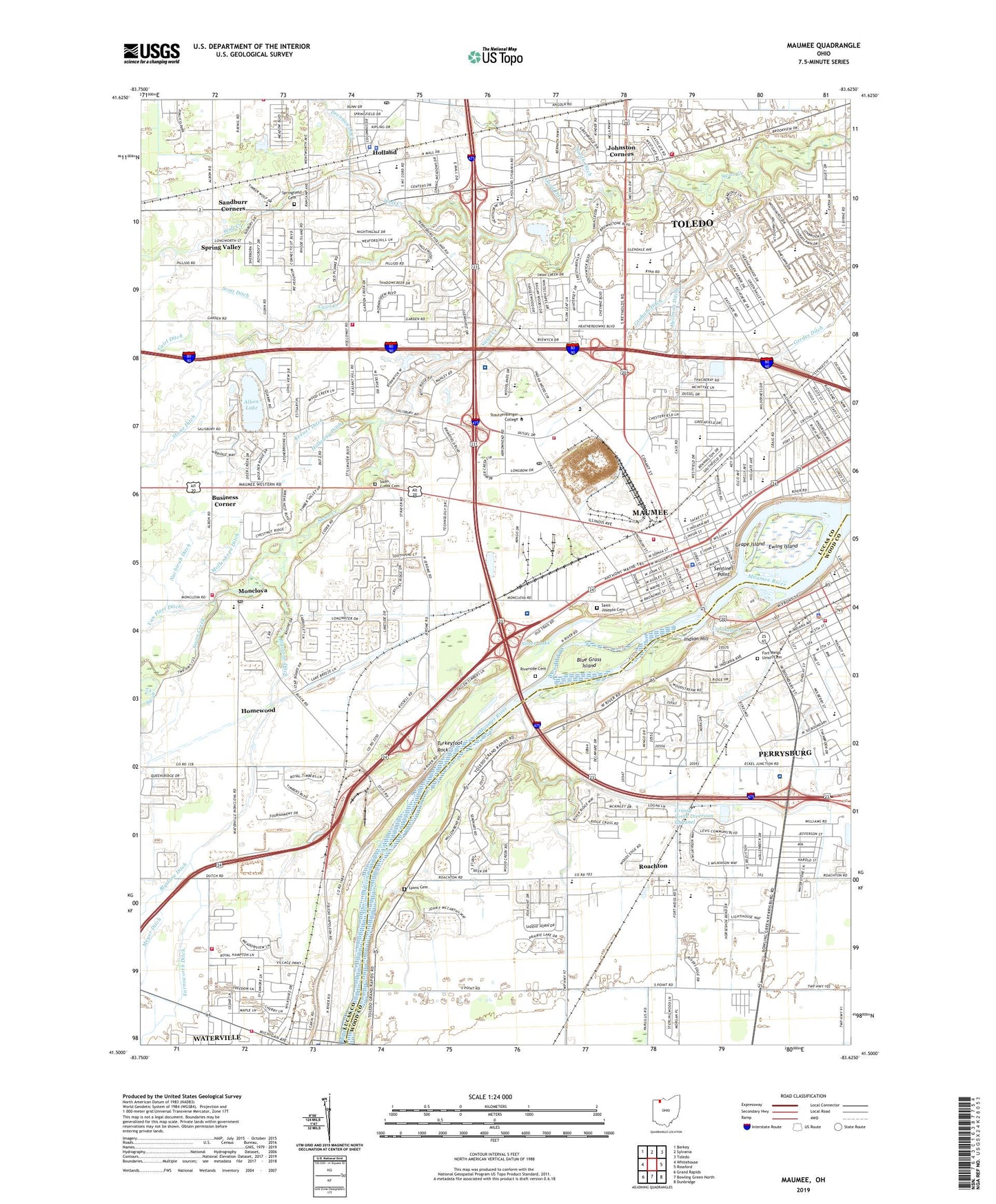
2023 topographic map quadrangle Maumee in the state of Ohio. Scale: 1:24000. Based on the newly updated USGS 7.5' US Topo map series, this map is in the following counties: Lucas, Wood. The map contains contour data, water features, and other items you are used to seeing on USGS maps, but also has updated roads and other features. This is the next generation of topographic maps. Printed on high-quality waterproof paper with UV fade-resistant inks.
Quads adjacent to this one:
West: Whitehouse
Northwest: Berkey
North: Sylvania
Northeast: Toledo
East: Rossford
Southeast: Dunbridge
South: Bowling Green North
Southwest: Grand Rapids
This map covers the same area as the classic USGS quad with code o41083e6.
Contains the following named places: Albon Lake, All Saints Lutheran Church, Arrow Head Industrial Park, Arrowhead Behavioral Health, Arrowhead Behavioral Health Treatment Facility, Audubon Islands Nature Preserve, Baer Park, Bethel Baptist Church, Bicentennial Park, Blue Grass Island, Brandywine Country Club, Brig Niagara Commerce Park, Brownstone Plaza Shopping Center, Business Corner, Buttonwood-Betty C Black Recreation Area, Byrnedale Elementary School, Cairl Creek, Calvary Assembly of God Church, Carrington Woods, Chesterfield Plaza Shopping Center, Church of the Cross United Methodist Church, City of Maumee, City of Perrysburg, City of Waterville, Colonial Village Shopping Center, Conrad Park, Crandenbrook, Crooked Creek, Crossgates Head Start School, Crosstrails Shopping Center, D'Arcy Estates, Dices Personal Heliport, Dimensions Plaza Shopping Center, Divine Word Seminary, Ewing Island, Fairfield Elementary School, Faith United Church of Christ, Fallen Timbers State Memorial, Farnsworth Ditch, First Church of Christ Scientist, First Presbyterian Church of Maumee, First United Methodist Church of Perrysburg, Fort Meigs Commerce Park, Fort Meigs Elementary School, Fort Meigs Place, Fort Meigs State Memorial, Fort Meigs Union Cemetery, Fort Miami, Fort Miamis State Memorial, Fourty four Plaza Shopping Center, Frank Elementary School, Gateway Middle School, Gerdes Ditch, Glenbyrne Center, Glendale - Feilbach Elementary School, Glendale Gardens Shopping Center, Glendale Marketplace Shopping Center, Glendale Presbyterian Church, Golden Gate Shopping Center, Good Ditch, Graham Ditch, Grape Island, Grassy Creek Diversion Channel, Greenridge Plaza Shopping Center, Heather Downs Country Club, Heatherdowns Church of the Brethren, Heatherdowns Plaza Shopping Center, Heatherdowns Shopping Center, Heatherdowns Village Shopping Center, Heatherview Plaza Shopping Center, Heilman Ditch, Holland, Holland Elementary School, Holland Police Department, Holland Post Office, Holloway Ditch, Holy Spirit Seminary, Homewood, Hood Park, Hulls Crossing, Indian Hill, Indian Meadows, Johnston Corners, Keener Ditch, Kettle Run, Laurel Hill Swim and Tennis Club, Levis Industrial Park, Long Ditch, Lucas County Emergency Medical Services - Life Squad 7, Lucas County Fairgrounds, Lucas County Recreation Center, Lyons Cemetery, MacQueen Orchards, Maple Street Landing, Maumee, Maumee Bible Church, Maumee Branch Library, Maumee Christian Academy, Maumee Fire Division Station 1, Maumee Fire Division Station 2, Maumee High School, Maumee Historic District, Maumee Marketplace Shopping Center, Maumee Police Department, Maumee Post Office, Maumee Quarry, Maumee Rapids, Maumee River Wastewater Treatment Plant, Maumee Sidecut, Maumee United Methodist Church, Maumee Uptown Historic District, Maumee Valley School, McKinley Woods, Medcorp Emergency Medical Services, Meigs on the River, Meyer Ditch, Mollenkope Ditch, Monclova, Monclova Elementary School, Monclova Post Office, Monclova Township Fire and Rescue Department, Nachtrab Ditch, Old Towne Shopping Center, Orleans Park, Perrys Junction Shopping Center, Perrys Landing Shopping Center, Perrysburg, Perrysburg City Hall, Perrysburg Fire Division, Perrysburg Heights, Perrysburg Historic District, Perrysburg Junior High School, Perrysburg Police Division, Perrysburg Township Fire Department and Emergency Medical Services - Station 2, Pillars Shopping Center, Presque Isle, Presque Isle Post Office, Reynolds Elementary School, Reynolds Plaza Shopping Center, River Place Shopping Center, Rivercrest, Rivercrest Park, Riverford, Riverside Cemetery, Riverside Park, Riverview Christian Church, Roachton, Saint Andrew United Methodist Church, Saint Joan of Arc Catholic Church, Saint Joan of Arc School, Saint John's Jesuit High School and Academy, Saint Joseph Catholic School, Saint Josephs Catholic Church, Saint Josephs Cemetery, Saint Luke's Hospital, Saint Lukes Hospital Heliport, Saint Patricks Catholic Church, Saint Pauls Episcopal Church, Saint Pauls Evangelical Lutheran Church, Saint Rose Catholic Church, Saint Rose School, Sandburr Corners, Scott Ditch, Sentinel Point, Side Cut Metropark, Silver Lake, Smith Ditch, South Village Square Shopping Center, Southpoint Business Park, Southview Estates Mobile Home Park, Southwest Alliance Church, Southwyck Meadows Shopping Center, Southwyck Shopping Center, Spring Meadows Place Shopping Center, Spring Valley, Springfield Cemetery, Springfield Chapel, Springfield High School, Springfield Junior High School, Springfield Township Fire Department Station 3, Springfield Township Office, Springvalley Shops Shopping Center, Swan Creek Cemetery, Swan Creek Church, Swan Creek Plaza Shopping Center, Swan Creek Preserve Metropark, The Church of Jesus Christ of Latter Day Saints, The Estates of Fort Meigs, Toledo Christian School, Toledo Fire and Rescue Department Station 11, Topps Shopping Center, Township of Roche de Boeuf, Township of Springfield, Towpath Park, Towpath Village Shopping Center, Trinity Lutheran Church, Trinity Lutheran School, Turkeyfoot Rock, Union Elementary School, Union School, Village of Holland, Waterville, Waterville Commercial Historic District, Waterville Fire Department, Waterville United Methodist Church, Way Public Library, Wayne Trail Elementary School, Welded Heliport, Whidden Ditch, Willowbend, Wolf Creek, ZIP Codes: 43537, 43614


