MyTopo
Brinkhaven Ohio US Topo Map
Couldn't load pickup availability
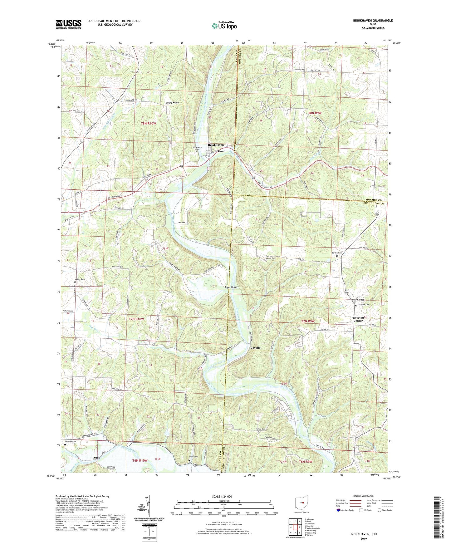
2023 topographic map quadrangle Brinkhaven in the state of Ohio. Scale: 1:24000. Based on the newly updated USGS 7.5' US Topo map series, this map is in the following counties: Knox, Coshocton, Holmes. The map contains contour data, water features, and other items you are used to seeing on USGS maps, but also has updated roads and other features. This is the next generation of topographic maps. Printed on high-quality waterproof paper with UV fade-resistant inks.
Quads adjacent to this one:
West: Danville
Northwest: Jelloway
North: Greer
Northeast: Glenmont
East: Spring Mountain
Southeast: Warsaw
South: Walhonding
Southwest: Martinsburg
This map covers the same area as the classic USGS quad with code o40082d2.
Contains the following named places: Baddow Pass, Baddow Pass Post Office, Bald Hill School, Borden Cemetery, Brinkhaven, Brinkhaven Cemetery, Brinkhaven Post Office, Brush Run, Camp Mohaven Landing Strip, Cavallo, Church of Christ, City of Gann, Elm Farm, Flat Run, Flat Run School, Hollister Cemetery, Hollisters, House School, Hunter School, Jelloway Valley Farm, McKee Cemetery, Mohican River Wildlife Area, Negro Run, Negro Run School, Oak Hill, Oakhill School, Pilgrim Hills Camp, Pleasant Valley School, Riley Cemetery, Riley Chapel, School Number 2, School Number 7, Seven Spring Farm, Spoon River, Tager Valley, Tager Valley School, Tiverton Baptist Cemetery, Tiverton Cemetery, Tiverton Center, Tiverton Church, Tiverton Post Office, Township of Tiverton, Township of Union, Turkey Ridge, Turkey Ridge School, Umbria, Village of Gann (Brinkhaven), Yankee Ridge, Zuck, Zuck Post Office, ZIP Code: 43006


