MyTopo
Buena Vista Ohio US Topo Map
Couldn't load pickup availability
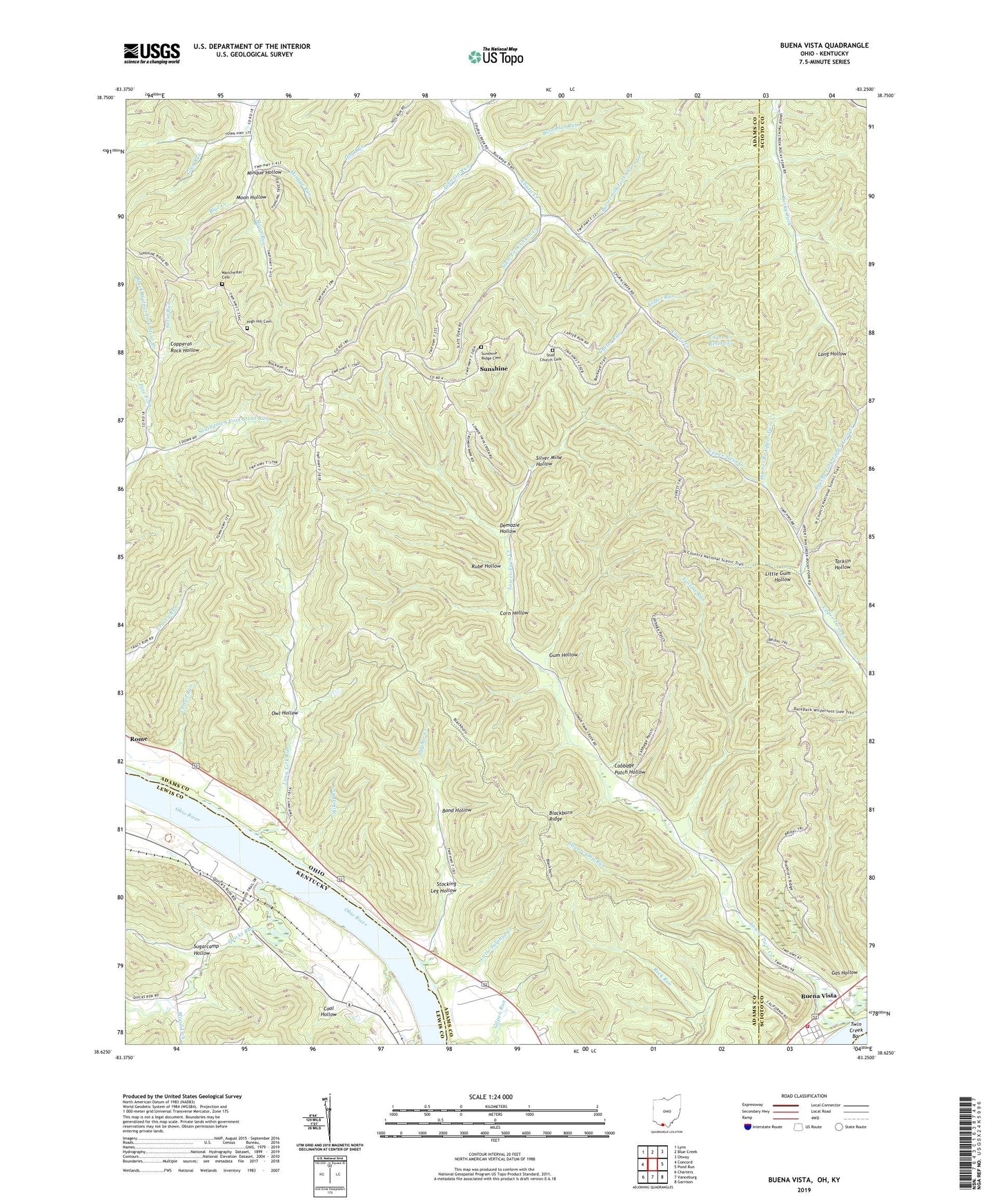
2023 topographic map quadrangle Buena Vista in the states of Ohio, Kentucky. Scale: 1:24000. Based on the newly updated USGS 7.5' US Topo map series, this map is in the following counties: Adams, Scioto, Lewis. The map contains contour data, water features, and other items you are used to seeing on USGS maps, but also has updated roads and other features. This is the next generation of topographic maps. Printed on high-quality waterproof paper with UV fade-resistant inks.
Quads adjacent to this one:
West: Concord
Northwest: Lynx
North: Blue Creek
Northeast: Otway
East: Pond Run
Southeast: Garrison
South: Vanceburg
Southwest: Charters
This map covers the same area as the classic USGS quad with code o38083f3.
Contains the following named places: Aills Chapel Church, Black Walnut Fork Stout Creek, Blackburn Ridge, Blood Lick, Blue Creek School, Bolander Run, Bond Hollow, Bradfords Landing, Brushy Fork School, Brushy Fork Upper Twin Creek, Buena Vista, Buena Vista Post Office, Buttermilk Fork Churn Creek, Cabbage Patch Hollow, Carter Run, Churn Creek Church, Churn Creek Reservoir, Coal Hollow, Coffer Run, Copperas Rock Hollow, Corn Hollow, Dam Number 32, Demazie Hollow, Forsythes Landing, Fosters Landing, Gas Hollow, Glen Run, Grahams Railroad Station, Gum Hollow, Halbert Post Office, Hall Fork, High Hill Cemetery, High Hill School, Horner Branch Upper Twin Creek, Johnson Run, Johnson Run School, Kimballs Landing, Little Gum Hollow, Little Sulphur Creek, Lock and Dam Number 32, Long Lick Run, Long Lick School, Lower Churn Creek School, Lower Twin Creek, Lower Twin Creek School, Manchester Cemetery, Meldahls Landing, Minque Hollow, Minque Run, Moon Hollow, Moon Run, Moores Landing, Needmore School, Nile Township Volunteer Fire Department Station 2, Owl Hollow, Pine Fork, Quicks Run, Rube Hollow, Selig, Shamrock Landing, Shawnee State Wilderness, Silver Mine Hollow, Slate Fork Churn Creek, Southdown Fork Stout Run, Step Church, Step Church Cemetery, Stocking Leg Hollow, Stone Chimney Landing, Sugarcamp Hollow, Sugarcamp Run, Sulphur Creek, Sulphur Lick School, Sunshine, Sunshine Ridge Cemetery, Swearingens Landing, Township of Green, Twin Creek Bar, Twin Creek Lookout Tower, Twin Creek Mission, Upper Blue Creek Tabernacle, Upper Rocky Fork Church, Vastine Run, Wikoff Run, Williams Landing, Wyckoffs Landing, Wyckoffs Run