MyTopo
Christiansburg Ohio US Topo Map
Couldn't load pickup availability
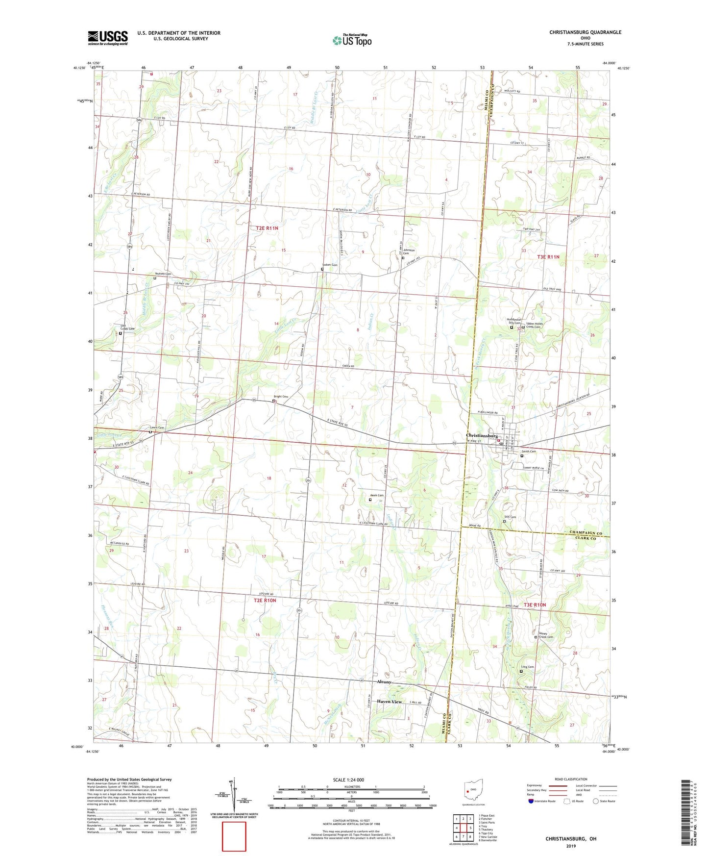
2023 topographic map quadrangle Christiansburg in the state of Ohio. Scale: 1:24000. Based on the newly updated USGS 7.5' US Topo map series, this map is in the following counties: Miami, Champaign, Clark. The map contains contour data, water features, and other items you are used to seeing on USGS maps, but also has updated roads and other features. This is the next generation of topographic maps. Printed on high-quality waterproof paper with UV fade-resistant inks.
Quads adjacent to this one:
West: Troy
Northwest: Piqua East
North: Fletcher
Northeast: Saint Paris
East: Thackery
Southeast: Donnelsville
South: New Carlisle
Southwest: Tipp City
This map covers the same area as the classic USGS quad with code o40084a1.
Contains the following named places: Alcony, Alcony Post Office, Alcony School, Bair Farms, Bel Mar Farms, Bobolink Pond, Bodenmiller Farms, Bright Cemetery, Brown School, Burr Oak School, Butler Farm, Casstown Community Volunteer Fire Company, Castle Hill Farm, Christiansburg, Christiansburg Fire Company, Christiansburg Post Office, Circle G Farm, Dade Field, Double J Farm, Enterprise Church, Fairview School, Fletcher Brown Township Emergency Medical Services, Fletcher Volunteer Fire Department, Garden Stone Greenhouse, Haven View, Henger Farms, Hill Grove School, Honey Creek Cemetery, Honey Creek Church, Huddleston-Sills Cemetery, Johnston Cemetery, Karnehm Farm, Killdeer Ridge Farms, Lewis Cemetery, Long Cemetery, Lost Creek Cemetery, Lost Creek Church, Lost Creek School, Lostcreek Baptist Church, Lostcreek German Baptist Church, McNeal Ditch, Meek Cemetery, Miami East High School, Moore School, Morton School, Pleasant Hill School, Providence Baptist Church, Rat Fork Farm, Rugged Hill School, Salem Presbyterian Church, School Number 6, Sills Cemetery, Smith Cemetery, Sodom, Sodom Cemetery, Suber Farms, Township of Elizabeth, Township of Lostcreek, Upper Honey Creek Cemetery, Village of Christiansburg, Volk Fruit Farms, Wesley Chapel Methodist Episcopal Church, Yingst Farms, Youtsey Cemetery, ZIP Codes: 45312, 45389


