MyTopo
Moulton Ohio US Topo Map
Couldn't load pickup availability
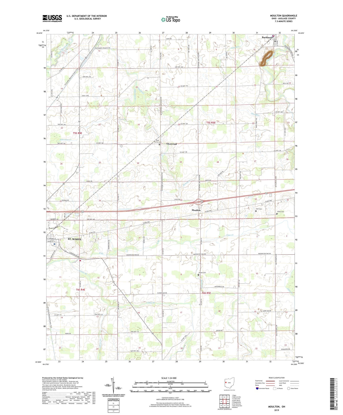
2023 topographic map quadrangle Moulton in the state of Ohio. Scale: 1:24000. Based on the newly updated USGS 7.5' US Topo map series, this map is in the following counties: Auglaize. The map contains contour data, water features, and other items you are used to seeing on USGS maps, but also has updated roads and other features. This is the next generation of topographic maps. Printed on high-quality waterproof paper with UV fade-resistant inks.
Quads adjacent to this one:
West: Saint Marys
Northwest: Elgin
North: Spencerville
Northeast: Cridersville
East: Wapakoneta
Southeast: Botkins
South: New Knoxville
Southwest: New Bremen
This map covers the same area as the classic USGS quad with code o40084e3.
Contains the following named places: Ankerman Creek, Arnett Cemetery, Bay, Brewer School, Buckland, Buckland Police Department, Buckland Post Office, Buckland Volunteer Fire Department, Carter Creek, Carter Creek School, Center Branch, Clear Creek, Columbia Estates Mobile Home Park, Doering School, Dorley School, East Branch, Elm Tree School, Glynnwood Post Office, Glynwood, Homan Dairy, Hutchison School, Joint Township District Memorial Hospital, Julion Cemetery, Lock Number 14, Moulton, Moulton Elementary School, Moulton Post Office, Muddy Creek, Phyle School, Saint Marys Township Fire Department, Saint Patricks Catholic Church, Saint Thomas Cemetery, School Number 2, School Number 4, School Number 6, School Number 7, Stroh School, Sudman Field, Township of Moulton, Township of Washington, Trinity Lutheran Church, Village of Buckland, Walnut Grove School, Walnut Grove United Methodist Church, Wesleyan Methodist Church, Yhl School, Zion Cemetery, ZIP Code: 45819