MyTopo
Peoria Ohio US Topo Map
Couldn't load pickup availability
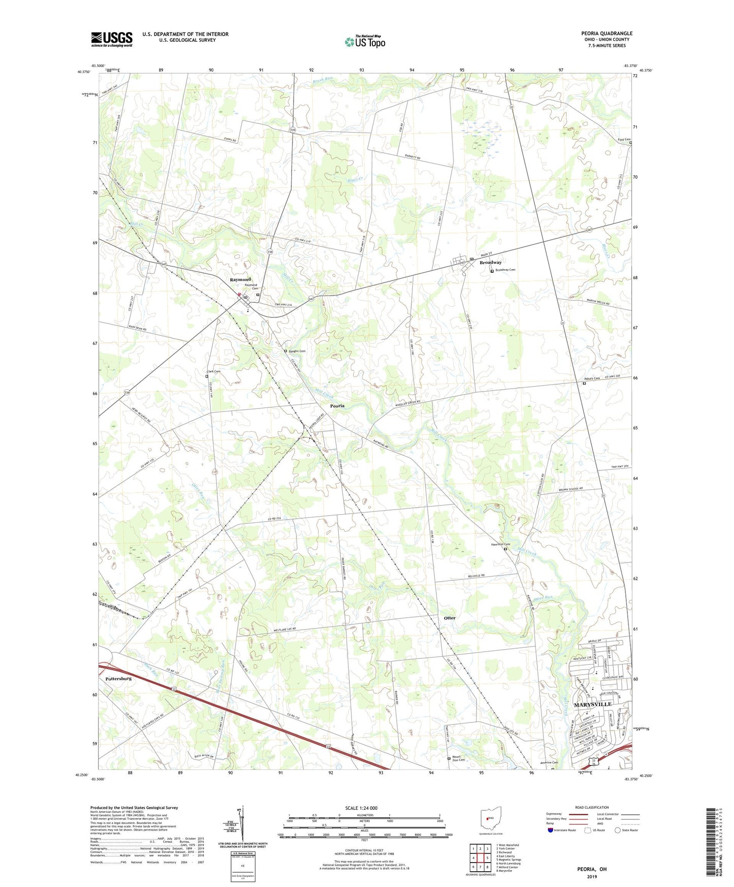
2019 topographic map quadrangle Peoria in the state of Ohio. Scale: 1:24000. Based on the newly updated USGS 7.5' US Topo map series, this map is in the following counties: Union. The map contains contour data, water features, and other items you are used to seeing on USGS maps, but also has updated roads and other features. This is the next generation of topographic maps. Printed on high-quality waterproof paper with UV fade-resistant inks.
Quads adjacent to this one:
West: East Liberty
Northwest: West Mansfield
North: York Center
Northeast: Richwood
East: Magnetic Springs
Southeast: Marysville
South: Milford Center
Southwest: North Lewisburg
Contains the following named places: Amarine School, Amerine Cemetery, Asbury Cemetery, Asbury School, Baughn Cemetery, Bear Swamp, Bear Swamp Run, Bliss Dairy, Blue School, Bokes Creek School, Braum School, Broadway, Broadway Cemetery, Broadway Post Office, Calvary Church, Carter School, Clark Cemetery, East Elementary School, Ford Cemetery, Fruit-Full Acres, Hamilton Cemetery, Henpeck School, Liberty Township Fire Department and Emergency Medical Services Department, Mount Zion Cemetery, North Western High School, Ohio State Highway Patrol - Marysville Patrol Post, Otter, Otter Run, Peoria, Peoria Post Office, Raymond, Raymond Cemetery, Raymond Census Designated Place, Raymond Elementary School, Raymond Post Office, Shirk School, Stub School, Taylor Centre, Taylor Centre Post Office, Taylor School, Township of Liberty, Township of Taylor, ZIP Code: 43067