MyTopo
Port Clinton Ohio US Topo Map
Couldn't load pickup availability
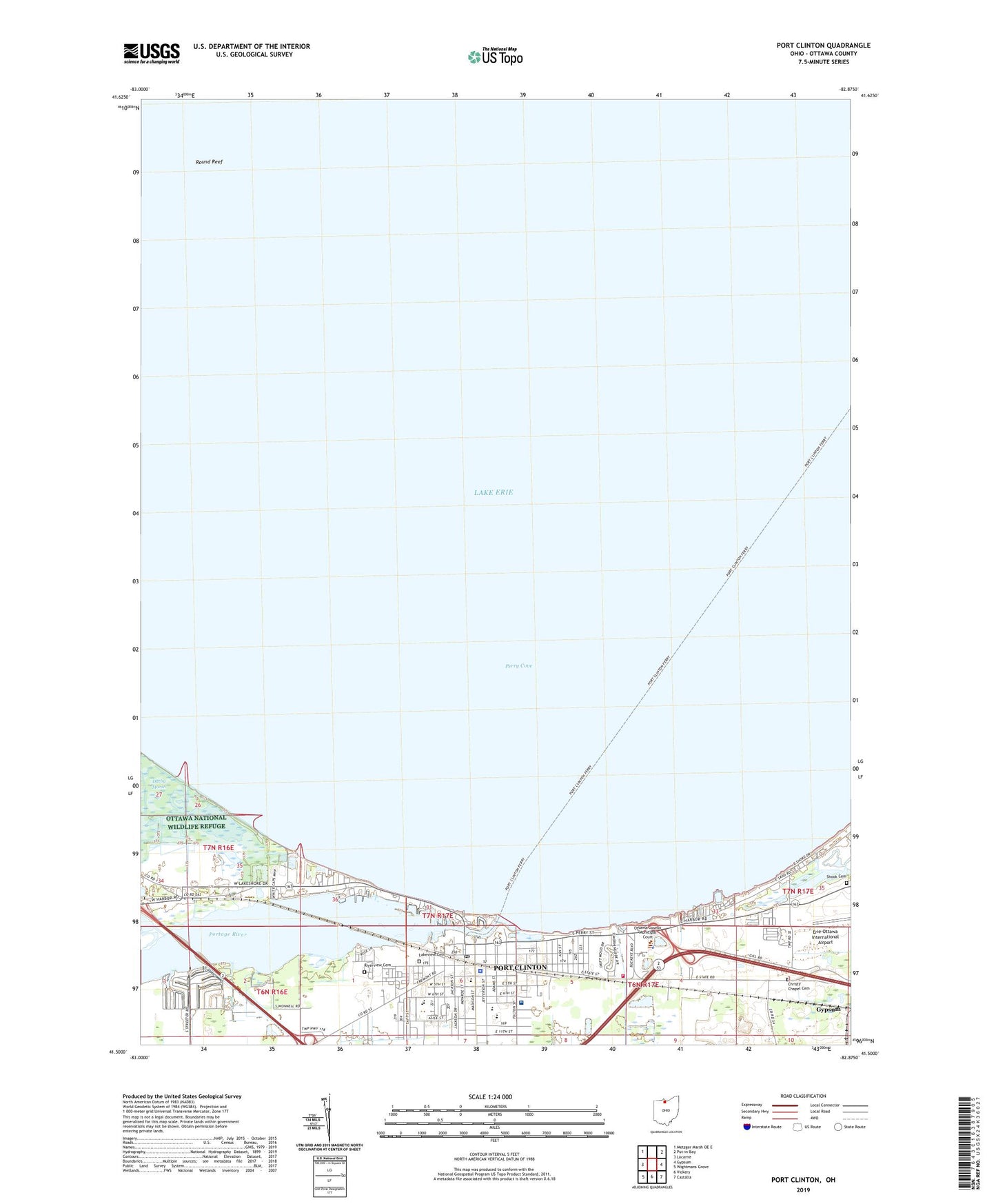
2023 topographic map quadrangle Port Clinton in the state of Ohio. Scale: 1:24000. Based on the newly updated USGS 7.5' US Topo map series, this map is in the following counties: Ottawa. The map contains contour data, water features, and other items you are used to seeing on USGS maps, but also has updated roads and other features. This is the next generation of topographic maps. Printed on high-quality waterproof paper with UV fade-resistant inks.
Quads adjacent to this one:
West: Lacarne
Northwest: Metzger Marsh OE E
Northeast: Put-in-Bay
East: Gypsum
Southeast: Castalia
South: Vickery
Southwest: Wightmans Grove
This map covers the same area as the classic USGS quad with code o41082e8.
Contains the following named places: American Mine Number 2, Bataan Memorial Intermediate School, Brands Marina, Christy Chapel Cemetery, Christy Chapel Methodist Episcopal Church, City of Port Clinton, Clinton Reef Marina, Darby Marsh, First Baptist Church, Ida Rupp Public Library, Immaculate Conception Church, Immaculate Conception School, Jefferson Elementary School, Jefferson Junior High School, Kingdom Hall of Jehovahs Witnesses, Lakeview Cemetery, Lakeview Park, Magruder Hospital, Magruder Memorial Heliport, Ottawa County Courthouse, Ottawa County Law Library, Ottawa County Sheriff's Office, Peace Lutheran Church, Perry Cove, Port Clinton, Port Clinton City Hall, Port Clinton East Pierhead Light, Port Clinton Emergency Ambulance Service, Port Clinton Fire Department, Port Clinton High School, Port Clinton Light, Port Clinton Plaza Shopping Center, Port Clinton Police Department, Port Clinton Post Office, Portage River, Resurrection Lutheran Church, Riverview Cemetery, Round Reef, Saint Pauls Church, Saint Thomas Episcopal Church, Shook Cemetery, Summer Winds Marina, The Wesleyan Church, Township of Erie, Township of Portage, Trinity United Methodist Church, Tru-Lay Stadium, WXKR-FM (Port Clinton), ZIP Codes: 43433, 43452


