MyTopo
Wightmans Grove Ohio US Topo Map
Couldn't load pickup availability
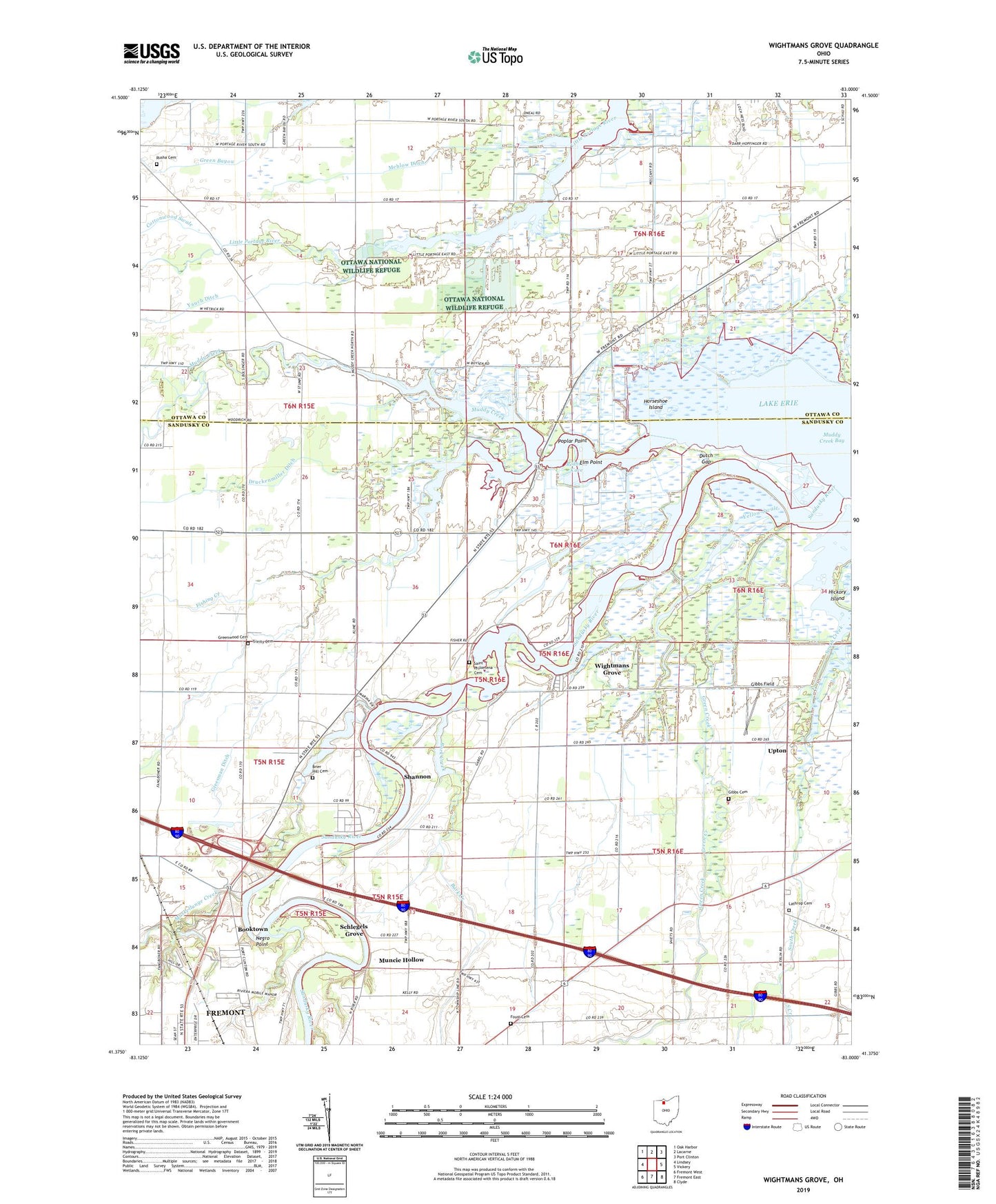
2023 topographic map quadrangle Wightmans Grove in the state of Ohio. Scale: 1:24000. Based on the newly updated USGS 7.5' US Topo map series, this map is in the following counties: Sandusky, Ottawa. The map contains contour data, water features, and other items you are used to seeing on USGS maps, but also has updated roads and other features. This is the next generation of topographic maps. Printed on high-quality waterproof paper with UV fade-resistant inks.
Quads adjacent to this one:
West: Lindsey
Northwest: Oak Harbor
North: Lacarne
Northeast: Port Clinton
East: Vickery
Southeast: Clyde
South: Fremont East
Southwest: Fremont West
This map covers the same area as the classic USGS quad with code o41083d1.
Contains the following named places: Apollo Mobile Home Park, Bark Creek, Bay Township Fire Department, Booktown, Brier Hill Cemetery, Buehler Ditch, Cottonwood Swale, Druckenmiller Ditch, Dutch Gap, Elm Point, Fishing Creek, Foust Cemetery, Gibbs Cemetery, Gibbs Farms, Gibbs Field, Gonya Farms, Green Creek, Green Creek Hunting Club, Greenwood Cemetery, Greesman Ditch, Harder Farm, Horseshoe Island, Lathrop Cemetery, Little Muddy Creek, Little Portage River Wildlife Area, Mehlow Ditch, Memory Marina, Muddy Creek, Muddy Creek Bay, Muncie Hollow, Muskellunge Creek, Negro Point, Ottawa Shooting Club, Paul Murray Wildlife Area, Polter's Berry Farm, Poplar Point, Redhead Cove, Riley Center, Riverfront Marina, Riviera Mobile Manor, Saint Pauls Church, Saint Philomena Cemetery, Sandusky River, Sandusky River Yacht and Outboard Club, Schlegels Grove, Shannon, Shorewood Village, Township of Bay, Township of Rice, Township of Riley, Trinity Cemetery, Trinity Lutheran Church, Upton, West Bay Club, Wightmans Grove, Wightmans Grove Census Designated Place, Yauch Ditch, Yellow Swale, Zimmerman Airport


