MyTopo
Sardinia Ohio US Topo Map
Couldn't load pickup availability
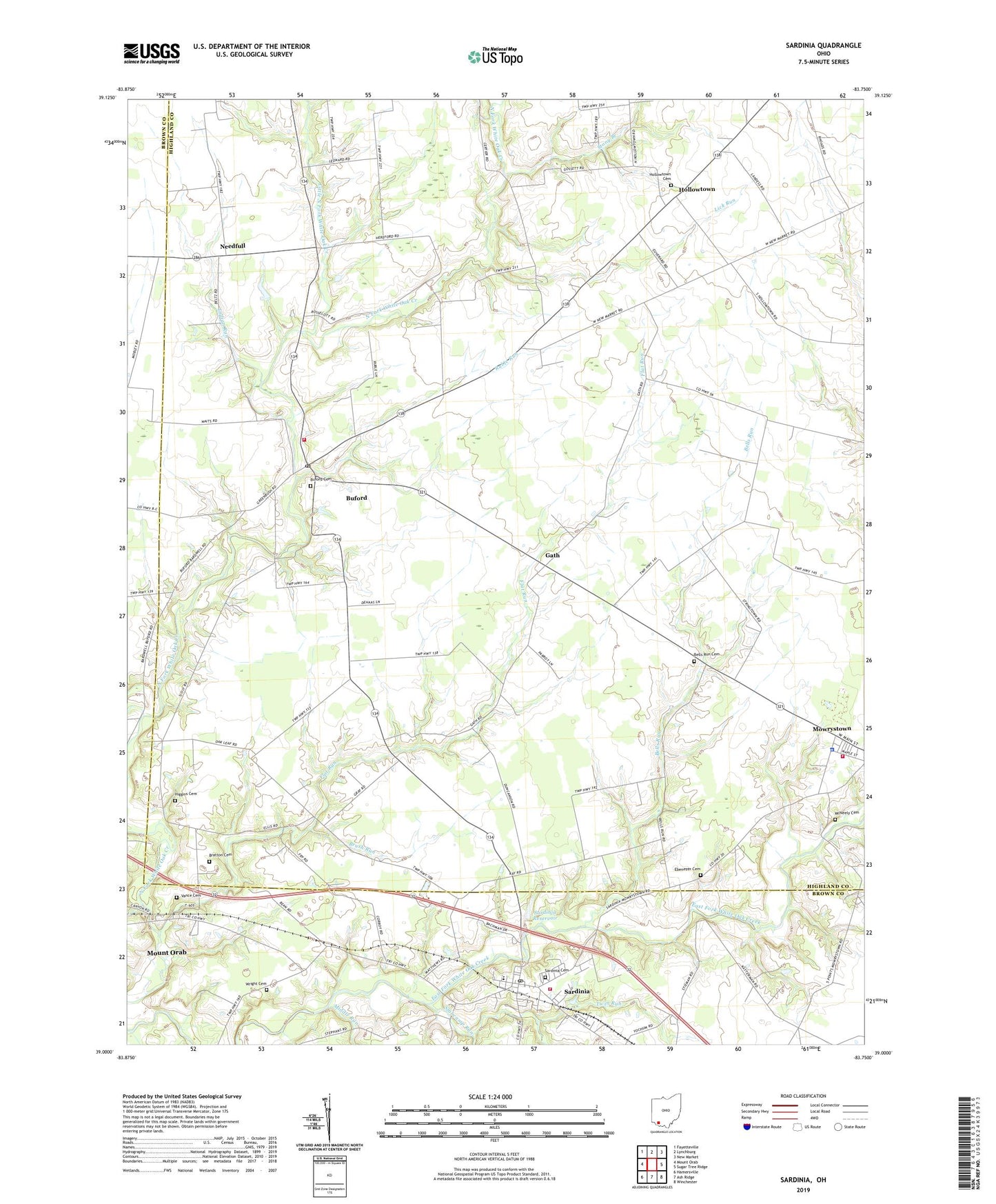
2023 topographic map quadrangle Sardinia in the state of Ohio. Scale: 1:24000. Based on the newly updated USGS 7.5' US Topo map series, this map is in the following counties: Highland, Brown. The map contains contour data, water features, and other items you are used to seeing on USGS maps, but also has updated roads and other features. This is the next generation of topographic maps. Printed on high-quality waterproof paper with UV fade-resistant inks.
Quads adjacent to this one:
West: Mount Orab
Northwest: Fayetteville
North: Lynchburg
Northeast: New Market
East: Sugar Tree Ridge
Southeast: Winchester
South: Ash Ridge
Southwest: Hamersville
This map covers the same area as the classic USGS quad with code o39083a7.
Contains the following named places: Bell Run School, Bells Run, Bells Run Cemetery, Bratton Cemetery, Brush Run, Buford, Buford Cemetery, Buford Census Designated Place, Buford Elementary School, Buford Post Office, Coddaman School, Duncanson School, Ebenezer Cemetery, Ebenezer School, Elm School, Flat Run, Gath, Gath Post Office, Harwood Post Office, Higgins Cemetery, Hollowtown, Hollowtown Cemetery, Hollowtown Post Office, Indian Run, Katterman Church, Lazy Ridge School, Lick Run, Little North Fork White Oak Creek, Maple Grove School, McNeely Cemetery, Memory Lane Tree Farm, Middle Run, Mount Orab Fire Department Station 67, Mowrystown Fire Department and Emergency Medical Services Station, Mowrystown Police Department, Needful Post Office, Needfull, Oakley School, Reedy School, Ruble Run, Sardinia, Sardinia Cemetery, Sardinia Emergency Medical Service, Sardinia Fire Department Station 35, Sardinia Post Office, Sardinia Reservoir, Sardinia Reservoir Dam, Sicily, Sicily Post Office, Slabcamp Run, Stony Branch, Tolle School, Township of Clay, Turkey Hole Run, Twin Run, Vance Cemetery, Village of Mowrystown, Village of Sardinia, White Oak Golf Course, White School, Workman Farm, Wright Cemetery, ZIP Codes: 45155, 45171


