MyTopo
Baker Mountain Oklahoma US Topo Map
Couldn't load pickup availability
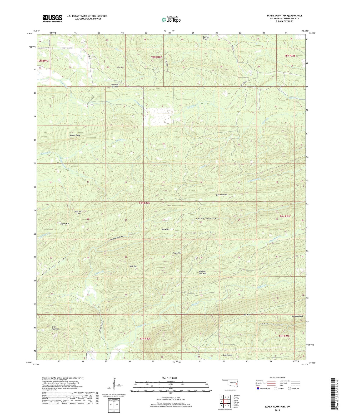
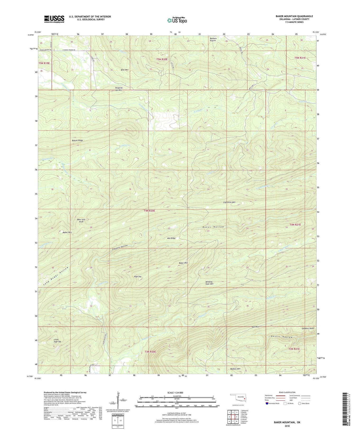
2018 topographic map quadrangle Baker Mountain in the state of Oklahoma. Scale: 1:24000. Based on the newly updated USGS 7.5' US Topo map series, this map is in the following counties: Latimer. The map contains contour data, water features, and other items you are used to seeing on USGS maps, but also has updated roads and other features. This is the next generation of topographic maps. Printed on high-quality waterproof paper with UV fade-resistant inks.
Quads adjacent to this one:
West: Damon
Northwest: Wilburton
North: Panola
Northeast: Red Oak
East: Talihina
Southeast: Albion
South: Kiamichi
Southwest: Yanush
Contains the following named places: Baker Mountain, Bear Suck Knob, Bobcat Ridge, Bridge Set Creek, Buffalo Mountain, Coopers Branch, Coopers Hollow, Dripping Vat Mountain, Eightmile Mountain, Gobblers Knob, High Top, Little High Top, Middle Mountain, Middle Ridge, North Long Creek, Weber Mountain