MyTopo
Damon Oklahoma US Topo Map
Couldn't load pickup availability
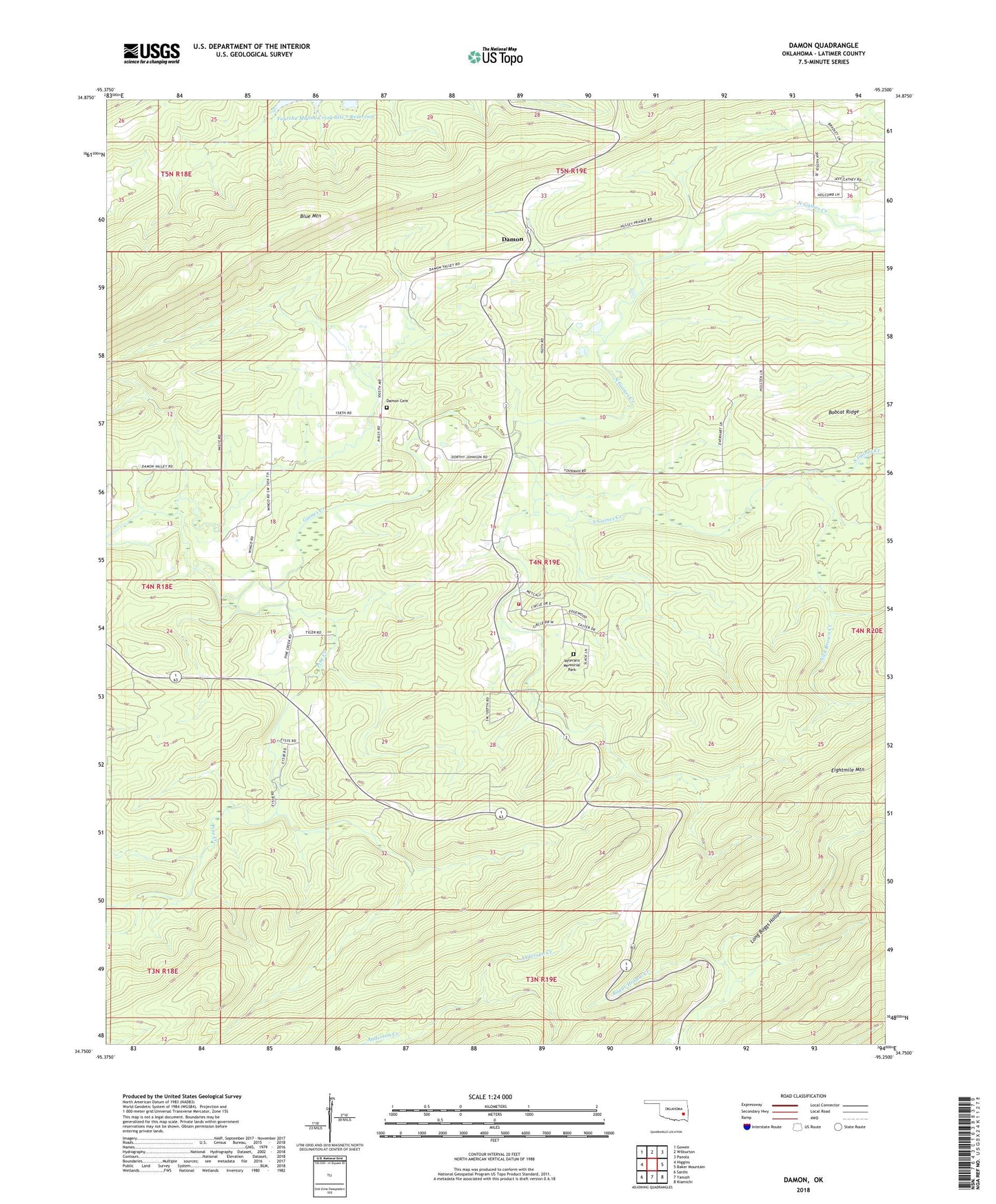
2022 topographic map quadrangle Damon in the state of Oklahoma. Scale: 1:24000. Based on the newly updated USGS 7.5' US Topo map series, this map is in the following counties: Latimer. The map contains contour data, water features, and other items you are used to seeing on USGS maps, but also has updated roads and other features. This is the next generation of topographic maps. Printed on high-quality waterproof paper with UV fade-resistant inks.
Quads adjacent to this one:
West: Higgins
Northwest: Gowen
North: Wilburton
Northeast: Panola
East: Baker Mountain
Southeast: Kiamichi
South: Yanush
Southwest: Sardis
This map covers the same area as the classic USGS quad with code o34095g3.
Contains the following named places: Damon, Damon Cemetery, Gum Creek Church, Long Boggs Hollow, Nick Brown Creek, North Gaines Creek, Pine Creek, South Gaines Creek, South Latimer Division, Township of Damon, United States War Veteran Colony Volunteer Fire Department, Veterans Colony, Veterans Colony Cemetery