MyTopo
Big Round Mountain Oklahoma US Topo Map
Couldn't load pickup availability
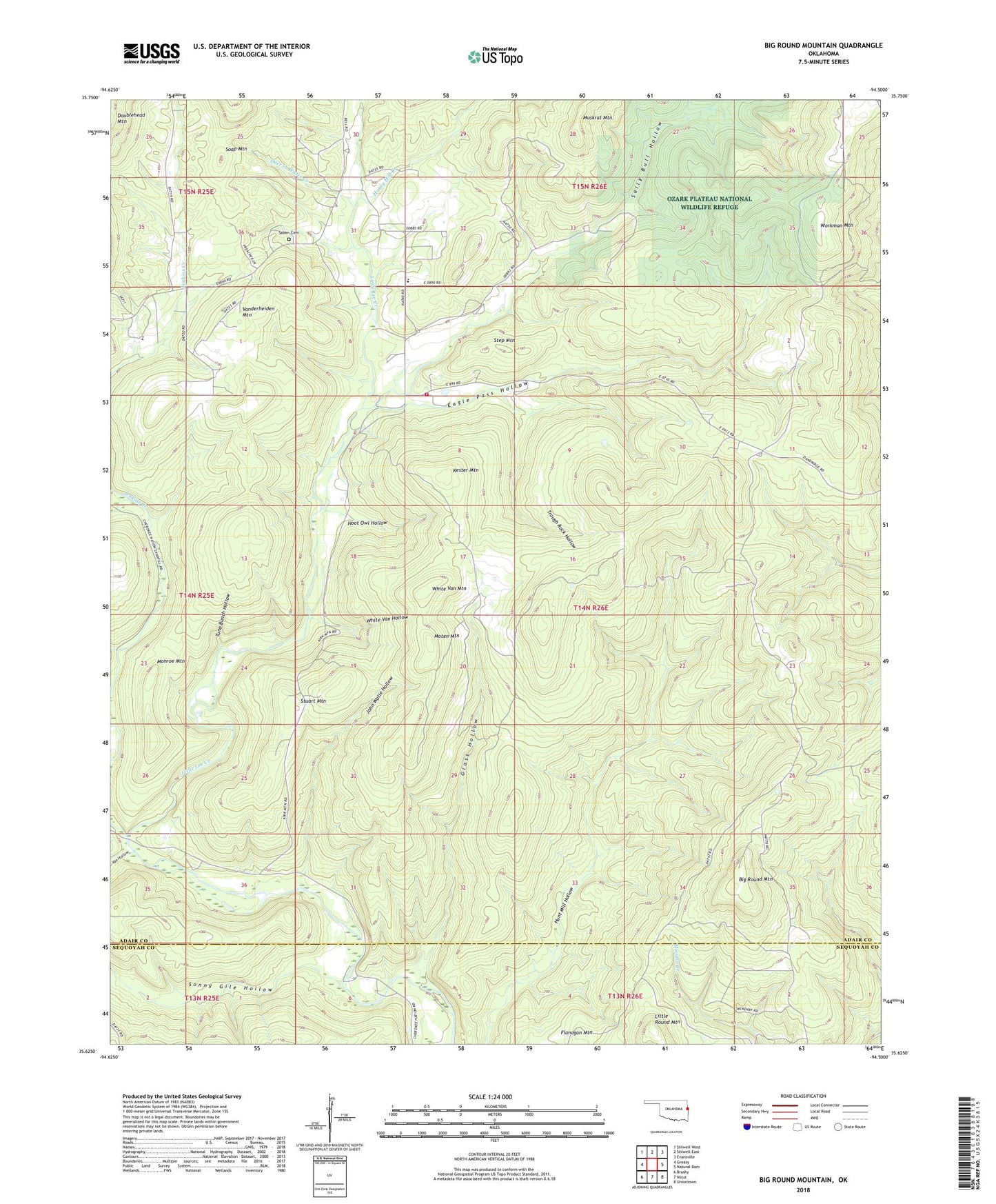
2018 topographic map quadrangle Big Round Mountain in the state of Oklahoma. Scale: 1:24000. Based on the newly updated USGS 7.5' US Topo map series, this map is in the following counties: Adair, Sequoyah. The map contains contour data, water features, and other items you are used to seeing on USGS maps, but also has updated roads and other features. This is the next generation of topographic maps. Printed on high-quality waterproof paper with UV fade-resistant inks.
Quads adjacent to this one:
West: Greasy
Northwest: Stilwell West
North: Stilwell East
Northeast: Evansville
East: Natural Dam
Southeast: Uniontown
South: Nicut
Southwest: Brushy
Contains the following named places: Adair Non-Community, Bell, Bell Census Designated Place, Bell Elementary School, Bell Rural Fire Department, Big Round Mountain, Deer in Water Creek, Eagle Pass Hollow, Elohim City, Elohim City Census Designated Place, Glass Hollow, Honey Hill Branch, Hoot Owl Hollow, Jenkins Creek, John Watie Hollow, Kester Mountain, Little Round Mountain, Monroe Mountain, Moten Mountain, Oak Ridge School, Ozark Plateau National Wildlife Refuge, Rock Fence Cemetery, Salem Cemetery, Salem Church, Sally Bull Hollow, Sonny Gile Hollow, Step Mountain, Stuart Mountain, Township of Lees Creek, Trough Rock Hollow, Tuna Bunch Hollow, Van Hollow, Vanderheiden Mountain, White Van Hollow, White Van Mountain, Workman Mountain