MyTopo
Broken Bow Oklahoma US Topo Map
Couldn't load pickup availability
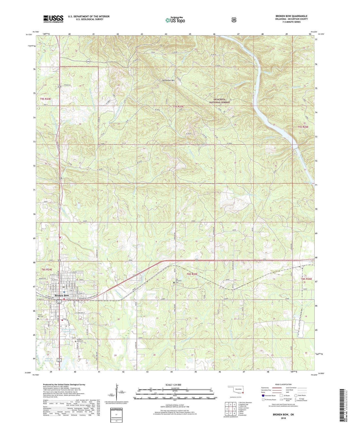
2018 topographic map quadrangle Broken Bow in the state of Oklahoma. Scale: 1:24000. Based on the newly updated USGS 7.5' US Topo map series, this map is in the following counties: McCurtain. The map contains contour data, water features, and other items you are used to seeing on USGS maps, but also has updated roads and other features. This is the next generation of topographic maps. Printed on high-quality waterproof paper with UV fade-resistant inks.
Quads adjacent to this one:
West: Steel Junction
Northwest: Old Glory Mountain
North: Stephens Gap
Northeast: Tablerville
East: Eagletown
Southeast: Goodwater
South: Shults
Southwest: Idabel
Contains the following named places: Bennett Elementary School, Broken Arrow Police Department, Broken Bow, Broken Bow Cemetery, Broken Bow City Lake, Broken Bow City Lake Dam, Broken Bow Division, Broken Bow Fire Department Station 1, Broken Bow Fire Department Station 2, Broken Bow High School, Broken Bow Independent School District, Broken Bow Lookout Tower, Broken Bow Post Office, Carnasaw Creek, Church of Christ, City of Broken Bow, Coon Creek, Craig, Crown Hill Cemetery, Dierks Elementary School, East Fork Yanubbee Creek, Faith Christian Center, First Baptist Church, First Christian Church, Fish Fry Creek, Good News Fellowship, Goodwater Church, Horsepen Branch, Horseshoe Mountain, Lighthouse Christian Center, McCurtain County Emergency Medical Services Broken Bow Substation, Middle Fork Yanubbee Creek, North Highway Church, Oak Grove Church, Oka Achukma Cemetery, Oka Achukma Presbyterian Church, Oklahoma Forestry Services Southeastern Area, Oknoname 089006 Dam, Oknoname 089006 Reservoir, Presbyterian Church, Rector Johnson Middle School, Rough Branch, Saint Matthew Church, Slate Branch, South Park Shopping Center, Sweet Home Church, Tiner, United Pentecostal Church, West Fork Yanubbee Creek